Content tagged as
25 - 37 of 37 Search results
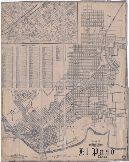
Map and Street Guide of El Paso, Texas circa 1925
Map and street guide of El Paso, Texas. The map includes ...
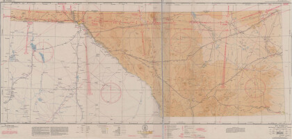
El Paso (P-4) Sectional Aeronautical Chart
Published in April, 1941, this aeronautical map indicates the ...
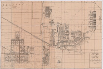
Master Plan Fort Bliss Texas: General Site Plan and Building Map
General site plan of Fort Bliss Texas indicating permanent, ...
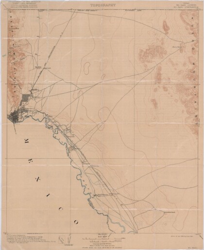
El Paso Quadrangle, Texas (El Paso County)
Topography of El Paso County, Texas and the El Paso Quadrangle. ...
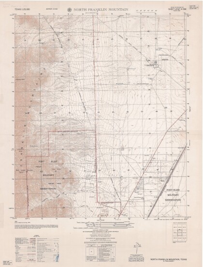
North Franklin Mountain-Sheet 4747 IV NW
A topographical map of the North Franklin Mountain delineates ...
Geological Map of a Portion of West Texas
A geological map of a portion of West Texas based on U.S.G.S. ...
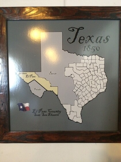
Map of El Paso County 1850, San Elizario as County Seat
This map shows the importance of San Elizario back in the early ...
Load more
