Reportar esta entrada
Más sobre la misma comunidad-colección
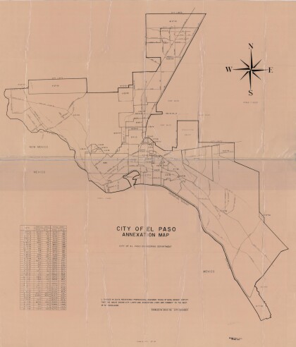
Mapa de anexión de la Ciudad de El Paso
Annexation map of the City of El Paso, Texas. Includes a chart ...
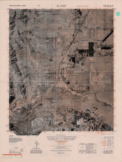
El Paso, Texas - Ft. Bliss y la vecindad
Texas photo map of El Paso, Texas, Ft. Bliss and vicinity. Area ...
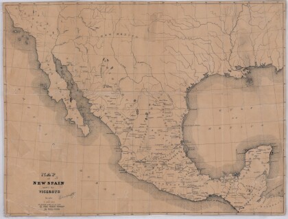
Mapa de Nueva España bajo los virreyes
This map illustrates 1600's New Spain. Areas from New Mexico, ...
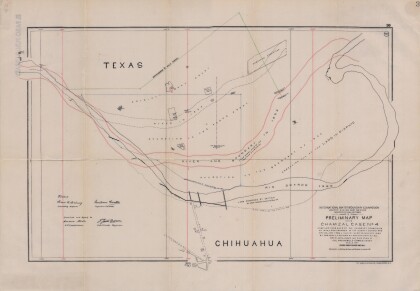
Mapa introductorio del caso Chamizal numero 4.
Map compiled from Boundary Commission maps of 1852, from County ...
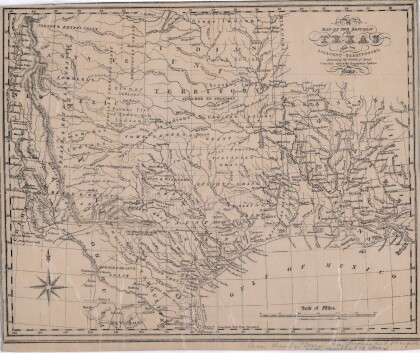
La República de Texas y territorios adyacentes
Map of the Republic of Texas and adjacent territories indicating ...
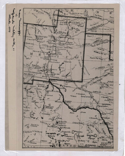
Nuevo México, Texas; Chihuahua, México 1861-1865
Map of the borders between New Mexico, Texas and Chihuahua, ...
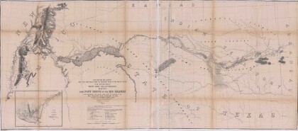
Mapa numero 1º desde Fort Smith hasta el Río Grande.
Map of the route near the 35th parallel. Part of the ...
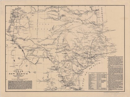
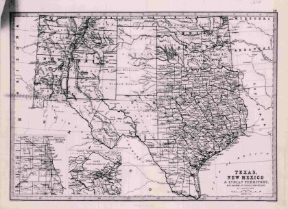
Texas, Nuevo México y Territorio Indio con alrededores de Chicago y Nueva Orleans
Map of Texas counties and New Mexico showing Indian Territories ...
Biggs and Dan-d CVMA Nationals 2018, El Paso!
We rode 1500 miles to celebrate at the national event with our ...
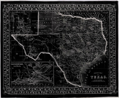
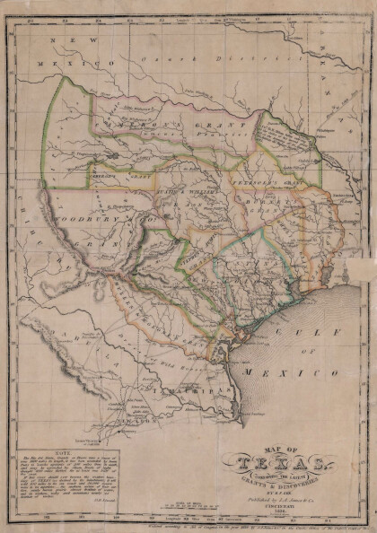
Texas: Conteniendo las concesiones y descubrimientos más recientes
Map of Texas containing the latest grants and discoveries in ...
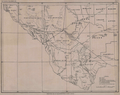
Mapa estructural de Pecos Texas
Map of the Trans-Pecos, Texas area; Outlines and lines are shown ...
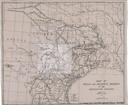
Mapa de Texas y regiones adyacentes en el siglo dieciocho
Map of Texas and the adjacent regions illustrating missions, ...
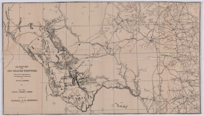
Mapa militar de la frontera del Río Grande
Military map of the Rio Grande frontier prepared from original ...
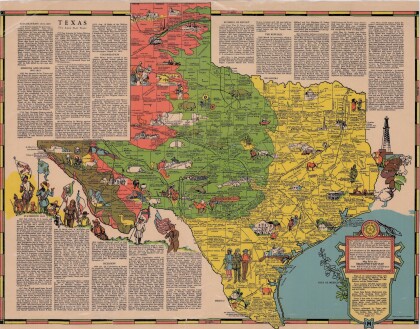
Texas el Estado de la Estrella Solitaria
Picturesque historical map of Texas with information on ...
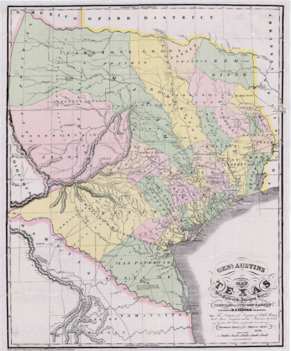
Mapa de Texas y partes de los estados colindantes por el General Austin
Colorful map of Texas highlighting the borders between states ...









Comentarios
Hacer un comentario