IBWC VIII

IBWC VIII

IBWC VIII

IBWC VIII

IBWC VIII

IBWC VIII

IBWC VIII

IBWC VIII

IBWC VIII

IBWC VIII

IBWC VIII

IBWC VIII

IBWC VIII

IBWC VIII

IBWC VIII

IBWC VIII

IBWC VIII

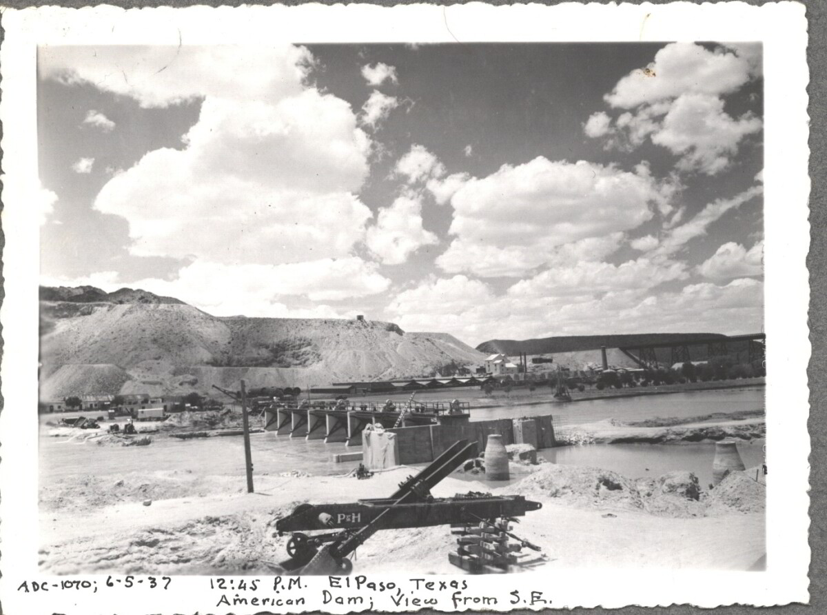
American Dam 1937

Note: 6-5-37, 12:45 pm, El Paso, Texas. American Dam; View from S.E. For centuries the Rio Grande River has been used as a source of irrigation water for agriculture in the El Paso – Juarez area. In 1889 the governments of the United States and Mexico established the International Boundary Commission (IBC), in 1944 renamed the International Boundary and Water Commission (IBWC). One of its early actions was to discuss delivery of Rio Grande water to Mexico. In 1906, the two countries agreed to deliver 60,000 acre-feet of water annually to Mexico at the main irrigation Canal in Ciudad Juarez, known as Acequia Madre. The canal's mouth is two miles downstream from the international border. The remainder of the water would be used by American farmers in the ninety-mile-long El Paso valley. In times of drought both Mexican and American shares would be reduced on a percentage basis. The system did not provide a way for the United States to allot Mexico its rightful portion and keep the rest. As a result, Mexico took its share first and channeled the remainder into the Franklin Canal for the farms in the El Paso valley. According to some American estimates this permitted Mexico to siphon off up to three times its portion of irrigation water. Responding in 1935, Congress authorized two diversionary projects, the American Dam and the American Canal. The dam caught the water in New Mexico short of the international border, measured Mexico's share and allowed it to continue to the Acequia Madre, and diverted everything else into the American Canal, a two-mile feeder leading to the Franklin Canal. The American Canal parallels West Paisano Drive (US Highway 85) and the Burlington Northern Santa Fe Railroad track. The project has proved a successful solution to the problem of dividing the waters. Sources: http://www.tshaonline.org/handbook/online/articles/rua03 http://www.ibwc.gov/Files/EnvironmentalAssessment.pdf

Área: Central / Smeltertown

Fuente: IBWC

Cargado por: El Paso Museum of History

Comentarios

Hacer un comentario
Gracias por su comentario

American Dam 1937

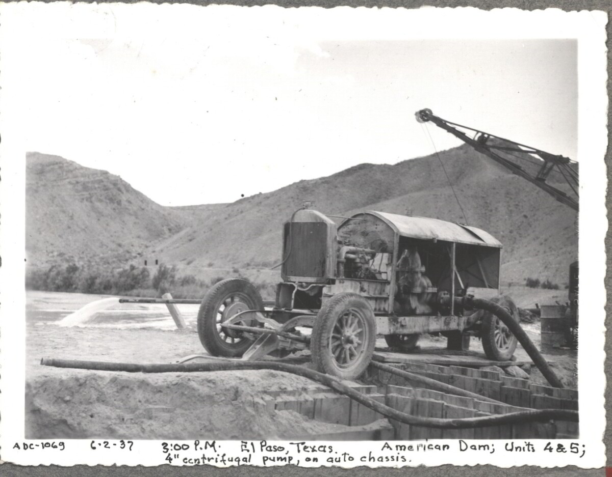
Note: 6-2-37, 3:00pm. El Paso, Texas American Dam; units 4&5; 4" centrifugal pump, on auto chassis. For centuries the Rio Grande River has been used as a source of irrigation water for agriculture in the El Paso – Juarez area. In 1889 the governments of the United States and Mexico established the International Boundary Commission (IBC), in 1944 renamed the International Boundary and Water Commission (IBWC). One of its early actions was to discuss delivery of Rio Grande water to Mexico. In 1906, the two countries agreed to deliver 60,000 acre-feet of water annually to Mexico at the main irrigation Canal in Ciudad Juarez, known as Acequia Madre. The canal's mouth is two miles downstream from the international border. The remainder of the water would be used by American farmers in the ninety-mile-long El Paso valley. In times of drought both Mexican and American shares would be reduced on a percentage basis. The system did not provide a way for the United States to allot Mexico its rightful portion and keep the rest. As a result, Mexico took its share first and channeled the remainder into the Franklin Canal for the farms in the El Paso valley. According to some American estimates this permitted Mexico to siphon off up to three times its portion of irrigation water. Responding in 1935, Congress authorized two diversionary projects, the American Dam and the American Canal. The dam caught the water in New Mexico short of the international border, measured Mexico's share and allowed it to continue to the Acequia Madre, and diverted everything else into the American Canal, a two-mile feeder leading to the Franklin Canal. The American Canal parallels West Paisano Drive (US Highway 85) and the Burlington Northern Santa Fe Railroad track. The project has proved a successful solution to the problem of dividing the waters. Sources: http://www.tshaonline.org/handbook/online/articles/rua03 http://www.ibwc.gov/Files/EnvironmentalAssessment.pdf

Área: Central / Smeltertown

Fuente: IBWC

Cargado por: El Paso Museum of History

Comentarios

Hacer un comentario
Gracias por su comentario

American Dam 1937

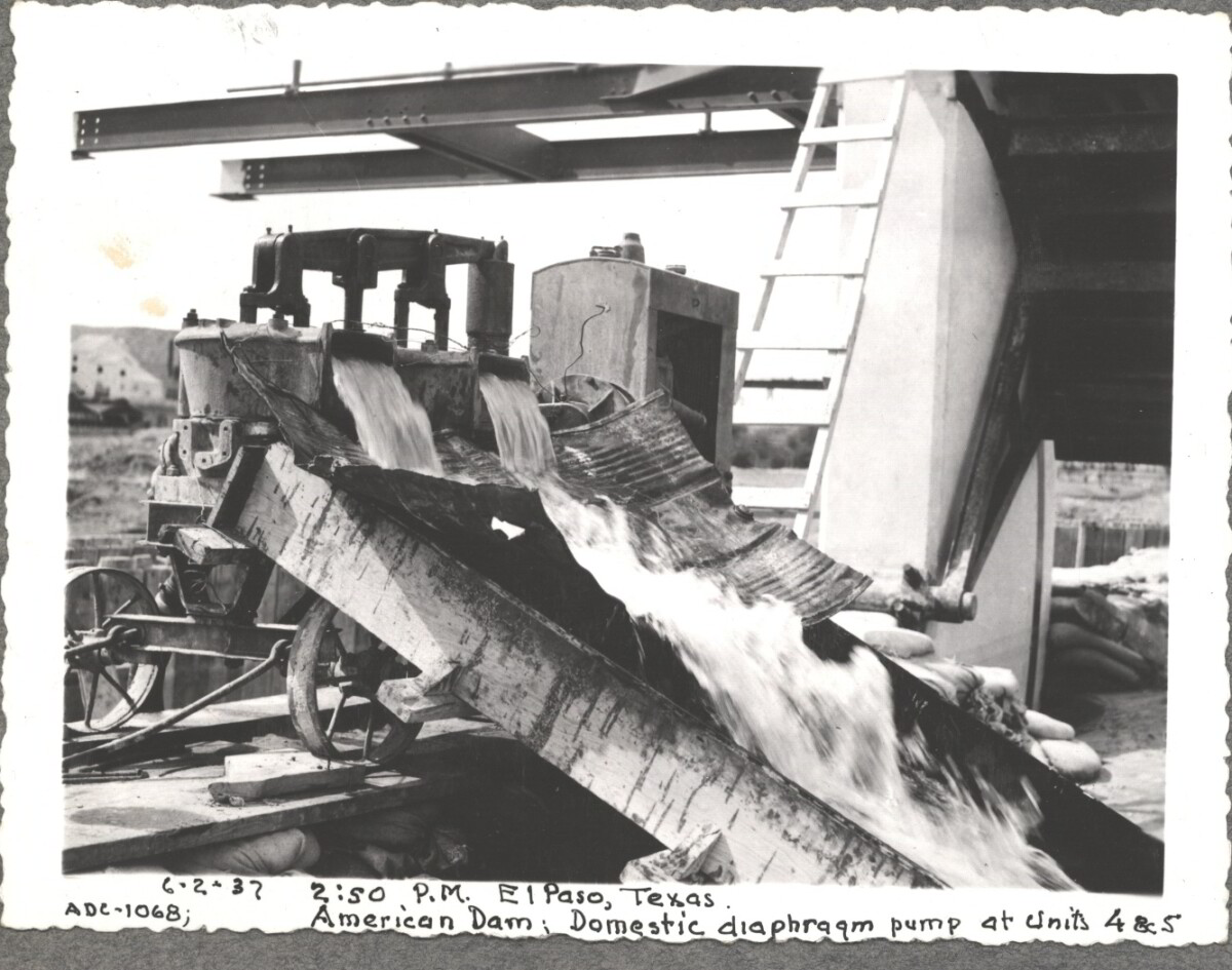
6-2-37, 2:50pm, El Paso, Texas. American Dam; Domestic diaphraqm pump at units 4&5 For centuries the Rio Grande River has been used as a source of irrigation water for agriculture in the El Paso – Juarez area. In 1889 the governments of the United States and Mexico established the International Boundary Commission (IBC), in 1944 renamed the International Boundary and Water Commission (IBWC). One of its early actions was to discuss delivery of Rio Grande water to Mexico. In 1906, the two countries agreed to deliver 60,000 acre-feet of water annually to Mexico at the main irrigation Canal in Ciudad Juarez, known as Acequia Madre. The canal's mouth is two miles downstream from the international border. The remainder of the water would be used by American farmers in the ninety-mile-long El Paso valley. In times of drought both Mexican and American shares would be reduced on a percentage basis. The system did not provide a way for the United States to allot Mexico its rightful portion and keep the rest. As a result, Mexico took its share first and channeled the remainder into the Franklin Canal for the farms in the El Paso valley. According to some American estimates this permitted Mexico to siphon off up to three times its portion of irrigation water. Responding in 1935, Congress authorized two diversionary projects, the American Dam and the American Canal. The dam caught the water in New Mexico short of the international border, measured Mexico's share and allowed it to continue to the Acequia Madre, and diverted everything else into the American Canal, a two-mile feeder leading to the Franklin Canal. The American Canal parallels West Paisano Drive (US Highway 85) and the Burlington Northern Santa Fe Railroad track. The project has proved a successful solution to the problem of dividing the waters. Sources: http://www.tshaonline.org/handbook/online/articles/rua03 http://www.ibwc.gov/Files/EnvironmentalAssessment.pdf

Área: Central / Smeltertown

Fuente: IBWC

Cargado por: El Paso Museum of History

Comentarios

Hacer un comentario
Gracias por su comentario

American Canal

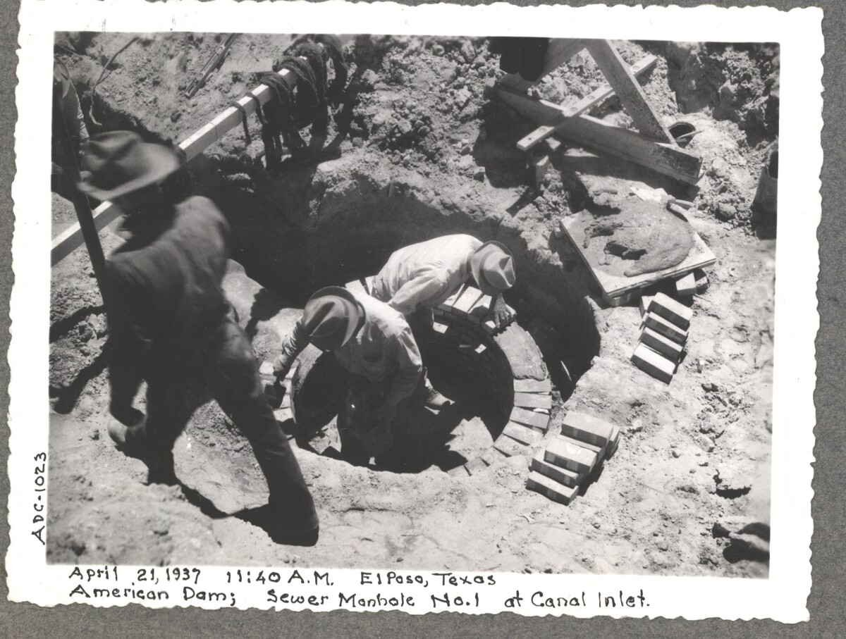
April 19 1937, American Dam sewer manhole construction at No.1 canal inlet.

Área: Central / Smeltertown

Fuente: IBWC

Cargado por: El Paso Museum of History

Comentarios

Hacer un comentario
Gracias por su comentario

American Canal

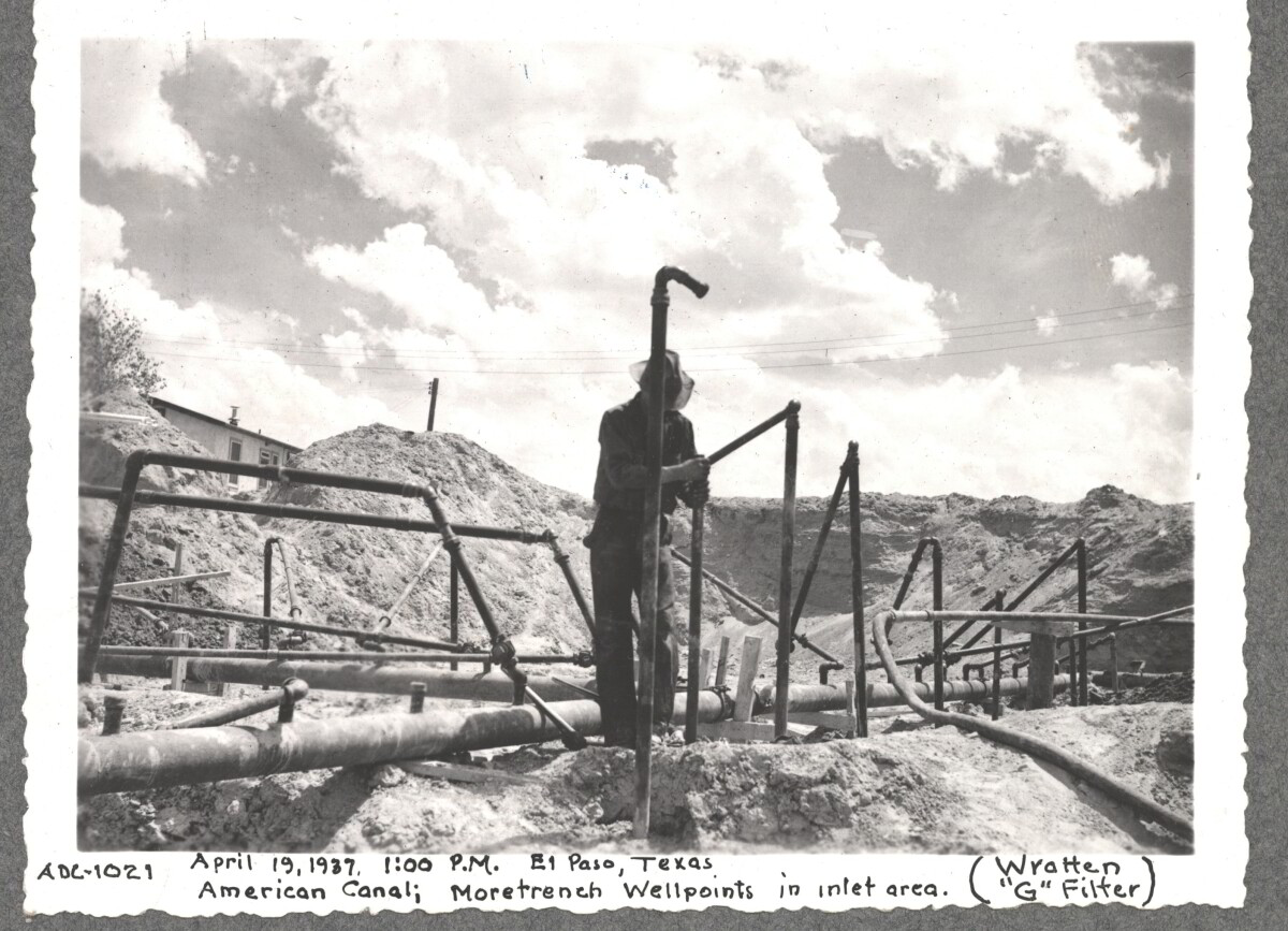
April 19 1937, More Trench at well point, inlet area American Canal

Área: Central / Smeltertown

Fuente: IBWC

Cargado por: El Paso Museum of History

Comentarios

Hacer un comentario
Gracias por su comentario

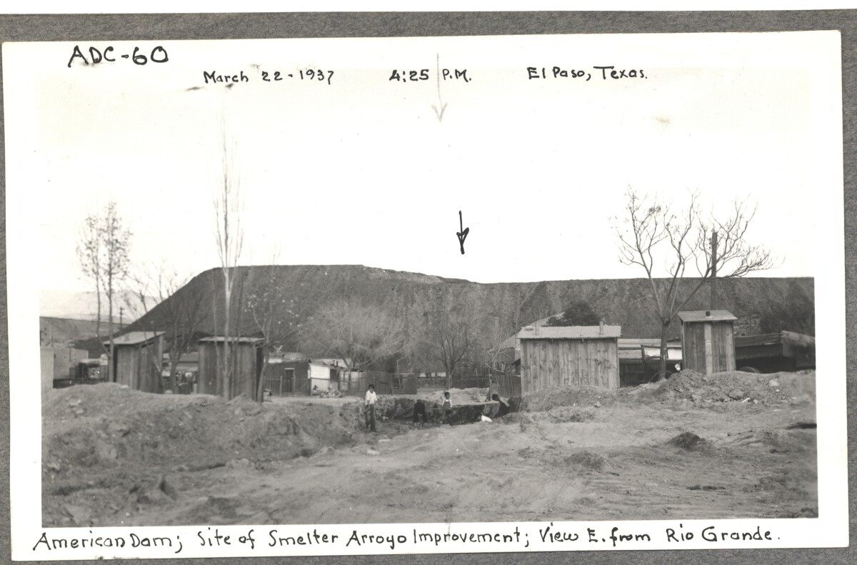
Internatinal Boundary & Water Commission

American Dam, site of smelter from Arroyo improvement; view E. of Rio Grande. March 22, 1937 at 4:25 p.m. El paso, Texas

Área: Central / Smeltertown

Fuente: IBWC

Cargado por: El Paso Museum of History

Comentarios

Hacer un comentario
Gracias por su comentario

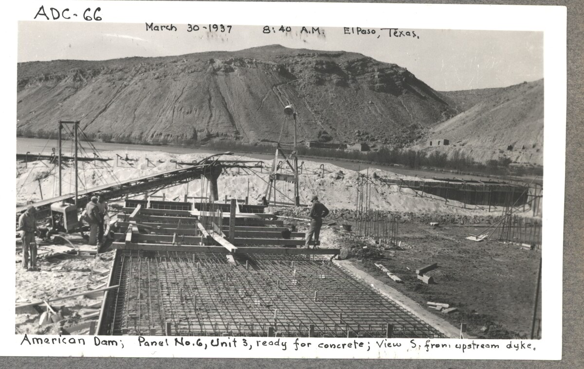
Internatinal Boundary & Water Commission

American Dam; panel No.6 , unit 3, ready for concrete view S. from , upstream dyke. March 30, 1937 at 8:40 a.m El paso, Texas.

Área: Central / Smeltertown

Fuente: IBWC

Cargado por: El Paso Museum of History

Comentarios

Hacer un comentario
Gracias por su comentario

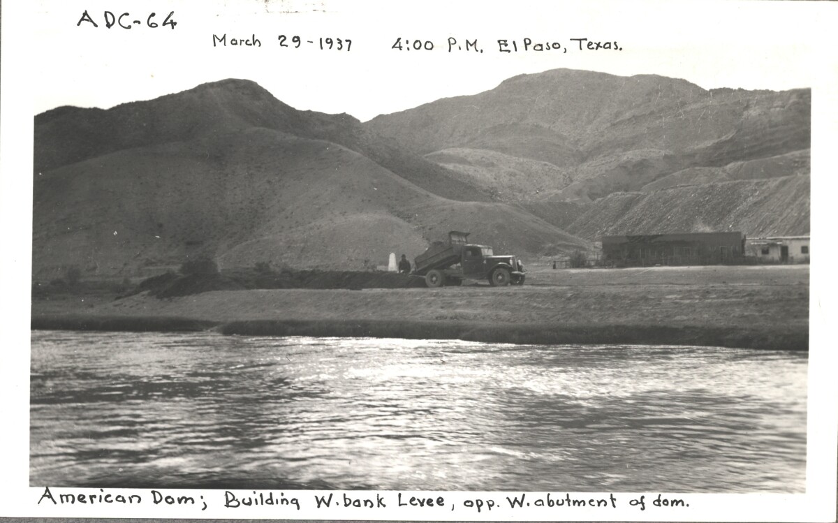
Internatinal Boundary & Water Commission

American Dam; building W. bank levee opp, W. abutment of Dom. March 29, 1937 at 4:00 p.m. El Paso, Texas.

Área: Central / Smeltertown

Fuente: IBWC

Cargado por: El Paso Museum of History

Comentarios

Hacer un comentario
Gracias por su comentario

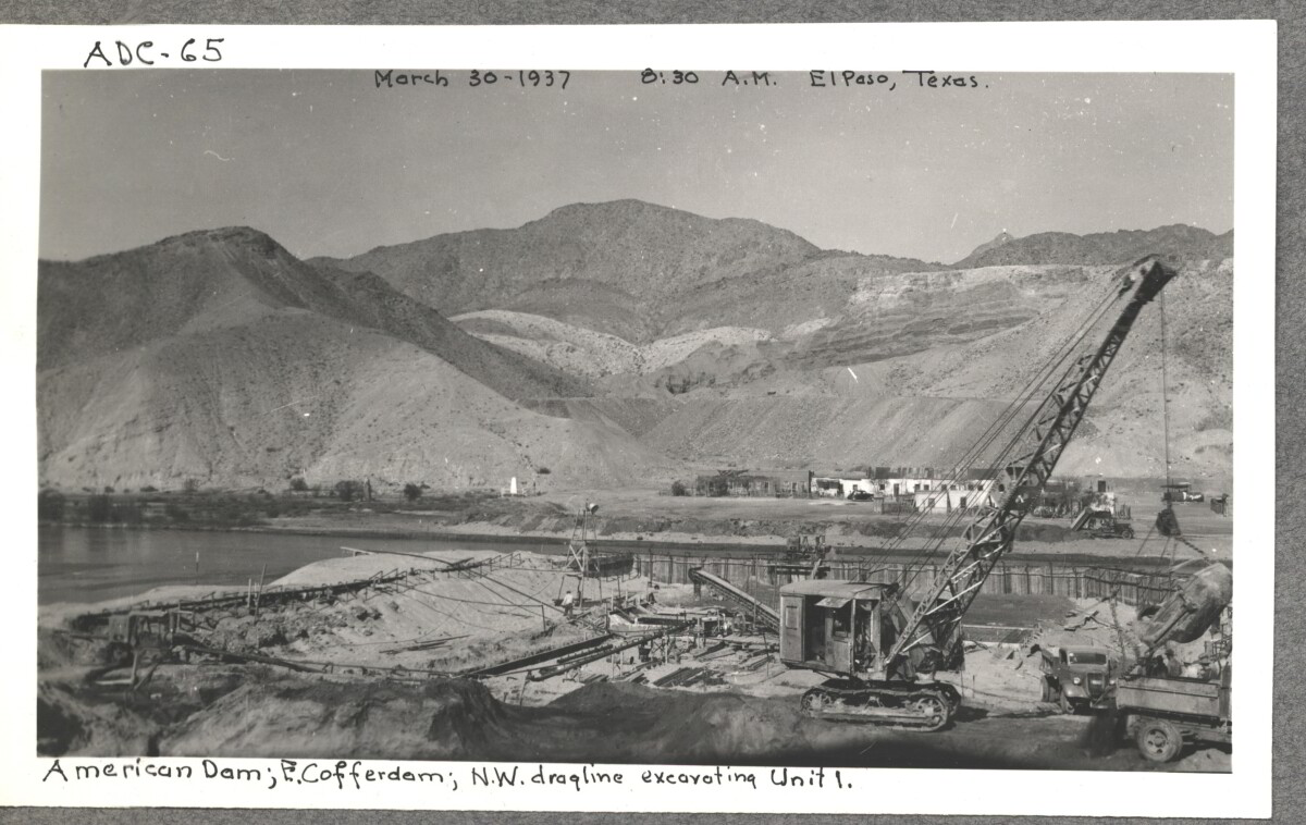
Internatinal Boundary & Water Commission

American Dam; E. cofferdam. N. W. draqline ex carting unit 1. March 30,1937 at 8:30 a.m. El paso, Texas.

Área: Central / Smeltertown

Fuente: IBWC

Cargado por: El Paso Museum of History

Comentarios

Hacer un comentario
Gracias por su comentario

Internatinal Boundary & Water Commission

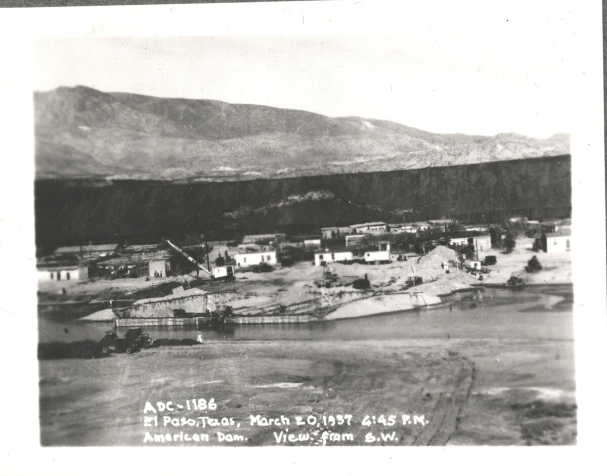
American Dam; view from S. W. El Paso, Texas March 20, 1937 at 4:45 p.m.

Área: Central / Smeltertown

Fuente: IBWC

Cargado por: El Paso Museum of History

Comentarios

Hacer un comentario
Gracias por su comentario

Internatinal Boundary & Water Commission

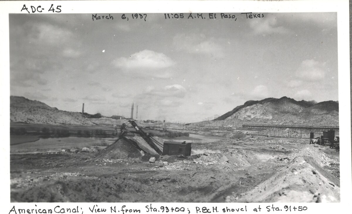
American canal; view N. from Sta. 93+00 ; p.8c H. shovel at Sta. 91+50

Área: Central / Smeltertown

Fuente: IBWC

Cargado por: El Paso Museum of History

Comentarios

Hacer un comentario
Gracias por su comentario

Internatinal Boundary & Water Commission

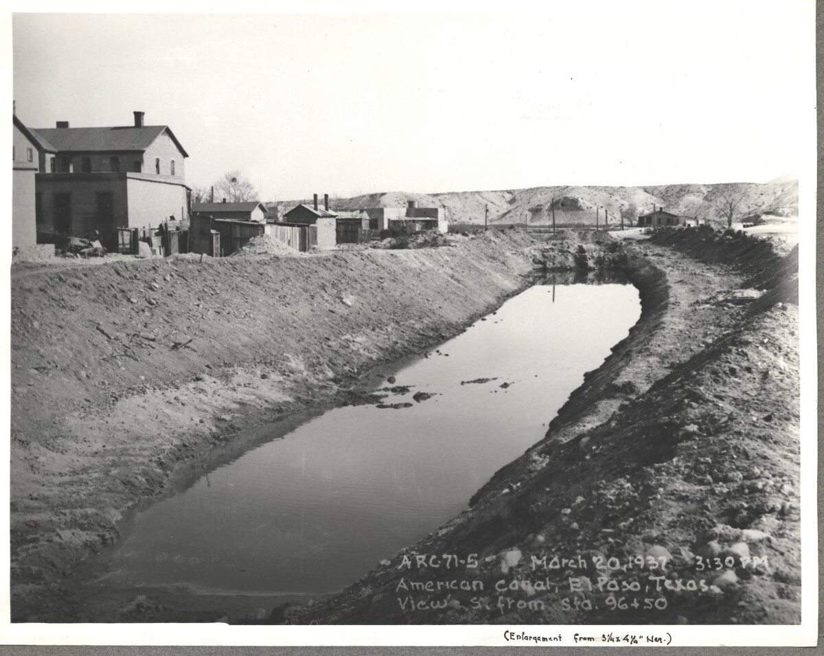
American Canal; El paso, Texas View S. Sta. 96+50. March 20, 1937 at 3:30p.m.

Fuente: IBWC

Cargado por: El Paso Museum of History

Comentarios

Hacer un comentario
Gracias por su comentario

Internatinal Boundary & Water Commission - El Paso, Texas

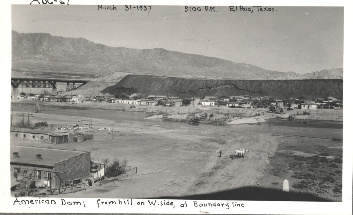
American Dam; view from hill on west side, at boundary line. El Paso, Texas March 31,1937 El Paso, Texas at 3:00 p.m.

Área: Central / Smeltertown

Fuente: IBWC

Cargado por: El Paso Museum of History

Comentarios

Hacer un comentario
Gracias por su comentario

Construction of American Canal, 1937

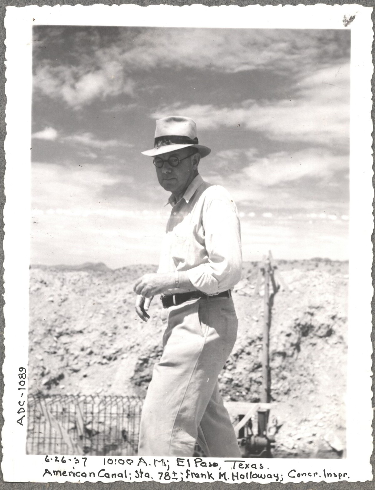
Note: 6-26-37, 10:00am, El Paso, Texas. American Canal; Sta. 78; Frank M. Holloway, Cocr. Inspr. For centuries the Rio Grande River has been used as a source of irrigation water for agriculture in the El Paso – Juarez area. In 1889 the governments of the United States and Mexico established the International Boundary Commission (IBC), in 1944 renamed the International Boundary and Water Commission (IBWC). One of its early actions was to discuss delivery of Rio Grande water to Mexico. In 1906, the two countries agreed to deliver 60,000 acre-feet of water annually to Mexico at the main irrigation Canal in Ciudad Juarez, known as Acequia Madre. The canal's mouth is two miles downstream from the international border. The remainder of the water would be used by American farmers in the ninety-mile-long El Paso valley. In times of drought both Mexican and American shares would be reduced on a percentage basis. The system did not provide a way for the United States to allot Mexico its rightful portion and keep the rest. As a result, Mexico took its share first and channeled the remainder into the Franklin Canal for the farms in the El Paso valley. According to some American estimates this permitted Mexico to siphon off up to three times its portion of irrigation water. Responding in 1935, Congress authorized two diversionary projects, the American Dam and the American Canal. The dam caught the water in New Mexico short of the international border, measured Mexico's share and allowed it to continue to the Acequia Madre, and diverted everything else into the American Canal, a two-mile feeder leading to the Franklin Canal. The American Canal parallels West Paisano Drive (US Highway 85) and the Burlington Northern Santa Fe Railroad track. The project has proved a successful solution to the problem of dividing the waters. Sources: http://www.tshaonline.org/handbook/online/articles/rua03 http://www.ibwc.gov/Files/EnvironmentalAssessment.pdf

Área: Central / Smeltertown

Fuente: IBWC

Cargado por: El Paso Museum of History

Comentarios

Hacer un comentario
Gracias por su comentario

Internatinal Boundary & Water Commission

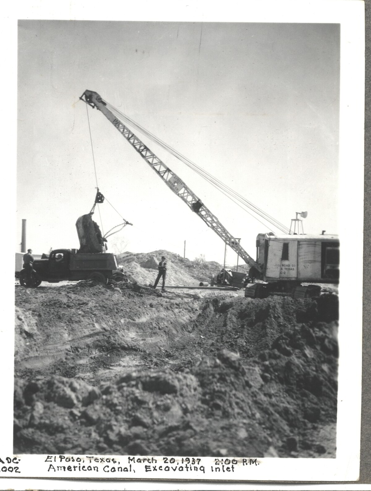
American Canal; Excavatina inlet; El Paso, Texas March 20, 1937 at 2:00 p.m.

Área: Central / Smeltertown

Fuente: IBWC

Cargado por: El Paso Museum of History

Comentarios

Hacer un comentario
Gracias por su comentario

Construction of American Dam, 1937

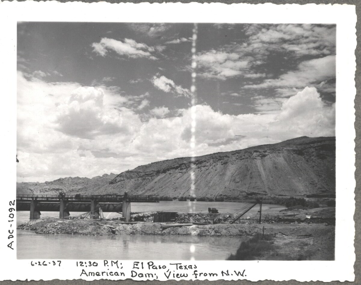
Note: 6-26-37, 12:30 pm, El Paso Texas. American Dam, View from N.W. For centuries the Rio Grande River has been used as a source of irrigation water for agriculture in the El Paso – Juarez area. In 1889 the governments of the United States and Mexico established the International Boundary Commission (IBC), in 1944 renamed the International Boundary and Water Commission (IBWC). One of its early actions was to discuss delivery of Rio Grande water to Mexico. In 1906, the two countries agreed to deliver 60,000 acre-feet of water annually to Mexico at the main irrigation Canal in Ciudad Juarez, known as Acequia Madre. The canal's mouth is two miles downstream from the international border. The remainder of the water would be used by American farmers in the ninety-mile-long El Paso valley. In times of drought both Mexican and American shares would be reduced on a percentage basis. The system did not provide a way for the United States to allot Mexico its rightful portion and keep the rest. As a result, Mexico took its share first and channeled the remainder into the Franklin Canal for the farms in the El Paso valley. According to some American estimates this permitted Mexico to siphon off up to three times its portion of irrigation water. Responding in 1935, Congress authorized two diversionary projects, the American Dam and the American Canal. The dam caught the water in New Mexico short of the international border, measured Mexico's share and allowed it to continue to the Acequia Madre, and diverted everything else into the American Canal, a two-mile feeder leading to the Franklin Canal. The American Canal parallels West Paisano Drive (US Highway 85) and the Burlington Northern Santa Fe Railroad track. The project has proved a successful solution to the problem of dividing the waters. Sources: http://www.tshaonline.org/handbook/online/articles/rua03 http://www.ibwc.gov/Files/EnvironmentalAssessment.pdf

Área: Central / Smeltertown

Fuente: IBWC

Cargado por: El Paso Museum of History

Comentarios

Hacer un comentario
Gracias por su comentario

American Canal, 1937

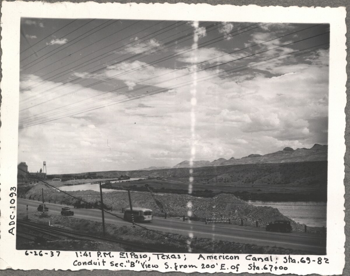
Note: 6-26-37, 1:41pm, El Paso, Texas; American Canal; sta. 69-82 Conduit sec. "B" View S. from 200' E. of Sta. 67+00 For centuries the Rio Grande River has been used as a source of irrigation water for agriculture in the El Paso – Juarez area. In 1889 the governments of the United States and Mexico established the International Boundary Commission (IBC), in 1944 renamed the International Boundary and Water Commission (IBWC). One of its early actions was to discuss delivery of Rio Grande water to Mexico. In 1906, the two countries agreed to deliver 60,000 acre-feet of water annually to Mexico at the main irrigation Canal in Ciudad Juarez, known as Acequia Madre. The canal's mouth is two miles downstream from the international border. The remainder of the water would be used by American farmers in the ninety-mile-long El Paso valley. In times of drought both Mexican and American shares would be reduced on a percentage basis. The system did not provide a way for the United States to allot Mexico its rightful portion and keep the rest. As a result, Mexico took its share first and channeled the remainder into the Franklin Canal for the farms in the El Paso valley. According to some American estimates this permitted Mexico to siphon off up to three times its portion of irrigation water. Responding in 1935, Congress authorized two diversionary projects, the American Dam and the American Canal. The dam caught the water in New Mexico short of the international border, measured Mexico's share and allowed it to continue to the Acequia Madre, and diverted everything else into the American Canal, a two-mile feeder leading to the Franklin Canal. The American Canal parallels West Paisano Drive (US Highway 85) and the Burlington Northern Santa Fe Railroad track. The project has proved a successful solution to the problem of dividing the waters. Sources: http://www.tshaonline.org/handbook/online/articles/rua03 http://www.ibwc.gov/Files/EnvironmentalAssessment.pdf

Área: Central / Smeltertown

Fuente: IBWC

Cargado por: El Paso Museum of History

Comentarios

Hacer un comentario
Gracias por su comentario

Reportar esta entrada

Elige la razón más importante para este reporte

Tu nombre

Tu correo electrónico

Detalle opcional

Gracias por su reporte

Más sobre la misma comunidad-colección

Bank of the West celebra 20 años

2010: Celebrating its 20th anniversary, Bank of the West now has ...

Bank of the West actualiza su logotipo

2011: Moving into its second decade, Bank of the West updates ...

Eclipse Lunar

Supermoon Lunar Eclipse over El Paso

Bank of the West celebra décimo aniversario

2000: Bank of the West celebrates its 10th anniversary. It has ...

Bank of the West nombrado Banco Comunitario de Mejor Rendimiento

2011: WestStar Bank Holding Co., Inc. (parent company of Bank of ...

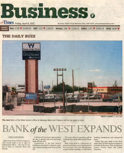
Bank of the West abre el noveno centro bancario

2011: With its newest location in Central El Paso, Bank of the ...

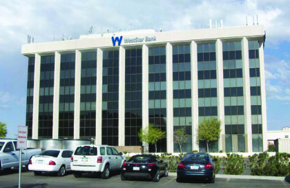
Bank of the West cambia de nombre a WestStar Bank

2012: Bank of the West changes its name to WestStar Bank. The ...

WestStar Bank nombrado 14a Banco Comunitario de Mejor Ejecución en los Estados Unidos

2013: WestStar Bank receives the ranking of 14th Best Performing ...

WestStar Bank nombrado entre los 10 bancos tamaño mediano de mayor rendimiento

2014: WestStar Bank is named 10th Top Performing Midsize Bank in ...

WestStar Bank se traslada a la zona de Vista Hills

2014: WestStar Bank’s Montwood/Yarbrough branch moves to its ...

WestStar Bank celebra su 25 aniversario

2015: WestStar Bank marks 25 years of success serving ...

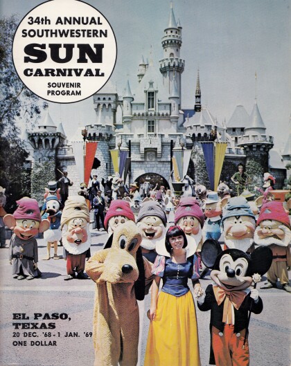
Recuerdo del programa del 34th Annual Sun Carnival

The back cover of the 1968-1969 Southwestern Sun Carnival ...

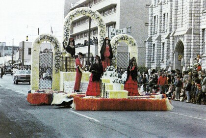
Carroza del desfile Sun Parade 1967

This 1967 Sun Parade float traveling on Montana St. was themed ...

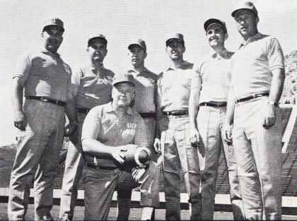
Cuerpo técnico de fútbol de UTEP 1967

Picture featured in the 1967 Southwestern Sun Carnival Program ...

Folleto Hijos del Sol 1968

1968 Sun Bowl brochure printed by The Sons of the Sun and the ...

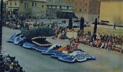
La flota "Pinocho" desfile Sun Parade 1969

1969 First place Sun Parade winner "Pinocchio" going through the ...

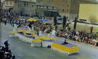
Flotas del desfile Sun Parade 1969

This 1969 "Carrousel" Float was the first to be brought by the ...

Portada de la 34a Annual Southwestern Sun Carnival Program

Since 1936, New Years in El Paso has been rung in by the Sun ...

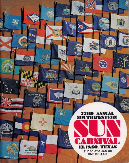
Portada de la 33a Annual Southwestern Sun Carnival Program

Since 1936, New Years in El Paso has been rung in by the Sun ...

Horizonte del centro de El Paso 1967

Panorama of colorful El Paso Downtown skyline with mountains of ...

1967-1968 Sun Carnaval dama de honor Myra Flory Daugherty

18 year old Myra Flory Daugherty was Lady-In-Waiting during the ...

Srta. Nancy Adrienne Gauvreau

Miss Nancy Adrienne Gauvreau, graduate of Burges High School, is ...
Srta. Martha Lee Gale

Miss Martha Lee Gale, daughter of Mr. and Mrs. Arthur L. Gale. ...

home.search_collection