Franklin Mountains State Park Tom Mays Unit
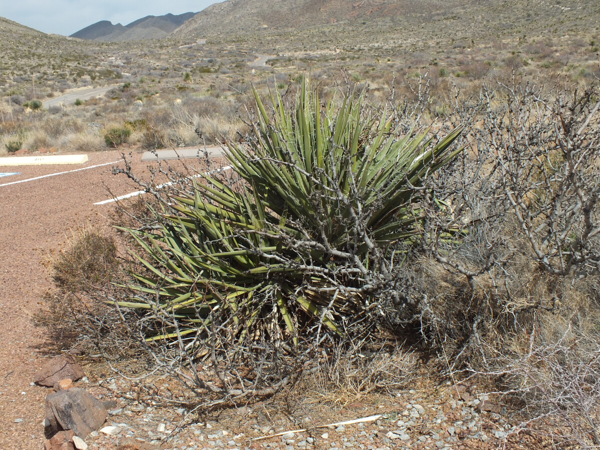
Franklin Mountains State Park Tom Mays Unit
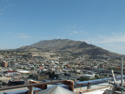
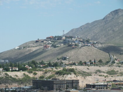
The Tom Mays Unit on the Westside of the Franklin Mountains is part of the Franklin Mountains State Park - the largest urban wilderness park in the continental United States. In the Tom Mays Unit (just off Transmountain Road), visitors have the possibility to hike, climb, camp, picknick, experience the plants and animals of the area and watch gorgeous sunsets.
Reportar esta entrada
Más sobre la misma comunidad-colección
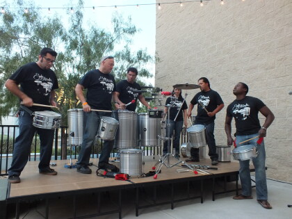
Hora Feliz Brasileña en el Museo de Historia de El Paso
The picture was taken at the Brazilian Happy Hour in the Museum ...
Hora Feliz Brasileña en el Museo de Historia de El Paso
The picture was taken at the Brazilian Happy Hour in the Museum ...
Hora Feliz Brasileña en el Museo de Historia de El Paso
The picture was taken at the Brazilian Happy Hour in the Museum ...
Hora Feliz Brasileña en el Museo de Historia de El Paso
The picture was taken at the Brazilian Happy Hour in the Museum ...
Hora Feliz Brasileña en el Museo de Historia de El Paso
The picture was taken at the Brazilian Happy Hour in the Museum ...
Hora Feliz Brasileña en el Museo de Historia de El Paso
The picture was taken at the Brazilian Happy Hour in the Museum ...
Hora Feliz Brasileña en el Museo de Historia de El Paso
The picture was taken at the Brazilian Happy Hour in the Museum ...
Hora Feliz Brasileña en el Museo de Historia de El Paso
The picture was taken at the Brazilian Happy Hour in the Museum ...
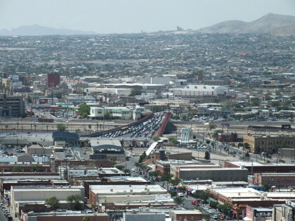
Puente de la calle Stanton - El Paso, Tejas
The Stanton Street Bridge, located at 1001 S. Stanton, was ...
Vista de las montañas Franklin y Preparatoria El Paso
The image shows the westside of the Franklin Mountains. It ...
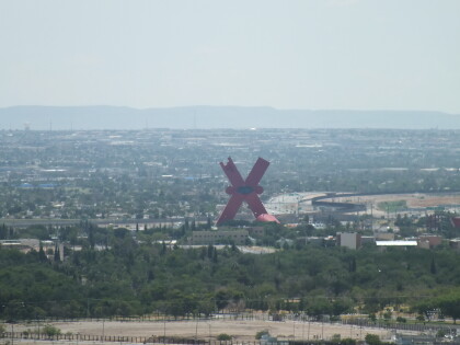
UTEP frente al Monte Cristo Rey
The image shows the University of Texas at El Paso in front of ...
