Harry Mitchell On A Fishing Trip
Hanrry Mitchell En Un Paseo de Pesca
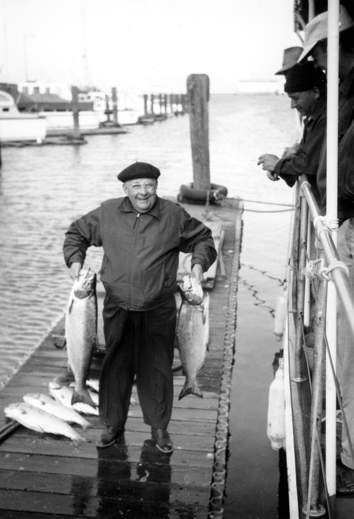
Hanrry Mitchell En Un Paseo de Pesca
Antes de la llegada de los ferrocarriles, la principal fuente de alcohol en El Paso era el vino. Los ferrocarriles trajeron cerveza - y botellas de cerveza . La sed de El Paso llegó a su límite en 1903, cuando un grupo de hombres de negocios abrió la Cervecería El Paso. Con el advenimiento de la prohibición de Texas en 1918, la fábrica de cerveza cerró. La compañía reorganizó y trasladó la fábrica de cerveza a través de la frontera, donde se convirtió en el Juárez Brewery. Con el regreso de la bebida en 1933, Harry Mitchell, el dueño de un bar y restaurante en Juárez, organizó una sociedad que construyó el Harry Mitchell Brewey en la fundación de la antigua fábrica de cerveza en El Paso. La firma vende al Falstaff Brewing Assoc. en 1956, pero Falstaff cerró la planta en 1967. El edificio actualmente alberga apartamentos, oficinas y estudios de arte.
Reportar esta entrada
Más sobre la misma comunidad-colección
Tte Rene A. Valenzuela, Cuerpo de Ingenieros del Ejército de los Estados Unidos
Photo of me on the southern shores of the Caspian Sea in ...
1LT René A. Valenzuela, Cuerpo de Ingenieros del Ejército de los Estados Unidos
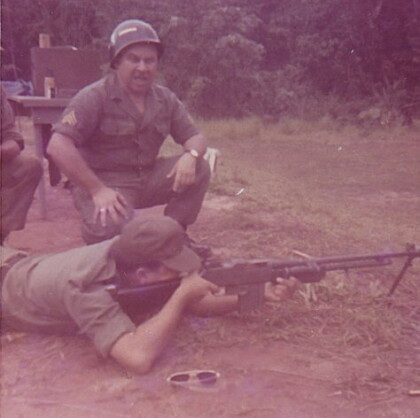
At the firing range in the jungles of Panama training for ...
1LT Rene A. Valenzuela, Cuerpo de Ingenieros del Ejército de los Estados Unidos
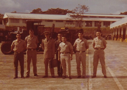
Department of Technical Operations, Engineer Instructional ...
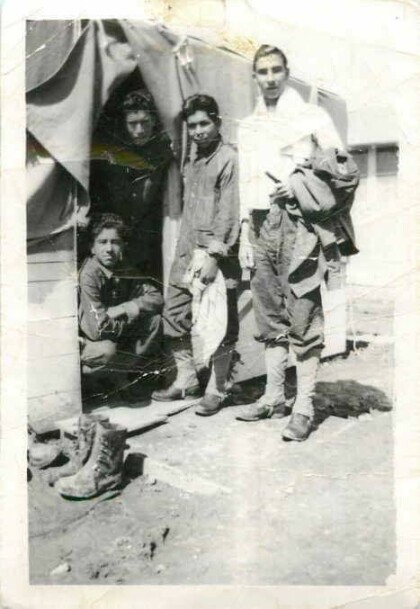
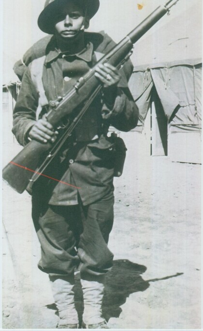
Apolonio Reyes - Compañía E - 1940
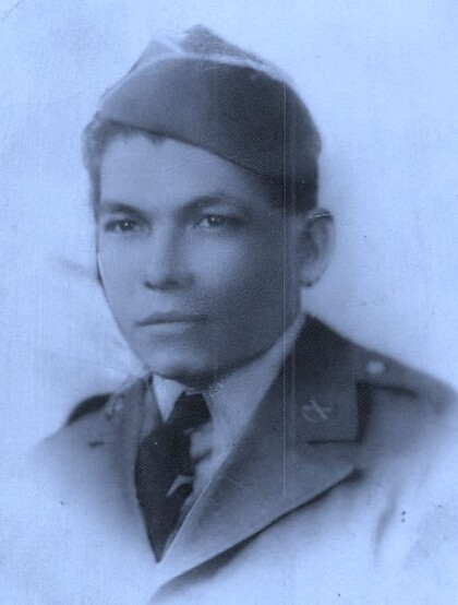
Reyes was a member of Rifle Company E, 141st U.S. Army Infantry, ...
Apolonio Reyes, Tony, Andrés y Juan Saucedo - 1940
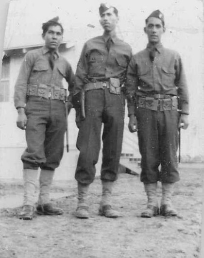
Apolonio Reyes (left) with Tony and Andres Saucedo - Company E. ...
Apolonio Reyes, Tony, Andrés y Juan Saucedo - 1940
Apolonio Reyes (standing middle) with Tony, Andres, and Juan ...
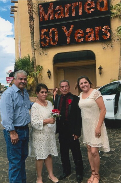
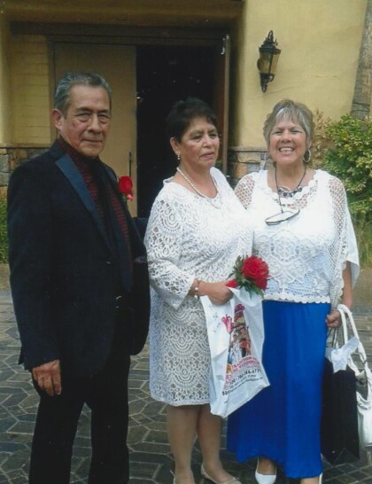
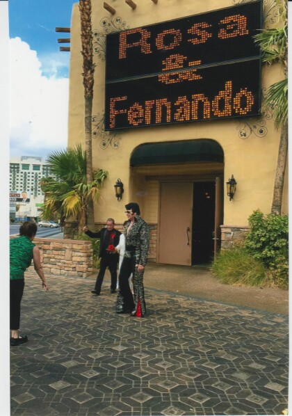
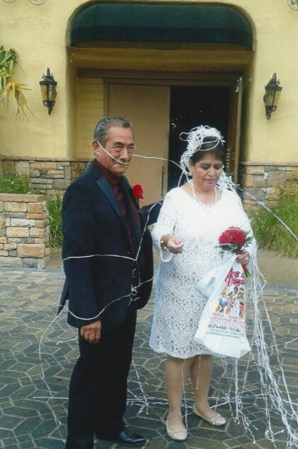
Fernando Villela y Rosa Villela - 50º Aniversario- 2017
Married 50 years -- Fernando Villela and Rosa Villela celebrate ...
Fernando Villela y Rosa Villela - 50º Aniversario- 2017
July 30, 2017 - Fernando Villela and Rosa Villela celebrate 50th ...
Fernando Villela y Rosa Villela - 50º Aniversario- 2017
July 30, 2017 - Fernando Villela and Rosa Villela celebrate 50th ...
Fernando Villela y Rosa Villela - 50º Aniversario- 2017
July 30, 2017 - Fernando Villela and Rosa Villela celebrate 50th ...
Fernando Villela y Rosa Villela - 50º Aniversario- 2017
July 30, 2017 - Fernando Villela and Rosa Villela celebrate 50th ...
Everett Thomas - El Paso, Texas
Everett Thomas - when he was in the navy. Digital Wall Curator ...
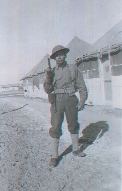
Cpl. Alfredo Lozano - Compañía E - 1940
Photograph was taken at Camp Bowie a United States National ...
Cpl. Alfredo Lozano - Compañía E - 1940
Photograph was taken at Camp Bowie a United States National ...
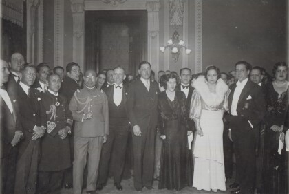
Recepción Diplomática Japonesa 1933
1933 Diplomats from Japan being received by Host Rafael Lara ...
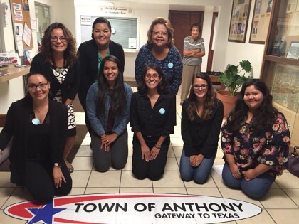
Anthony, TX Libre de Humo - 2017
Passing of a smoke-free ordinance in Anthony, Texas on Monday, ...

