Smelter Town
Smelter Town
Smelter Town

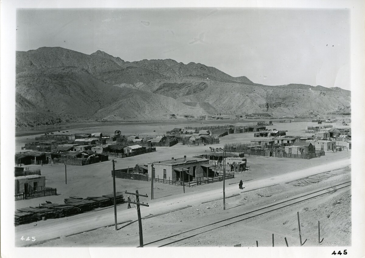
SMELTERTOWN, TEXAS. Smeltertown es una zona industrial en la autopista interestatal 10, la autopista U. S. 80, y los ferrocarriles del Pacífico Sur, Atchison, Topeka y Santa Fe, y la orilla este del Río Grande, justo al oeste del centro de El Paso en el oeste del Condado de El Paso. La comunidad surgió con la construcción en 1887 de la Kansas City Consolidated Smelting and Refining Company (más tarde la American Smelting and Refining Company, o ASARCOqv) fundición de cobre y plomo, por lo cual fue nombrada. En la década de 1880, los empleados mexicanos de la fundición empezaron a construir casas al oeste de la fundición, al lado del Río Grande. La Iglesia de San Rosalía, llamada así por la ciudad de Chihuahua de la que provienen la mayoría de los primeros feligreses, fue construida en 1891, y la Escuela E.B. Jones se estableció más tarde. La iglesia pasó a llamarse San José del Río Grande, pero se quemó en 1946 y fue reemplazada por la Iglesia de San José de Cristo Rey. En 1938 la población de Smeltertown se estimaba en 2,500 habitantes; al año siguiente se estableció una oficina de correos que cerró cuatro años después. En junio de 1945, el Herald-Post de El Paso llamó la atención sobre la pobreza en Smeltertown, que incluía un grupo de pequeñas viviendas de adobe con pisos de tierra y ventanas sin vidrio.

Área: Central / Smeltertown

Fuente: El Paso Public Library

Cargado por: El Paso Museum of History

Comentarios

Hacer un comentario
Gracias por su comentario

Reportar esta entrada

Elige la razón más importante para este reporte

Tu nombre

Tu correo electrónico

Detalle opcional

Gracias por su reporte

Más sobre la misma comunidad-colección

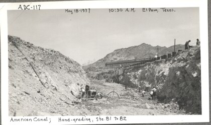
American Dam, 117

Hand-grading the American Canal

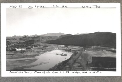
American Dam

American Dam - View of site from bridge. Photo taken on January ...

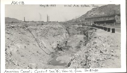
American Dam, 118

Conduit section "B" from north of Station 81 and 50 of the ...

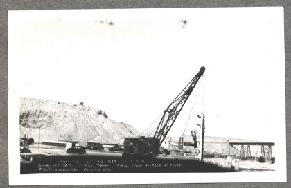
American Dam - P&H excavator driving pile

American Dam - View from middle of river, P&H excavator driving ...

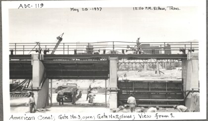
American Dam, 119

Looking from the south, gate number three is open, gate number ...

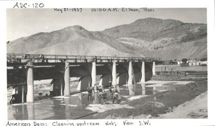
American Dam, 120

Cleaning the upstream slab of the American Canal (view from the ...

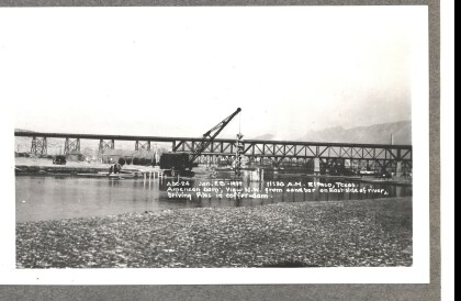
American Dam - Driving piles in coffer-dam

American Dam - View northwest from sandbar on eastside of river, ...

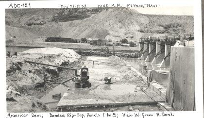
American Dam, 121

The bonded riprap used to reinforce panels one through eight of ...

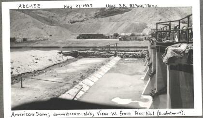
American Dam, 122

The downstream slab of the American Dam as seen from the east ...

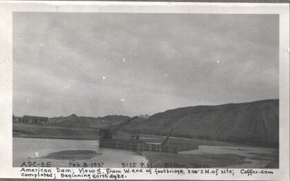
American Dam - Beginning earth dyke

American Dam - View south from west end of foot-bridge. ...

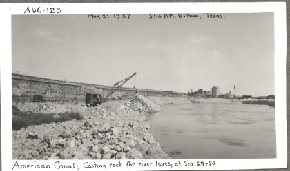
American Dam, 123

Casting rock for the river levee (at stations 69 and 50) of the ...

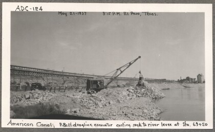
American Dam 124

The P & H dragline excavator casting rock to the river levee at ...

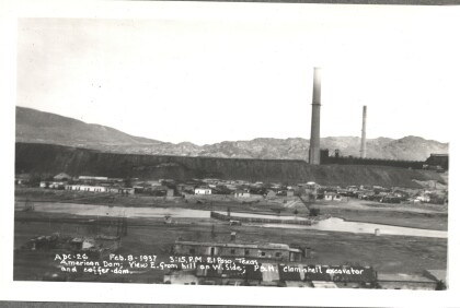
American Dam - P&H clam-shell excavator

American Dam - View east from hill on west side; P&H clam-shell ...

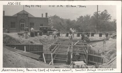
American Dam 125

Pouring the eastern half of the highway culvert of the American ...

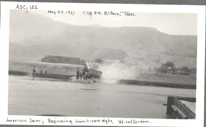
American Dam, 126

The beginning of the downstream dyke of the western cofferdam. A ...

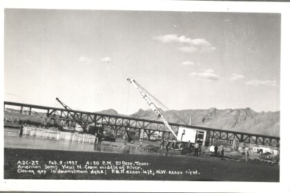
American Dam - Closing gap in downstream dyke

American Dam - View north from middle of river. Closing gap in ...
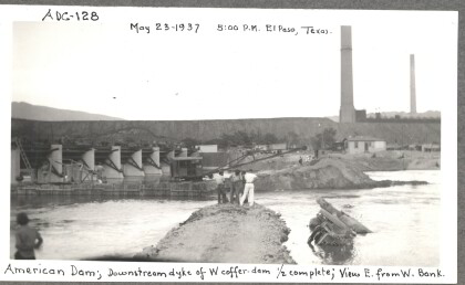
American Dam, 128

The downstream dyke of the western cofferdam (as seen from the ...

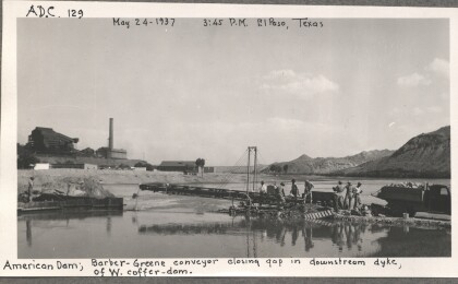
American Dam, 129

A Barber-Greene conveyor closes the gap in the downstream dyke ...

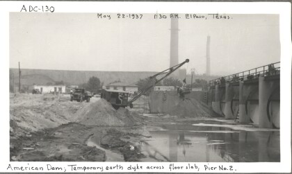
American Dam, 130

The temporary earth dyke across the floor slab near pier two of ...

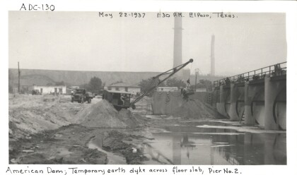
American Dam, 130 (a)

The temporary earth dyke across the floor slab near pier two of ...

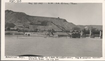
American Dam, 130 (b)

Raising the grade of the southern dyke of the western cofferdam ...

American Dam, 131

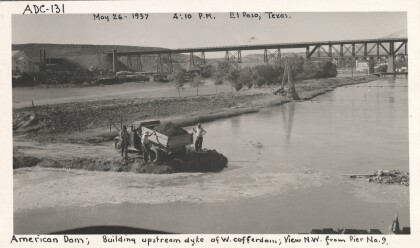
The view from the northwest (from pier nine) of men building the ...

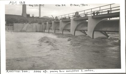
American Dam, 132

Over 4000 cubic square feet of water passing through the eastern ...

home.search_collection