1970 Map of El Paso, Texas
Mapa de El Paso en 1970 El Paso, Texas
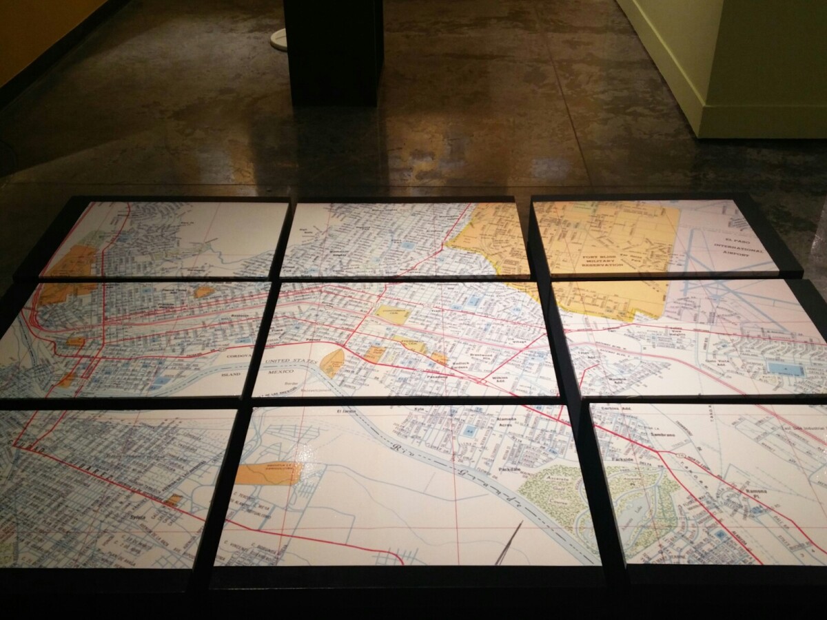
Mapa de El Paso en 1970 El Paso, Texas
Estos bloques constituyen un mapa de 1970 de la ciudad de El Paso. El mapa muestra las calles del ferrocarril. por los años 70 servicio de tren de pasajeros estaba a punto de cambiar a Amtrak.
Reportar esta entrada
Más sobre la misma comunidad-colección
Trailblazers Overnight Campout- July 2018
Paddle boat races at the Overnight Campout put on by the ...
El Paso Jewish Academy and Friends at the El Paso History Museum
It was so much fun to meet downtown and have a special tour of ...
Historical Downtown Ghost Tour (outside Scottish Rite)
Image from a historical ghost tour in Downtown El Paso. Tour ...
El Paso Community College District Established
The El Paso County Community College District was established ...
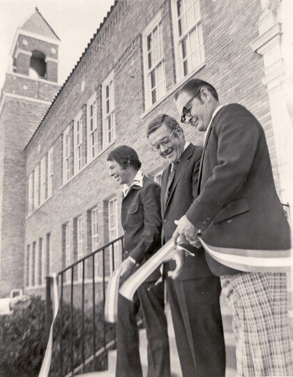
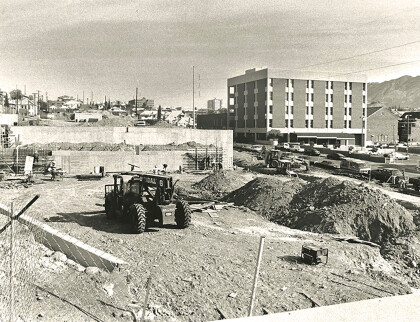
EPCC Rio Grande Campus Completed
The dedication and ribbon-cutting of the Rio Grande campus took ...
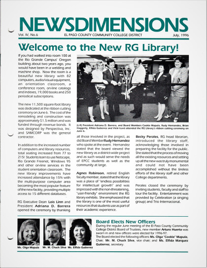
EPCC Rio Grande Learning Resource Center Completed circa 1996
The Learning Resource Center Addition at Rio Grande was ...
EPCC Rio Grande Health and Sciences Laboratory Building Opened
Paid for by revenue bonds at no cost to the taxpayer, the Health ...
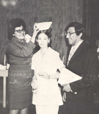
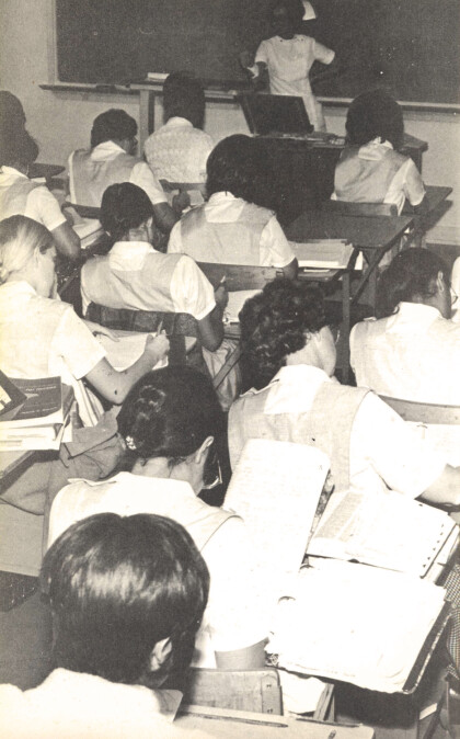
EPCC Health Program Receives HOPE Funding
In February, a grant from Project Hope supported the creation ...
EPCC Health Program Receives HOPE Funding
In February, a grant from Project Hope supported the creation ...
EPCC Health Program Receives HOPE Funding
In February, a grant from Project Hope supported the creation ...
