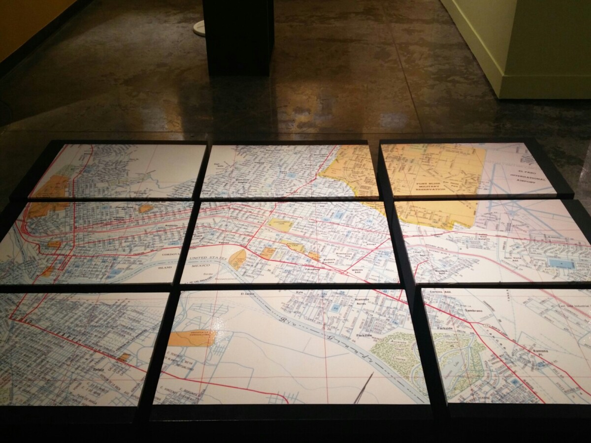
1970 Map of El Paso, Texas
Mapa de El Paso en 1970 El Paso, Texas

Mapa de El Paso en 1970 El Paso, Texas
Estos bloques constituyen un mapa de 1970 de la ciudad de El Paso. El mapa muestra las calles del ferrocarril. por los años 70 servicio de tren de pasajeros estaba a punto de cambiar a Amtrak.
Reportar esta entrada
Más sobre la misma comunidad-colección
Installation view, Early West Texas, EPMA.
Early West Texas: Waypoint and Home July 1 – November 3, 2018 ...
Installation view, Early West Texas, EPMA.
Early West Texas: Waypoint and Home July 1 – November 3, 2018 ...
Installation view, Early West Texas, EPMA.
Early West Texas: Waypoint and Home July 1 – November 3, 2018 ...
Installation view, The Empire of Texas, EPMA.
The Empire of Texas March 2 – June 24, 2018 Peter and ...
Installation view, The Empire of Texas, EPMA.
The Empire of Texas March 2 – June 24, 2018 Peter and ...
Installation view, The Empire of Texas, EPMA.
The Empire of Texas March 2 – June 24, 2018 Peter and ...
Installation view, The Empire of Texas, EPMA.
The Empire of Texas March 2 – June 24, 2018 Peter and ...
Installation view, Papel Chicano Dos, EPMA.
Papel Chicano Dos: Works on Paper from the Collection of Cheech ...


