1970 Map of El Paso, Texas
Mapa de El Paso en 1970 El Paso, Texas
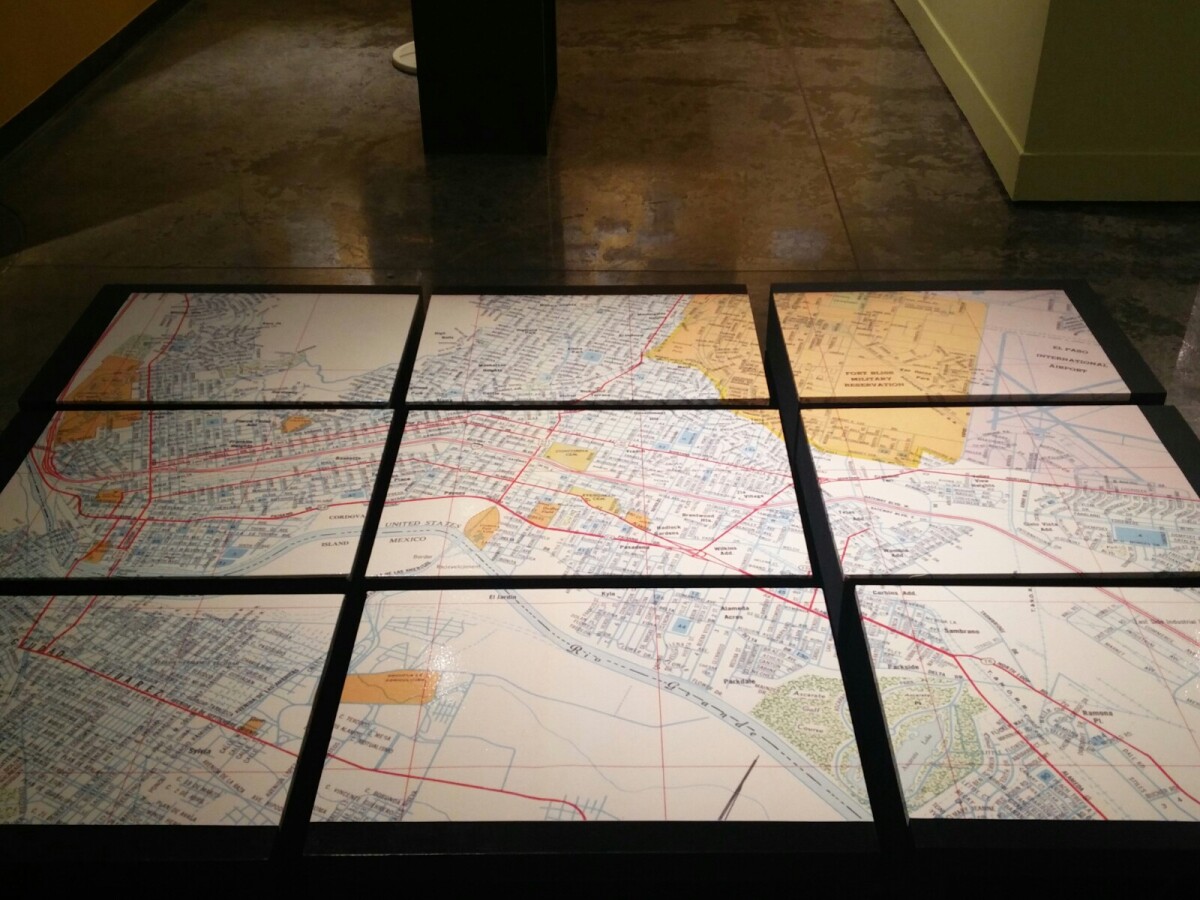
Mapa de El Paso en 1970 El Paso, Texas
Estos bloques constituyen un mapa de 1970 de la ciudad de El Paso. El mapa muestra las calles del ferrocarril. por los años 70 servicio de tren de pasajeros estaba a punto de cambiar a Amtrak.
Reportar esta entrada
Más sobre la misma comunidad-colección
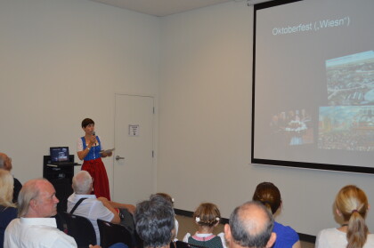
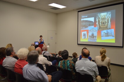
German History Happy Hour at EPMH
Two visitors are enjoying their food during the German History ...
German History Happy Hour at EPMH
The image captures the German History Happy Hour at the El Paso ...
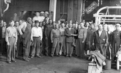
Eugene Ford Receiving Retirement - El Paso, Texas
The scene shows Leona Washington's father, Eugene Ford (in suit ...
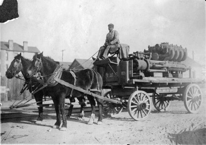
Carrying supplies from the Mine and Smelter Supply Company
This man on a horse-drawn wagon was carrying supplies from the ...
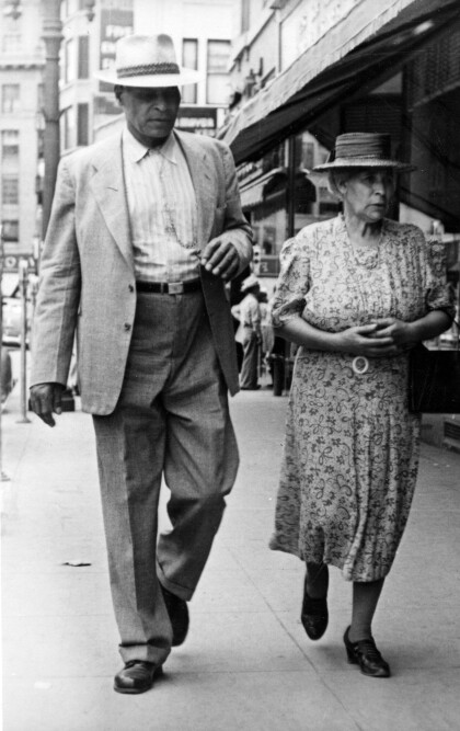
B.H. and Amelia Aldridge stroll downtown in 1941
B.H. and Amelia Aldridge stroll downtown in this 1941 ...
