1970 Map of El Paso, Texas
Mapa de El Paso en 1970 El Paso, Texas
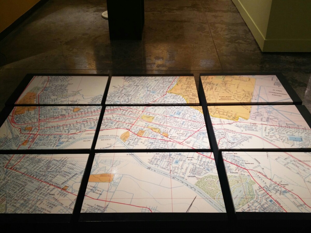
Mapa de El Paso en 1970 El Paso, Texas
Estos bloques constituyen un mapa de 1970 de la ciudad de El Paso. El mapa muestra las calles del ferrocarril. por los años 70 servicio de tren de pasajeros estaba a punto de cambiar a Amtrak.
Reportar esta entrada
Más sobre la misma comunidad-colección
A great time at the first day of the Chihuahuas for 2015
April 14,2015 Chihuahuas against Remo. Unfortunately, we lost ...
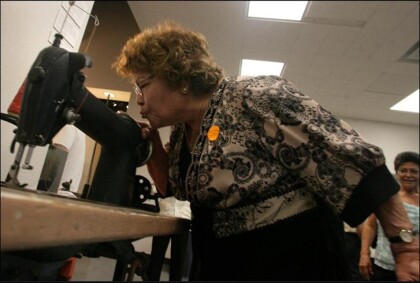
Teresa Aguirre, former Farah employee
Teresa Aguirre, 81, bends down to kiss the Singer 241-12 ...
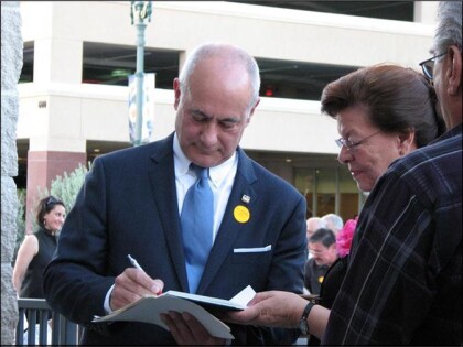
Jim Farah autographing the book about his father
Jim Farah autographing the book, " Willie Farah the ...
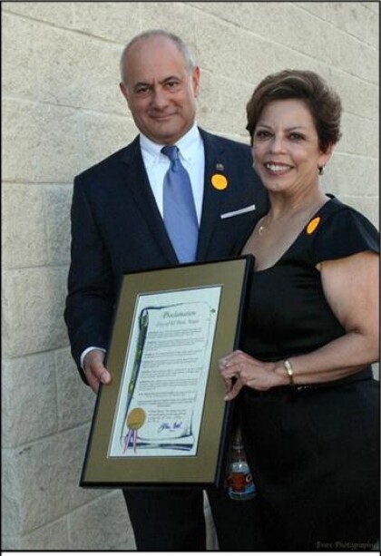
Jim Farah and City Representative Emma Acosta
Farah and City Representative Emma Acosta holding the City ...
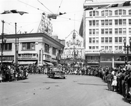
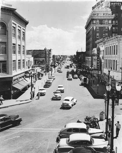
Calle El Paso en 1940s - El Paso, Tejas
The image shows El Paso Street in the 1940s. To the right, the ...
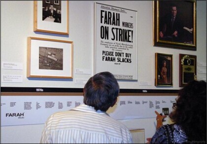
Looking at the Farah Manufacturing Timeline
Looking at the Farah Manufacturing Timeline: Inside of the ...
