Pictorial Map of El Paso, Texas and Juarez, Mexico
Mapa pictórico de El Paso, Texas y de Juarez, México
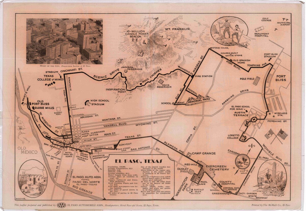
Mapa pictórico de El Paso, Texas y de Juarez, México
Guía pictórico de El Paso, Texas y Juarez, México para el turista (1925). Lugares de interés, avenidas principales, monumentos históricos, edificios municipales; y estadísticas de población, clima y detalles agrícolas son ilustrados.
Reportar esta entrada
Más sobre la misma comunidad-colección
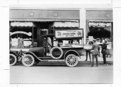
El Paso Electric Early Marketing Days
Sale of electric irons and ironing tables in 1940's for $7.65, ...
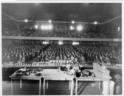
El Paso Electric Sponsored Safeway Cooking Classes
El Paso Electric Company sponsored Safeway cooking classes on ...
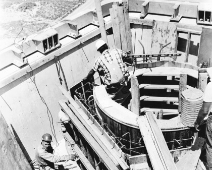
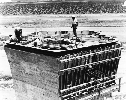
EPIA Control Tower Under Construction
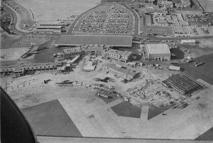
In 1968, El Paso International Airport opened the nation’s ...
Air Traffic Control Tower Under Construction c.1968
Air Traffic Control Tower Under Construction c.1968
Air Traffic Control Tower Under Construction c.1968
Air Traffic Control Tower Under Construction c.1968
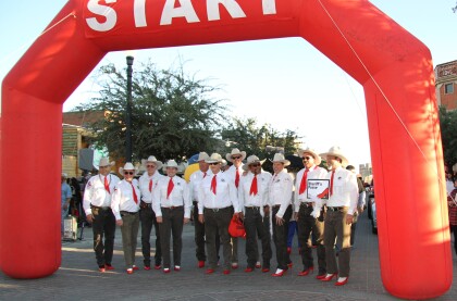
El Paso Sheriff's Posse and the 2014 Walk-A-Mile Event
The El Paso Sheriff's Posse men support the Walk-A-Mile In her ...
EPMH Volunteer and Staff giving out balloons
Lisa and Esther giving out balloons for the opening of Digie
