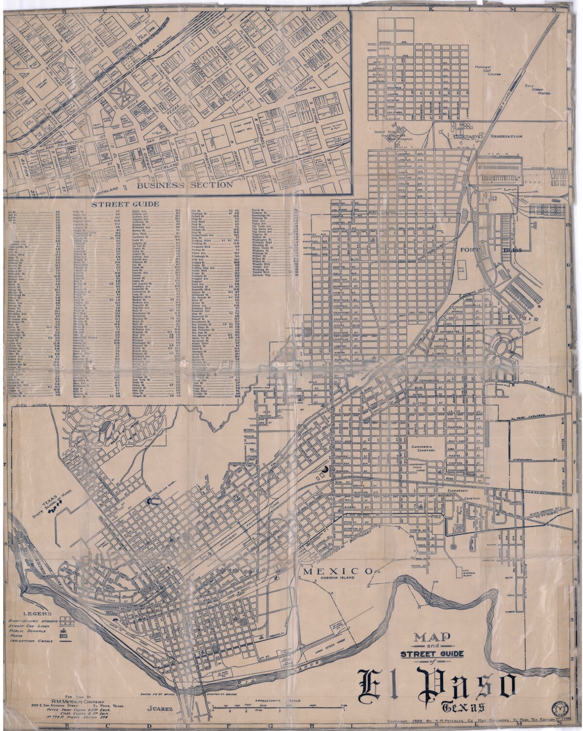
Map and Street Guide of El Paso, Texas circa 1925
Mapa y guía callejera de El Paso Texas
Mapa y guía callejera de El Paso Texas
Mapa de 1928 que incluye calles, ubicación de escuelas, parques, acequias, puentes internacionales, la isla de Córdova y la reserva militar Ft. Bliss.
Reportar esta entrada
Más sobre la misma comunidad-colección
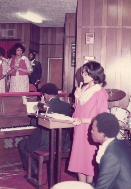
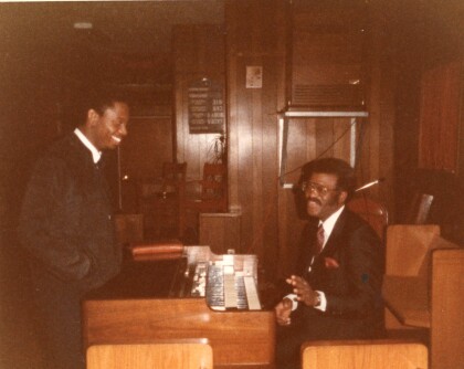
Singer and Piano Player at a Church
A singer and piano player, as well as other members of a church. ...
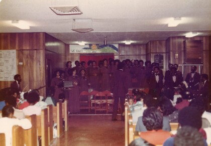
Congregation at Presumed Bethlehem Temple Church
Congregation at what is presumed to be Bethlehem Temple Church. ...
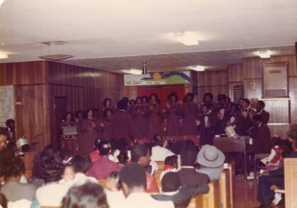
Congregation at Presumed Bethlehem Temple Church
Congregation at what is presumed to be Bethlehem Temple Church. ...
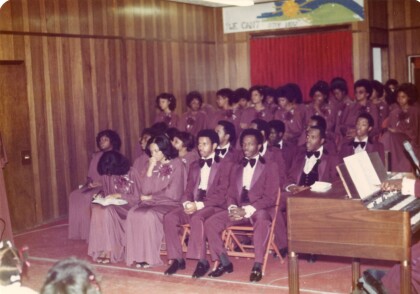
Congregation at Presumed Bethlehem Temple Church
Congregation at what is presumed to be Bethlehem Temple Church. ...
Children Congregated at Presumed Bethlehem Temple Church
Children's congregation at what is presumed to be Bethlehem ...
Congregation at Presumed Bethlehem Temple Church
Congregation at what is presumed to be Bethlehem Temple Church. ...
Members of Presumed Bethlehem Temple Church
Faithful service as musician, choir director, Sunday school ...
Brief History of The Links, Incorporated - 1946
El Paso (TX) Chapter, The Links, Incorporated. Brief History of ...
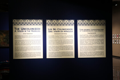
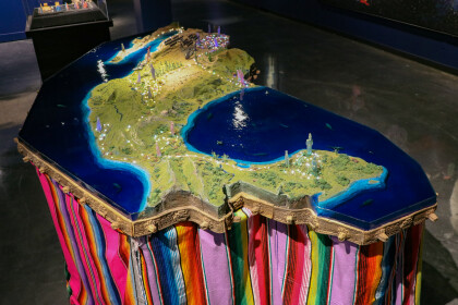
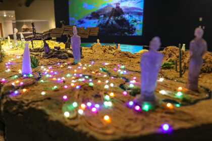
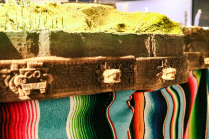
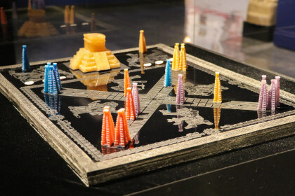
The Uncolonized: A Vision in the Parallel Virtual Exhibition
Created by local artist Angel Cabrales, “The Uncolonized” is ...
The Uncolonized: A Vision in the Parallel Virtual Exhibition
Created by local artist Angel Cabrales, “The Uncolonized” is ...
The Uncolonized: A Vision in the Parallel Virtual Exhibition
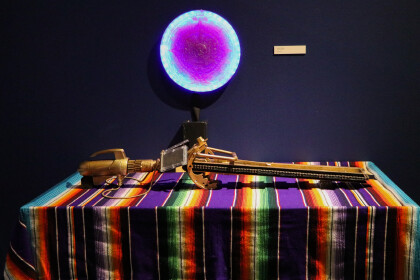
Angel Cabrales
Macuahuitl (Sedimentary ...
The Uncolonized: A Vision in the Parallel Virtual Exhibition
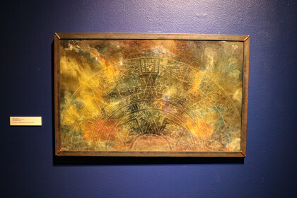
Angel Cabrales
Xiuhpōhualli Anomala , ...
The Uncolonized: A Vision in the Parallel Virtual Exhibition
Angel Cabrales
Teoquiyaoatl (Sacred ...
The Uncolonized: A Vision in the Parallel Virtual Exhibition
Angel Cabrales
Apoteosis del Olmequemista, ...
The Uncolonized: A Vision in the Parallel Virtual Exhibition
Angel Cabrales
Apoteosis del Aztecnonauta, ...
The Uncolonized: A Vision in the Parallel Virtual Exhibition
Angel Cabrales
Codex of the Interplanetary ...
The Uncolonized: A Vision in the Parallel Virtual Exhibition
Angel Cabrales
Center
Textile del la ...
The Uncolonized: A Vision in the Parallel Virtual Exhibition
Angel Cabrales
Naciones Unidas de Anáhuac, ...
The Uncolonized: A Vision in the Parallel Virtual Exhibition
Angel Cabrales
Naciones Unidas de Anáhuac ...
The Uncolonized: A Vision in the Parallel Virtual Exhibition
Angel Cabrales
Naciones Unidas de Anáhuac ...
The Uncolonized: A Vision in the Parallel Virtual Exhibition
Angel Cabrales
La Piñata Cosmica, 2019
...
