Official Map of El Paso, Texas
Mapa official de El Paso, Texas
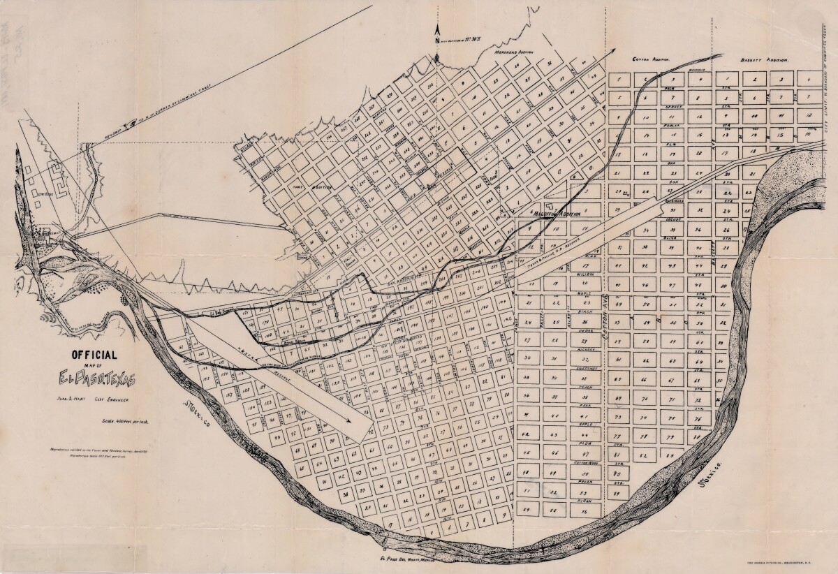
Mapa official de El Paso, Texas
Mapa que cubre los años 1881-1911, indica calles, bloques, añadiduras y líneas de reserva de ferrocarriles.
Reportar esta entrada
Más sobre la misma comunidad-colección
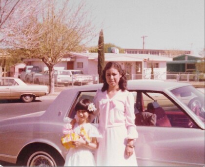
Two girls standing in front of car
Two girls in formal wear posing for picture in front of a car, ...
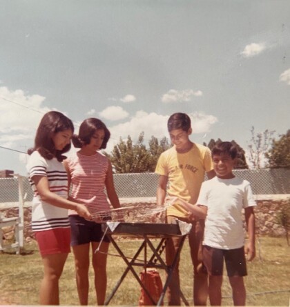
Four people standing around a grill
Photograph of two girls and two boys standing around a grill, ...
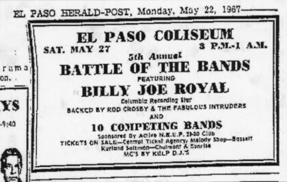
1967 El Paso Battle of the Bands Advertisement
A May 22, 1967 El Paso Herald Post newspaper clipping ...
Out-O-School Rock 'N Roll Dance Announcement, 1960
A May 27, 1960 article announcing an Out-O-School Rock 'N Roll ...
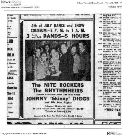
4th of July Dance and Show Advertisement, 1959
A July 2, 1959 El Paso Times announcement for a 4th of July ...
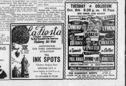
"The Biggest Show of Stars of '57" Coliseum Advertisement, 1957
A September 29, 1957 El Paso Times advertisement for "The ...
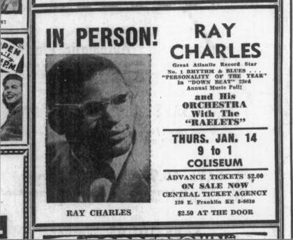
Ray Charles Live at the El Paso County Coliseum, 1960
A January 14, 1960 El Paso Times clipping advertising a Ray ...
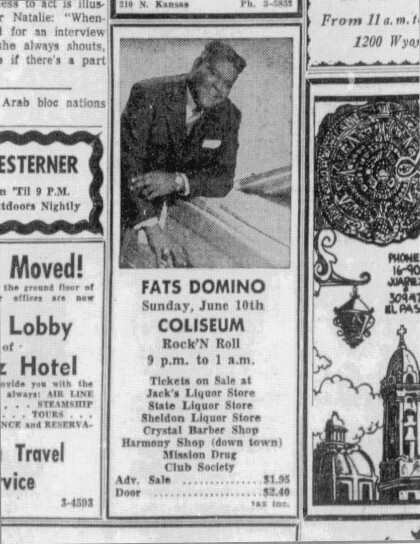
Fats Domino Live at El Paso County Coliseum, 1956
A June 10, 1956 El Paso Times advertisement for a Fats Domino ...
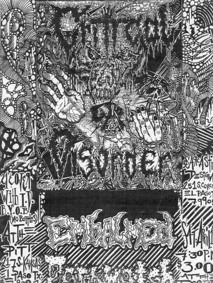
90s Metal Show Poster Advertising Two Shows
90s band poster advertising a metal band show at The Pitt on 217 ...
