Map of the Rio Grande El Paso-Juarez Valley circa 1930
Mapa del Río Grande, el Valle El Paso-Juarez

Mapa del Río Grande, el Valle El Paso-Juarez
Mapa de 1924-1930 ilustra el curso del rio, la ubicación de la presa internacional, y claramente identifica el Arroyo del Álamo, Arroyo Diablo y Fort Quitman.
Reportar esta entrada
Más sobre la misma comunidad-colección
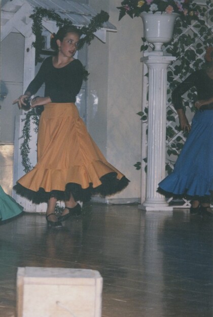
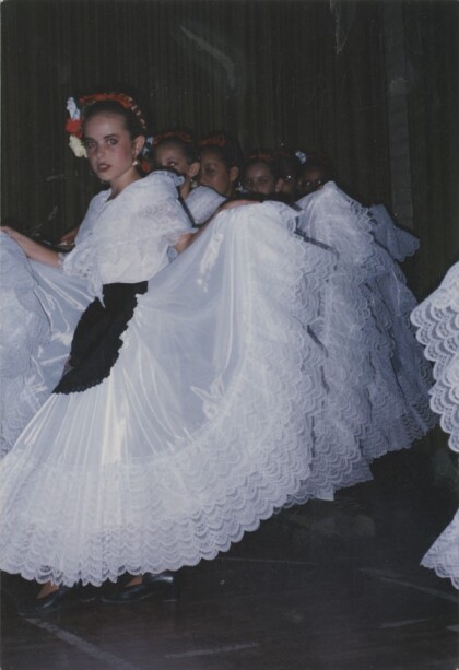
Folklorico Dance Recital with Castanets
Toni Marie Jones Gymnasio Dublan, Chihuahua, Mexico, June, 1998
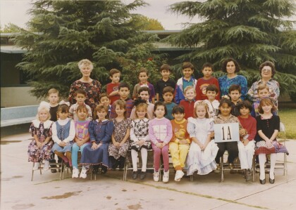
First Grade Class Picture Escuela Manuel, Colonia Dublan
First Grade Class Picture, Escuela Manuel, Colonia Dublan, ...
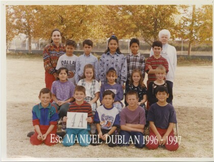
Fourth Grade Class Picture, Escuela Manuel, Colonia Dublan
Fourth Grade Class Picture Escuela Manuel, Colonia Dublan, ...
Kindergarten Class Picture, Escuela Manuel, Colonia Dublan
Kindergarten Class Picture, Kindergarten Classroom, Escuela ...
Third Grade School Picture, Escuela Manuel, Colonia Dublan
Third Grade School Picture, Escuela Manuel, Colonia Dublank, ...
Third Grade Class Picture, Escuela Manuel, Colonia Dublan
Third Grade Class Picture, Escuela Manuel, Colonia Dublan, ...
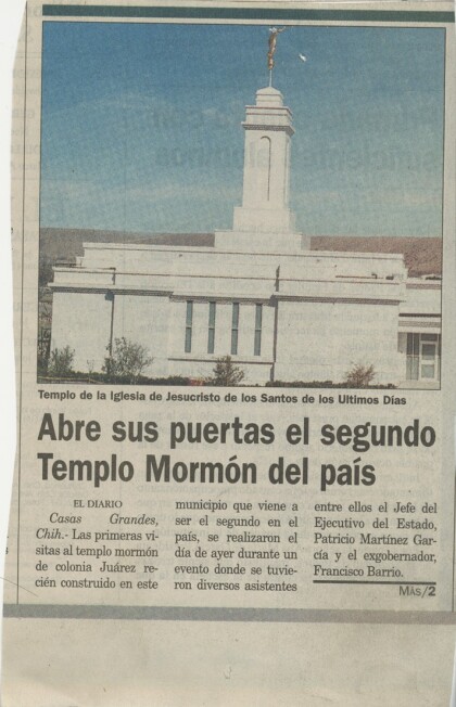
Article about the Colonia Juarez Temple
Article about the Colonia Juarez Temple, Nuevo Casas Grandes, ...
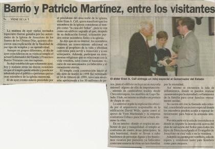
Continuation of Article about the Colonia Juarez Temple
Continuation of Article about the Colonia Juarez Temple, Nuevo ...
JLEP- Provisional Project 2020-2021
The Junior League of El Paso, Inc. (JLEP)’s Provisional Class ...
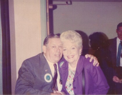
Felix Antone Jr. of El Paso meets Governor Ann Richards, 1989
Felix Antone Jr. of El Paso meets Governor Ann Richards, 1989
