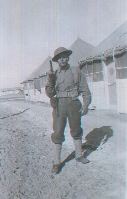
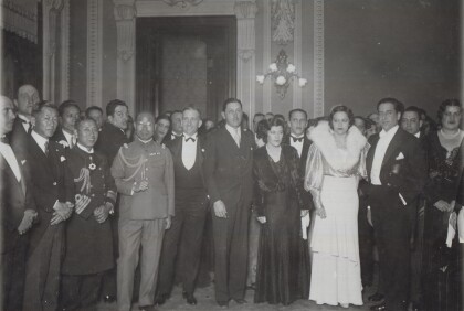
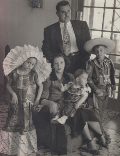
Photograph from the 1920 Peace and Progress Excursion
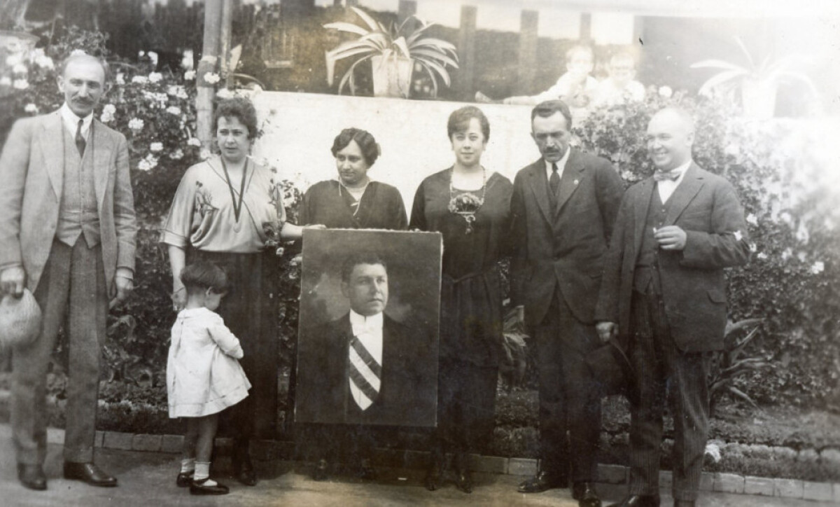
Photograph from the 1920 Peace and Progress Excursion
Peace and Progress Excursion to Mexico City, photo album (excerpt) 1920 59-341-1 In 1909, the Southern Pacific Railroad of Mexico was integrated into the greater Pacific Railroad in the United States. Railway operations increased travel from Mazatlán, Sinaloa in Southern Mexico to Nogales, Sonora in Northern Mexico, connecting with the Sunset Route in southwest United States directly into Arizona. This allowed railway travel to transcend borders causing a greater influx of people, goods, and commerce between the U.S. and Mexico. Making use of the newly connected railways, Mexican President Álvaro Obregón visited El Paso the first week of October in 1920 on his way to the International Fair in Dallas, Texas. He expressed his aspirations for international friendship and diplomatic relations between the two countries. As a result of Obregon’s visit the “Paz y Progreso” or “Peace and Progress” Excursions were commissioned by the Confederation of Chamber of Commerce. On October 10, 1920, the El Paso Chamber of Commerce set out for Mexico City by train. The trip entailed visiting a number of smaller towns on the way to Mexico City, such as Zacatecas and Aguascalientes. In January of 1921, the San Francisco Chamber of Commerce Peace and Progress Excursion traveled through California to Mexico by train to meet with President Álvaro Obregón. The Southern Pacific Railroad of Mexico was eventually sold to the Mexican government in 1951. The railroad boom of the 19th century ushered in a new and tranformative era for transportation, technology, and economy in America—one that swept the Paso del Norte region along with it. As the railroad industry flourished, El Paso began cultivating a unique economy and culture, one heavily influenced by its location along the border and the route between four major cities (Mexico City, Santa Fe, Los Angeles, and San Antonio). True to its name, El Paso became a gateway for the Southern half of the United States. In Tracks Across the Desert, we explore the people, groups, and railroad giants that shaped El Paso into the city it is today. This exhibit is generously funded by Union Pacific.
Reportar esta entrada
Más sobre la misma comunidad-colección
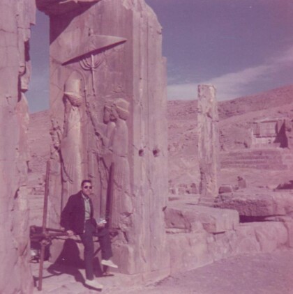
Tte Rene A. Valenzuela, Cuerpo de Ingenieros del Ejército de los Estados Unidos
Photo of me on the southern shores of the Caspian Sea in ...
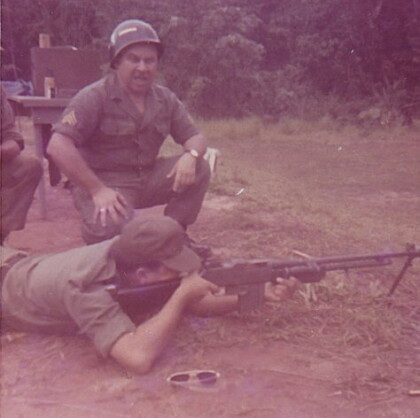
1LT René A. Valenzuela, Cuerpo de Ingenieros del Ejército de los Estados Unidos
At the firing range in the jungles of Panama training for ...
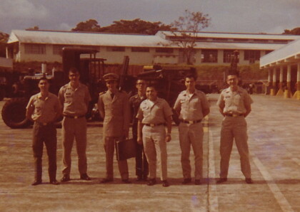
1LT Rene A. Valenzuela, Cuerpo de Ingenieros del Ejército de los Estados Unidos
Department of Technical Operations, Engineer Instructional ...
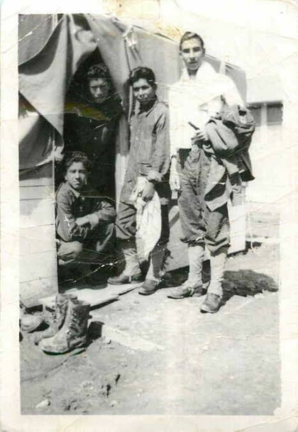
Apolonio Reyes - Compañía E - 1940
Reyes was a member of Rifle Company E, 141st U.S. Army Infantry, ...
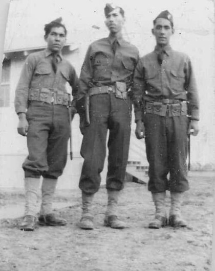
Apolonio Reyes, Tony, Andrés y Juan Saucedo - 1940
Apolonio Reyes (left) with Tony and Andres Saucedo - Company E. ...
Apolonio Reyes, Tony, Andrés y Juan Saucedo - 1940
Apolonio Reyes (standing middle) with Tony, Andres, and Juan ...
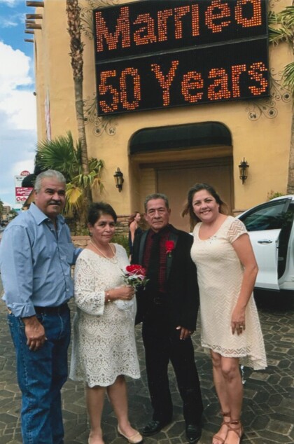
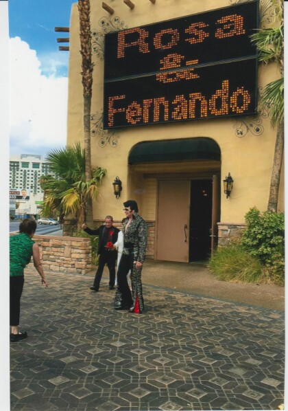
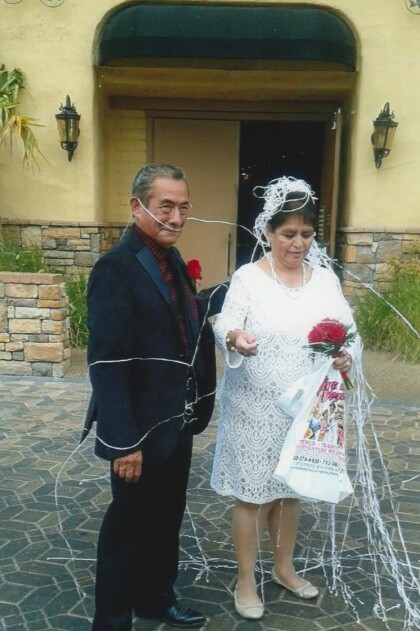
Fernando Villela y Rosa Villela - 50º Aniversario- 2017
Married 50 years -- Fernando Villela and Rosa Villela celebrate ...
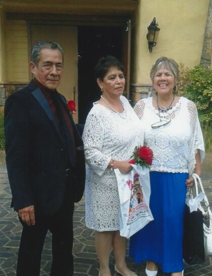
Fernando Villela y Rosa Villela - 50º Aniversario- 2017
July 30, 2017 - Fernando Villela and Rosa Villela celebrate 50th ...
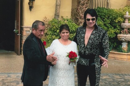
Fernando Villela y Rosa Villela - 50º Aniversario- 2017
July 30, 2017 - Fernando Villela and Rosa Villela celebrate 50th ...
Fernando Villela y Rosa Villela - 50º Aniversario- 2017
July 30, 2017 - Fernando Villela and Rosa Villela celebrate 50th ...
Fernando Villela y Rosa Villela - 50º Aniversario- 2017
July 30, 2017 - Fernando Villela and Rosa Villela celebrate 50th ...
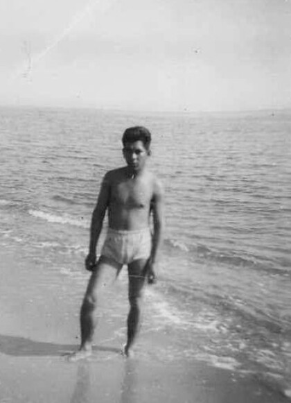
Everett Thomas - El Paso, Texas
Everett Thomas - when he was in the navy. Digital Wall Curator ...
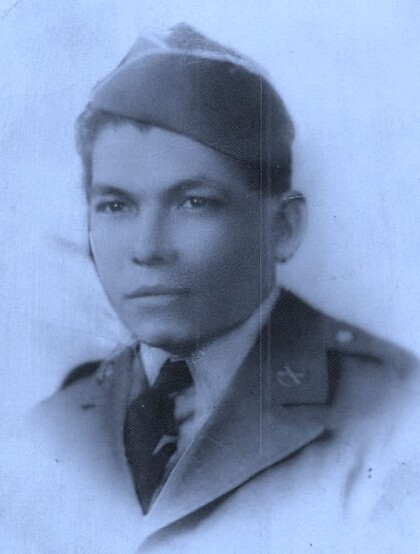
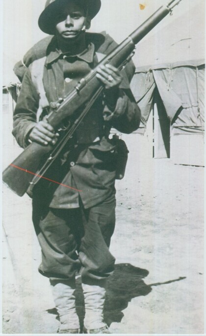
Cpl. Alfredo Lozano - Compañía E - 1940
Photograph was taken at Camp Bowie a United States National ...
Cpl. Alfredo Lozano - Compañía E - 1940
Photograph was taken at Camp Bowie a United States National ...
Recepción Diplomática Japonesa 1933
1933 Diplomats from Japan being received by Host Rafael Lara ...
