IBWC VIII

IBWC VIII

IBWC VIII

IBWC VIII

IBWC VIII

IBWC VIII

IBWC VIII

IBWC VIII

IBWC VIII

IBWC VIII

IBWC VIII

IBWC VIII

IBWC VIII

IBWC VIII

IBWC VIII

IBWC VIII

IBWC VIII

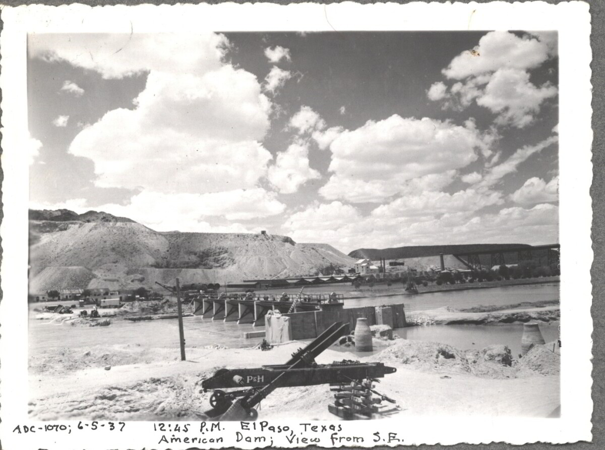
American Dam 1937

Note: 6-5-37, 12:45 pm, El Paso, Texas. American Dam; View from S.E. For centuries the Rio Grande River has been used as a source of irrigation water for agriculture in the El Paso – Juarez area. In 1889 the governments of the United States and Mexico established the International Boundary Commission (IBC), in 1944 renamed the International Boundary and Water Commission (IBWC). One of its early actions was to discuss delivery of Rio Grande water to Mexico. In 1906, the two countries agreed to deliver 60,000 acre-feet of water annually to Mexico at the main irrigation Canal in Ciudad Juarez, known as Acequia Madre. The canal's mouth is two miles downstream from the international border. The remainder of the water would be used by American farmers in the ninety-mile-long El Paso valley. In times of drought both Mexican and American shares would be reduced on a percentage basis. The system did not provide a way for the United States to allot Mexico its rightful portion and keep the rest. As a result, Mexico took its share first and channeled the remainder into the Franklin Canal for the farms in the El Paso valley. According to some American estimates this permitted Mexico to siphon off up to three times its portion of irrigation water. Responding in 1935, Congress authorized two diversionary projects, the American Dam and the American Canal. The dam caught the water in New Mexico short of the international border, measured Mexico's share and allowed it to continue to the Acequia Madre, and diverted everything else into the American Canal, a two-mile feeder leading to the Franklin Canal. The American Canal parallels West Paisano Drive (US Highway 85) and the Burlington Northern Santa Fe Railroad track. The project has proved a successful solution to the problem of dividing the waters. Sources: http://www.tshaonline.org/handbook/online/articles/rua03 http://www.ibwc.gov/Files/EnvironmentalAssessment.pdf

Area: Central / Smeltertown

Source: IBWC

Uploaded by: El Paso Museum of History

Comments

Add a comment
Thank you for your comment

American Dam 1937

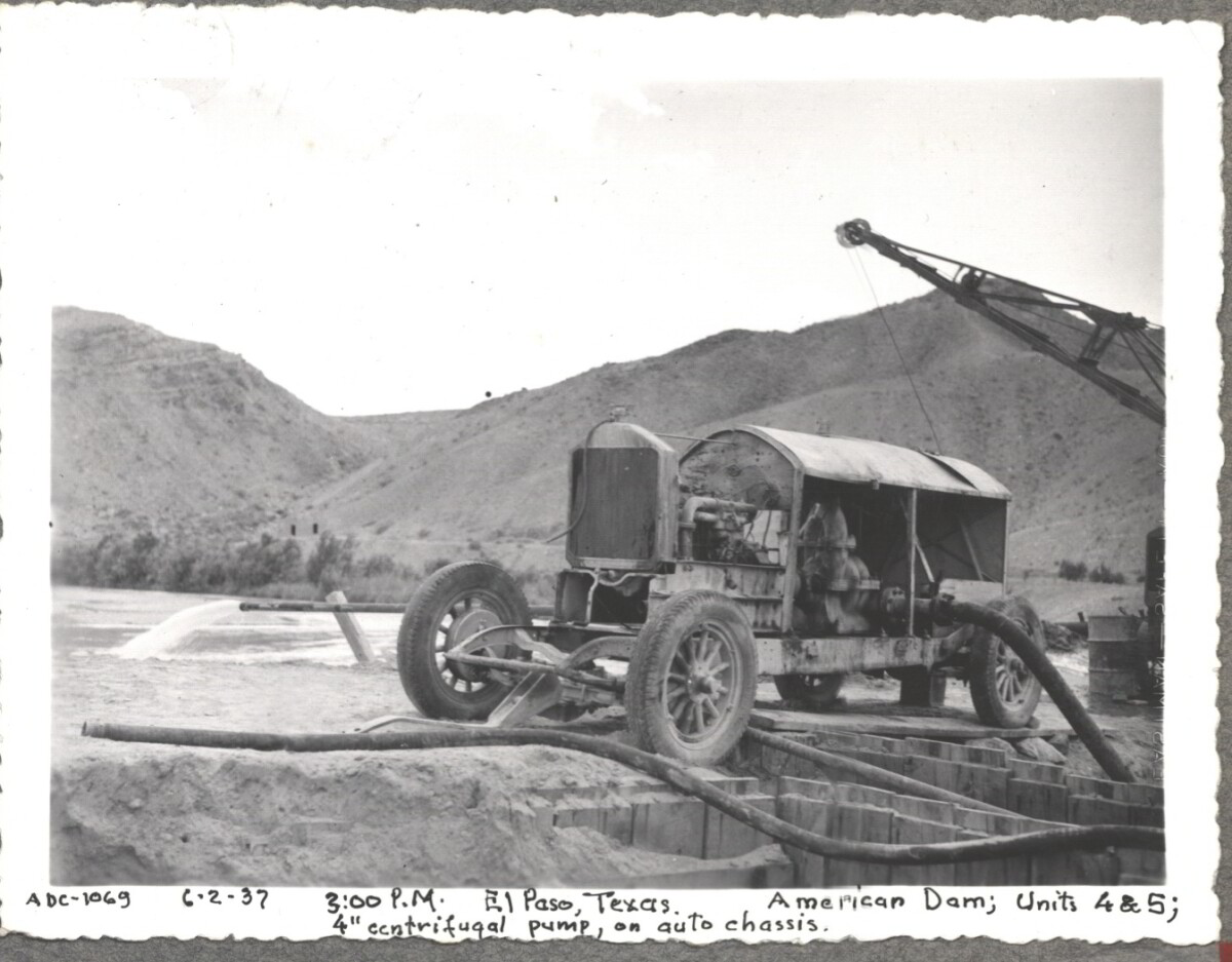
Note: 6-2-37, 3:00pm. El Paso, Texas American Dam; units 4&5; 4" centrifugal pump, on auto chassis. For centuries the Rio Grande River has been used as a source of irrigation water for agriculture in the El Paso – Juarez area. In 1889 the governments of the United States and Mexico established the International Boundary Commission (IBC), in 1944 renamed the International Boundary and Water Commission (IBWC). One of its early actions was to discuss delivery of Rio Grande water to Mexico. In 1906, the two countries agreed to deliver 60,000 acre-feet of water annually to Mexico at the main irrigation Canal in Ciudad Juarez, known as Acequia Madre. The canal's mouth is two miles downstream from the international border. The remainder of the water would be used by American farmers in the ninety-mile-long El Paso valley. In times of drought both Mexican and American shares would be reduced on a percentage basis. The system did not provide a way for the United States to allot Mexico its rightful portion and keep the rest. As a result, Mexico took its share first and channeled the remainder into the Franklin Canal for the farms in the El Paso valley. According to some American estimates this permitted Mexico to siphon off up to three times its portion of irrigation water. Responding in 1935, Congress authorized two diversionary projects, the American Dam and the American Canal. The dam caught the water in New Mexico short of the international border, measured Mexico's share and allowed it to continue to the Acequia Madre, and diverted everything else into the American Canal, a two-mile feeder leading to the Franklin Canal. The American Canal parallels West Paisano Drive (US Highway 85) and the Burlington Northern Santa Fe Railroad track. The project has proved a successful solution to the problem of dividing the waters. Sources: http://www.tshaonline.org/handbook/online/articles/rua03 http://www.ibwc.gov/Files/EnvironmentalAssessment.pdf

Area: Central / Smeltertown

Source: IBWC

Uploaded by: El Paso Museum of History

Comments

Add a comment
Thank you for your comment

American Dam 1937

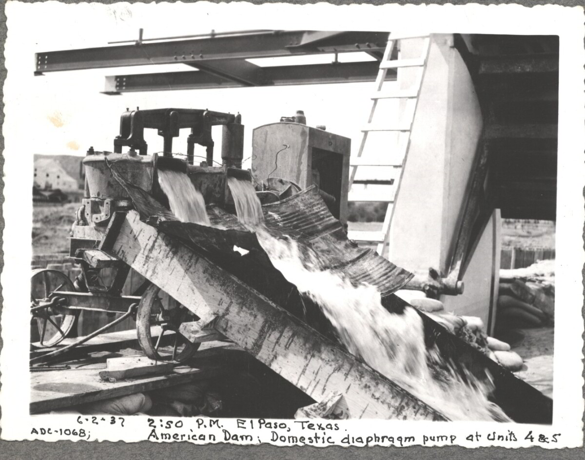
6-2-37, 2:50pm, El Paso, Texas. American Dam; Domestic diaphraqm pump at units 4&5 For centuries the Rio Grande River has been used as a source of irrigation water for agriculture in the El Paso – Juarez area. In 1889 the governments of the United States and Mexico established the International Boundary Commission (IBC), in 1944 renamed the International Boundary and Water Commission (IBWC). One of its early actions was to discuss delivery of Rio Grande water to Mexico. In 1906, the two countries agreed to deliver 60,000 acre-feet of water annually to Mexico at the main irrigation Canal in Ciudad Juarez, known as Acequia Madre. The canal's mouth is two miles downstream from the international border. The remainder of the water would be used by American farmers in the ninety-mile-long El Paso valley. In times of drought both Mexican and American shares would be reduced on a percentage basis. The system did not provide a way for the United States to allot Mexico its rightful portion and keep the rest. As a result, Mexico took its share first and channeled the remainder into the Franklin Canal for the farms in the El Paso valley. According to some American estimates this permitted Mexico to siphon off up to three times its portion of irrigation water. Responding in 1935, Congress authorized two diversionary projects, the American Dam and the American Canal. The dam caught the water in New Mexico short of the international border, measured Mexico's share and allowed it to continue to the Acequia Madre, and diverted everything else into the American Canal, a two-mile feeder leading to the Franklin Canal. The American Canal parallels West Paisano Drive (US Highway 85) and the Burlington Northern Santa Fe Railroad track. The project has proved a successful solution to the problem of dividing the waters. Sources: http://www.tshaonline.org/handbook/online/articles/rua03 http://www.ibwc.gov/Files/EnvironmentalAssessment.pdf

Area: Central / Smeltertown

Source: IBWC

Uploaded by: El Paso Museum of History

Comments

Add a comment
Thank you for your comment

American Canal

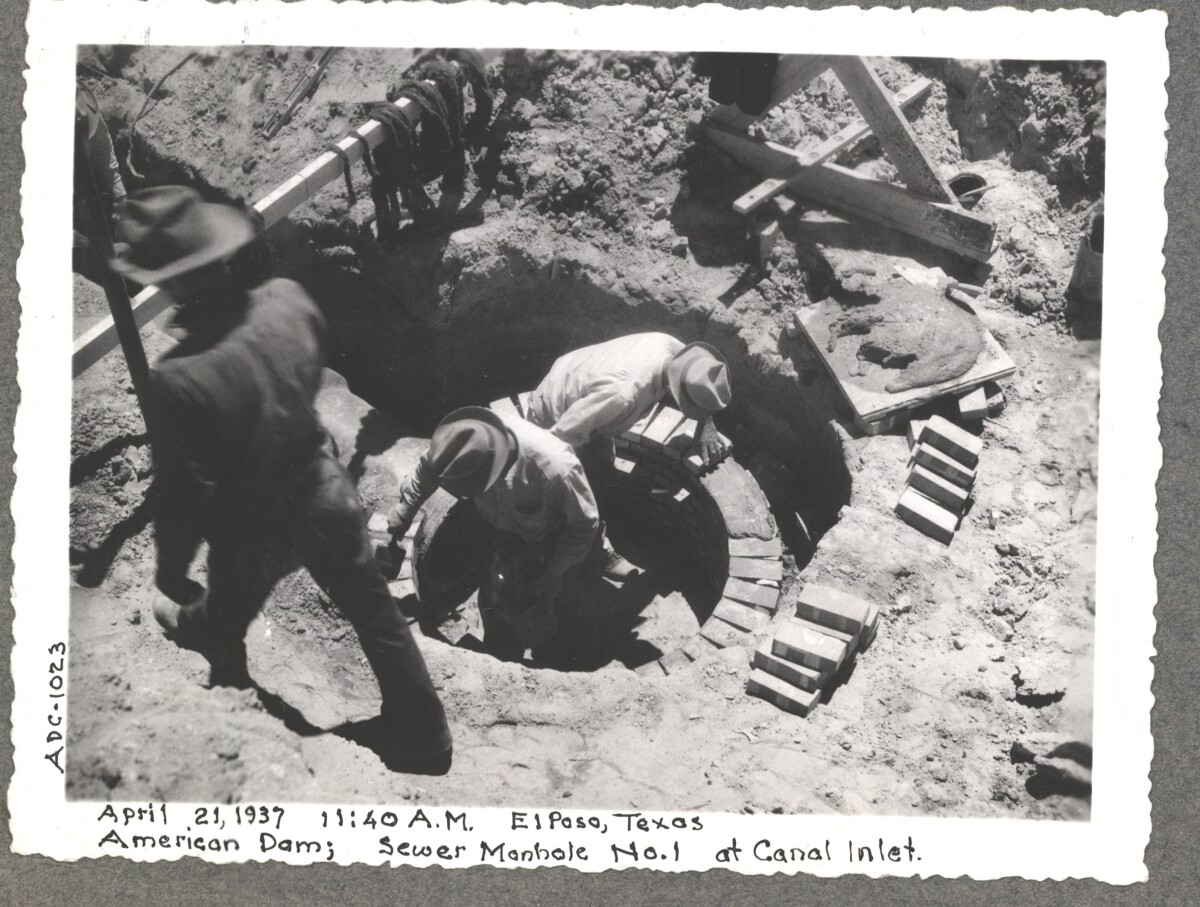
April 19 1937, American Dam sewer manhole construction at No.1 canal inlet.

Area: Central / Smeltertown

Source: IBWC

Uploaded by: El Paso Museum of History

Comments

Add a comment
Thank you for your comment

American Canal

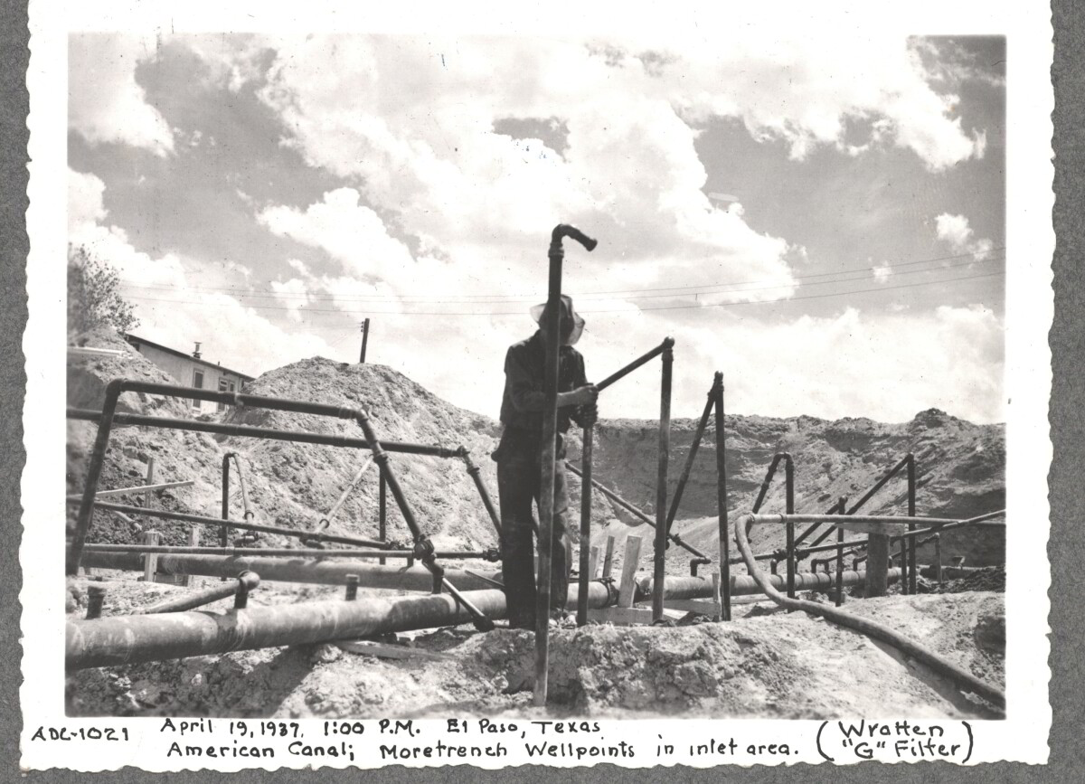
April 19 1937, More Trench at well point, inlet area American Canal

Area: Central / Smeltertown

Source: IBWC

Uploaded by: El Paso Museum of History

Comments

Add a comment
Thank you for your comment

Internatinal Boundary & Water Commission

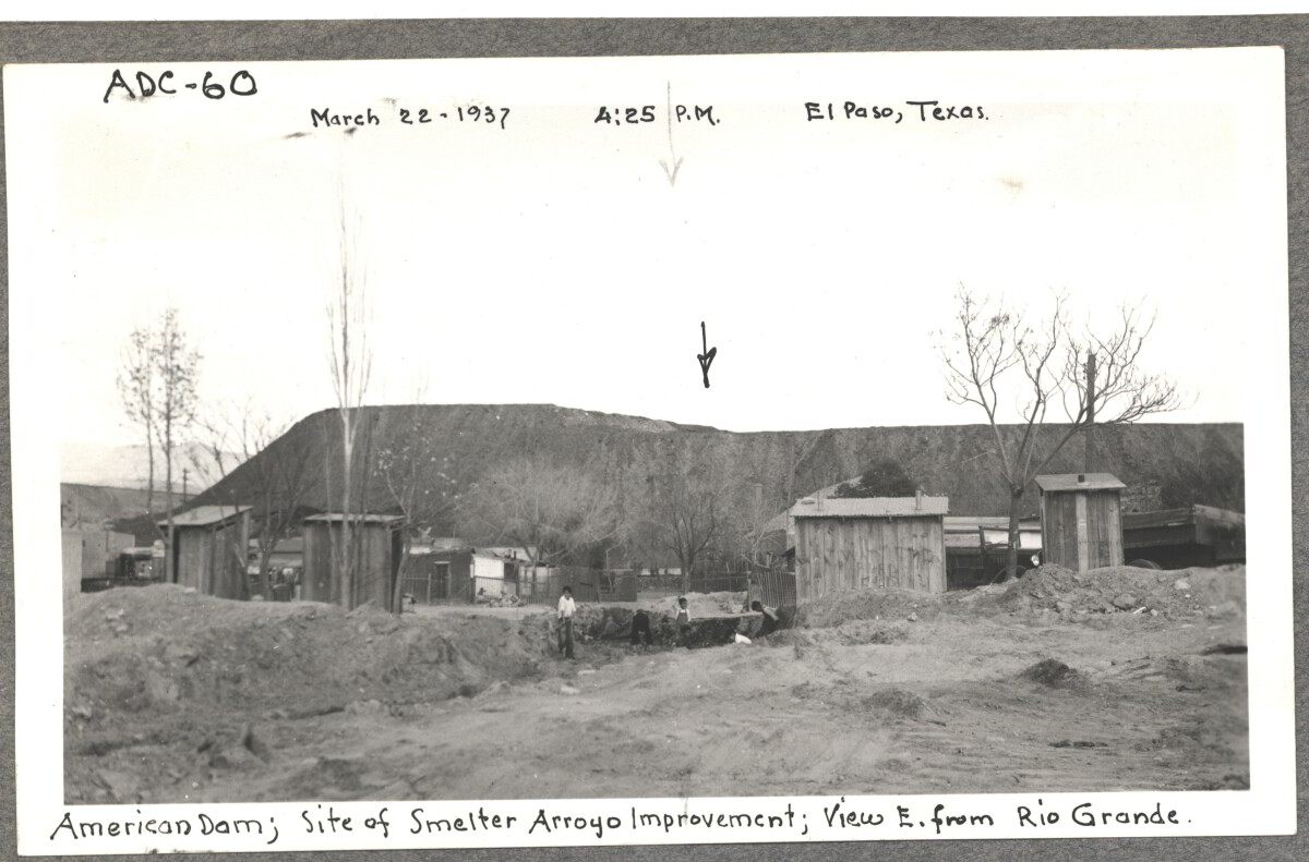
American Dam, site of smelter from Arroyo improvement; view E. of Rio Grande. March 22, 1937 at 4:25 p.m. El paso, Texas

Area: Central / Smeltertown

Source: IBWC

Uploaded by: El Paso Museum of History

Comments

Add a comment
Thank you for your comment

Internatinal Boundary & Water Commission

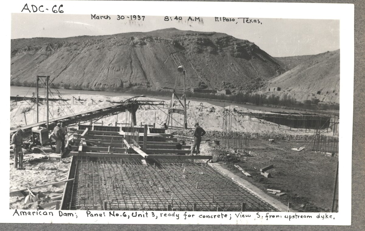
American Dam; panel No.6 , unit 3, ready for concrete view S. from , upstream dyke. March 30, 1937 at 8:40 a.m El paso, Texas.

Area: Central / Smeltertown

Source: IBWC

Uploaded by: El Paso Museum of History

Comments

Add a comment
Thank you for your comment

Internatinal Boundary & Water Commission

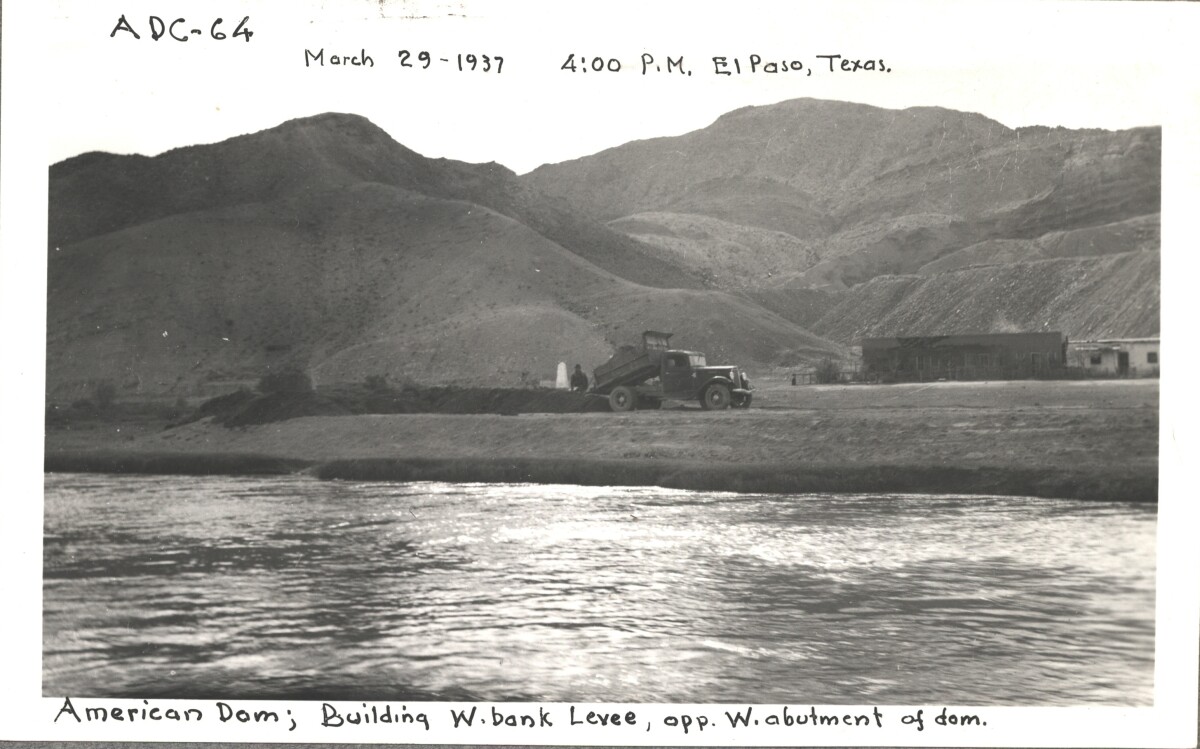
American Dam; building W. bank levee opp, W. abutment of Dom. March 29, 1937 at 4:00 p.m. El Paso, Texas.

Area: Central / Smeltertown

Source: IBWC

Uploaded by: El Paso Museum of History

Comments

Add a comment
Thank you for your comment

Internatinal Boundary & Water Commission

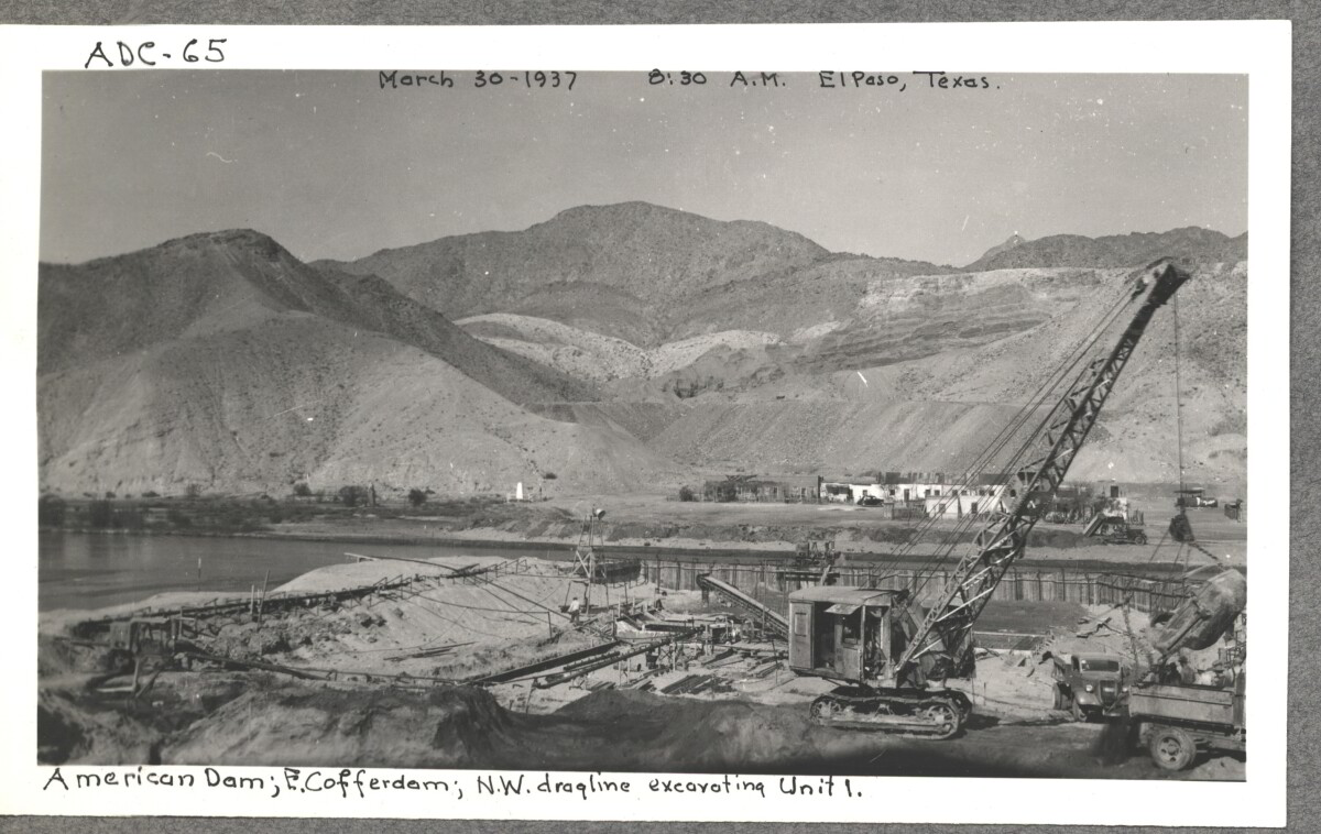
American Dam; E. cofferdam. N. W. draqline ex carting unit 1. March 30,1937 at 8:30 a.m. El paso, Texas.

Area: Central / Smeltertown

Source: IBWC

Uploaded by: El Paso Museum of History

Comments

Add a comment
Thank you for your comment

Internatinal Boundary & Water Commission

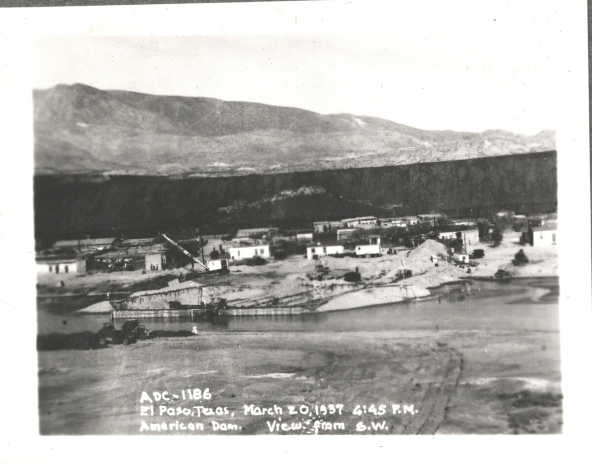
American Dam; view from S. W. El Paso, Texas March 20, 1937 at 4:45 p.m.

Area: Central / Smeltertown

Source: IBWC

Uploaded by: El Paso Museum of History

Comments

Add a comment
Thank you for your comment

Internatinal Boundary & Water Commission

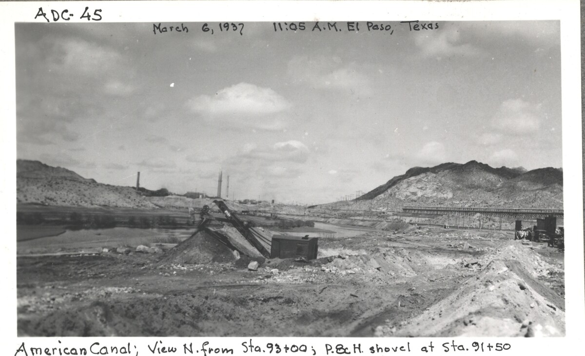
American canal; view N. from Sta. 93+00 ; p.8c H. shovel at Sta. 91+50

Area: Central / Smeltertown

Source: IBWC

Uploaded by: El Paso Museum of History

Comments

Add a comment
Thank you for your comment

Internatinal Boundary & Water Commission

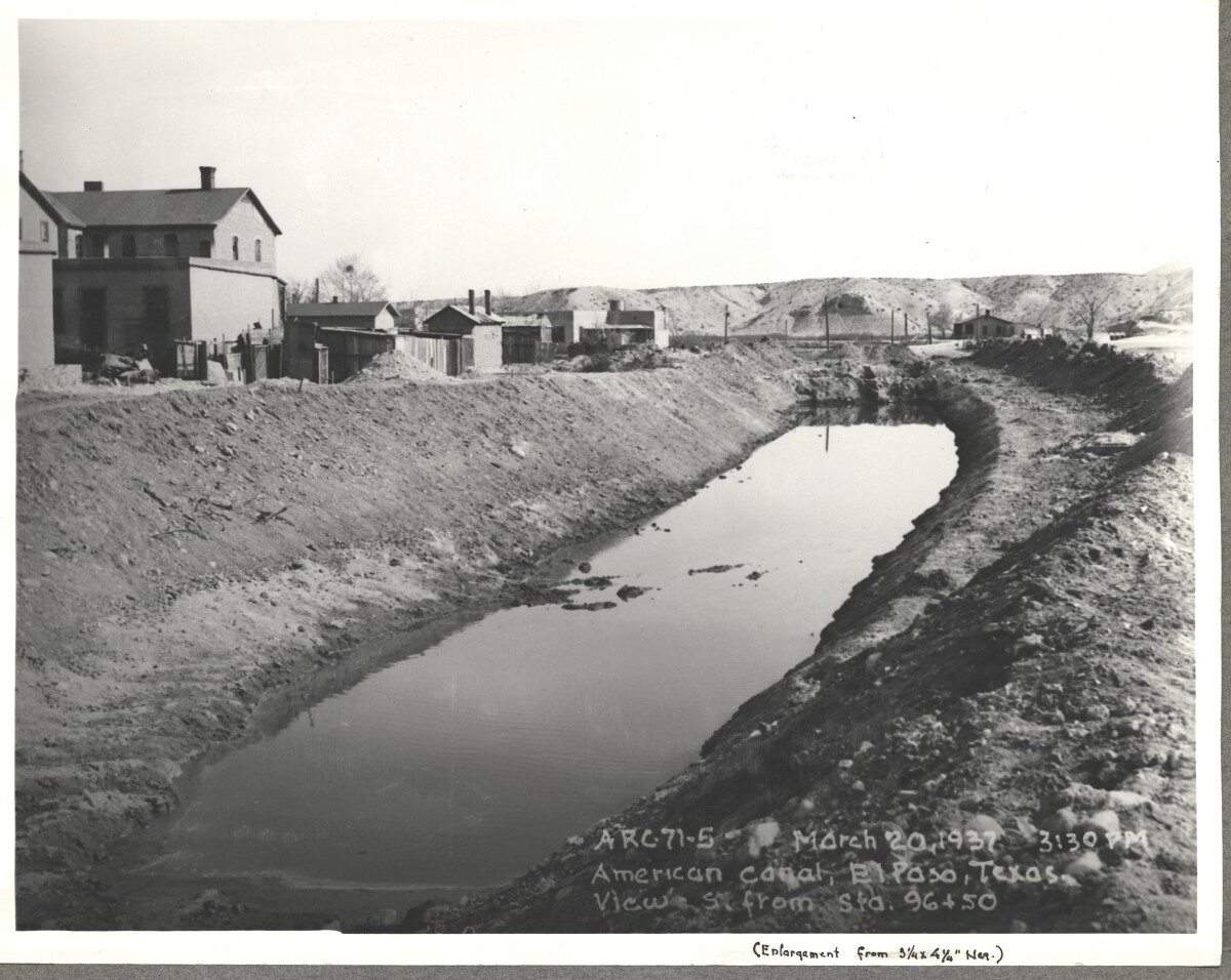
American Canal; El paso, Texas View S. Sta. 96+50. March 20, 1937 at 3:30p.m.

Source: IBWC

Uploaded by: El Paso Museum of History

Comments

Add a comment
Thank you for your comment

Internatinal Boundary & Water Commission - El Paso, Texas

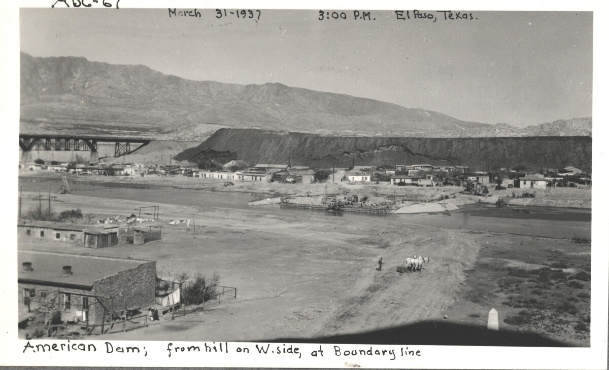
American Dam; view from hill on west side, at boundary line. El Paso, Texas March 31,1937 El Paso, Texas at 3:00 p.m.

Area: Central / Smeltertown

Source: IBWC

Uploaded by: El Paso Museum of History

Comments

Add a comment
Thank you for your comment

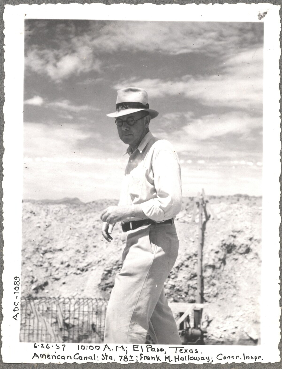
Construction of American Canal, 1937

Note: 6-26-37, 10:00am, El Paso, Texas. American Canal; Sta. 78; Frank M. Holloway, Cocr. Inspr. For centuries the Rio Grande River has been used as a source of irrigation water for agriculture in the El Paso – Juarez area. In 1889 the governments of the United States and Mexico established the International Boundary Commission (IBC), in 1944 renamed the International Boundary and Water Commission (IBWC). One of its early actions was to discuss delivery of Rio Grande water to Mexico. In 1906, the two countries agreed to deliver 60,000 acre-feet of water annually to Mexico at the main irrigation Canal in Ciudad Juarez, known as Acequia Madre. The canal's mouth is two miles downstream from the international border. The remainder of the water would be used by American farmers in the ninety-mile-long El Paso valley. In times of drought both Mexican and American shares would be reduced on a percentage basis. The system did not provide a way for the United States to allot Mexico its rightful portion and keep the rest. As a result, Mexico took its share first and channeled the remainder into the Franklin Canal for the farms in the El Paso valley. According to some American estimates this permitted Mexico to siphon off up to three times its portion of irrigation water. Responding in 1935, Congress authorized two diversionary projects, the American Dam and the American Canal. The dam caught the water in New Mexico short of the international border, measured Mexico's share and allowed it to continue to the Acequia Madre, and diverted everything else into the American Canal, a two-mile feeder leading to the Franklin Canal. The American Canal parallels West Paisano Drive (US Highway 85) and the Burlington Northern Santa Fe Railroad track. The project has proved a successful solution to the problem of dividing the waters. Sources: http://www.tshaonline.org/handbook/online/articles/rua03 http://www.ibwc.gov/Files/EnvironmentalAssessment.pdf

Area: Central / Smeltertown

Source: IBWC

Uploaded by: El Paso Museum of History

Comments

Add a comment
Thank you for your comment

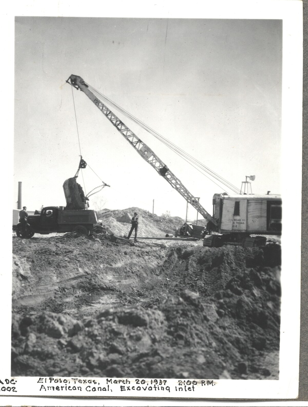
Internatinal Boundary & Water Commission

American Canal; Excavatina inlet; El Paso, Texas March 20, 1937 at 2:00 p.m.

Area: Central / Smeltertown

Source: IBWC

Uploaded by: El Paso Museum of History

Comments

Add a comment
Thank you for your comment

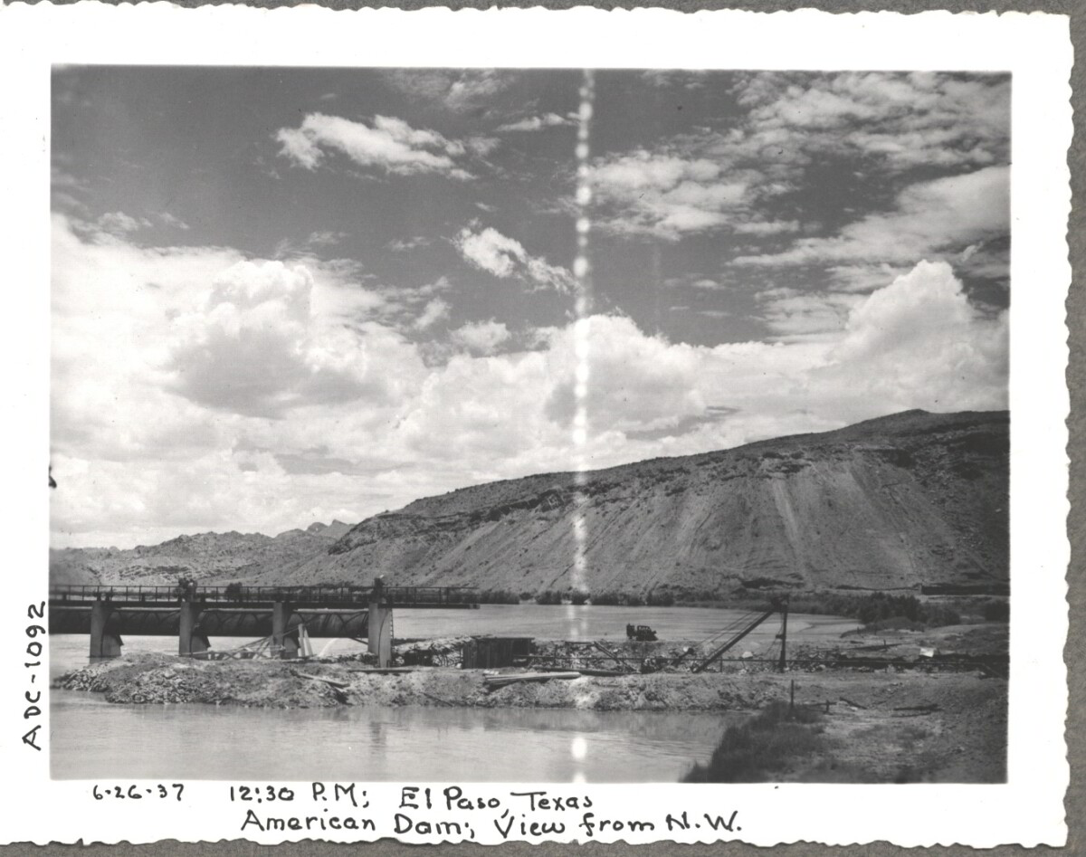
Construction of American Dam, 1937

Note: 6-26-37, 12:30 pm, El Paso Texas. American Dam, View from N.W. For centuries the Rio Grande River has been used as a source of irrigation water for agriculture in the El Paso – Juarez area. In 1889 the governments of the United States and Mexico established the International Boundary Commission (IBC), in 1944 renamed the International Boundary and Water Commission (IBWC). One of its early actions was to discuss delivery of Rio Grande water to Mexico. In 1906, the two countries agreed to deliver 60,000 acre-feet of water annually to Mexico at the main irrigation Canal in Ciudad Juarez, known as Acequia Madre. The canal's mouth is two miles downstream from the international border. The remainder of the water would be used by American farmers in the ninety-mile-long El Paso valley. In times of drought both Mexican and American shares would be reduced on a percentage basis. The system did not provide a way for the United States to allot Mexico its rightful portion and keep the rest. As a result, Mexico took its share first and channeled the remainder into the Franklin Canal for the farms in the El Paso valley. According to some American estimates this permitted Mexico to siphon off up to three times its portion of irrigation water. Responding in 1935, Congress authorized two diversionary projects, the American Dam and the American Canal. The dam caught the water in New Mexico short of the international border, measured Mexico's share and allowed it to continue to the Acequia Madre, and diverted everything else into the American Canal, a two-mile feeder leading to the Franklin Canal. The American Canal parallels West Paisano Drive (US Highway 85) and the Burlington Northern Santa Fe Railroad track. The project has proved a successful solution to the problem of dividing the waters. Sources: http://www.tshaonline.org/handbook/online/articles/rua03 http://www.ibwc.gov/Files/EnvironmentalAssessment.pdf

Area: Central / Smeltertown

Source: IBWC

Uploaded by: El Paso Museum of History

Comments

Add a comment
Thank you for your comment

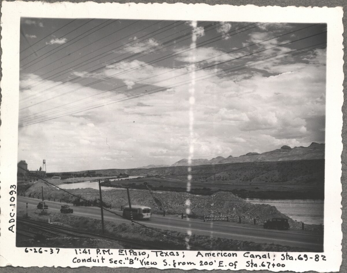
American Canal, 1937

Note: 6-26-37, 1:41pm, El Paso, Texas; American Canal; sta. 69-82 Conduit sec. "B" View S. from 200' E. of Sta. 67+00 For centuries the Rio Grande River has been used as a source of irrigation water for agriculture in the El Paso – Juarez area. In 1889 the governments of the United States and Mexico established the International Boundary Commission (IBC), in 1944 renamed the International Boundary and Water Commission (IBWC). One of its early actions was to discuss delivery of Rio Grande water to Mexico. In 1906, the two countries agreed to deliver 60,000 acre-feet of water annually to Mexico at the main irrigation Canal in Ciudad Juarez, known as Acequia Madre. The canal's mouth is two miles downstream from the international border. The remainder of the water would be used by American farmers in the ninety-mile-long El Paso valley. In times of drought both Mexican and American shares would be reduced on a percentage basis. The system did not provide a way for the United States to allot Mexico its rightful portion and keep the rest. As a result, Mexico took its share first and channeled the remainder into the Franklin Canal for the farms in the El Paso valley. According to some American estimates this permitted Mexico to siphon off up to three times its portion of irrigation water. Responding in 1935, Congress authorized two diversionary projects, the American Dam and the American Canal. The dam caught the water in New Mexico short of the international border, measured Mexico's share and allowed it to continue to the Acequia Madre, and diverted everything else into the American Canal, a two-mile feeder leading to the Franklin Canal. The American Canal parallels West Paisano Drive (US Highway 85) and the Burlington Northern Santa Fe Railroad track. The project has proved a successful solution to the problem of dividing the waters. Sources: http://www.tshaonline.org/handbook/online/articles/rua03 http://www.ibwc.gov/Files/EnvironmentalAssessment.pdf

Area: Central / Smeltertown

Source: IBWC

Uploaded by: El Paso Museum of History

Comments

Add a comment
Thank you for your comment

Report this entry

Choose the most important reason for this report

Your name

Your email address

Optional detail

Thank you for your report

More from the same community-collection

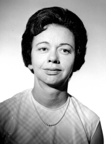
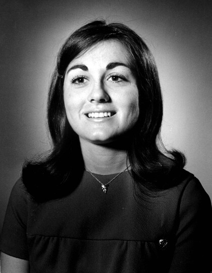
Barbara Funkhouser, El Paso Times

El Paso Times Editor - first woman editor of The El Paso Times. ...

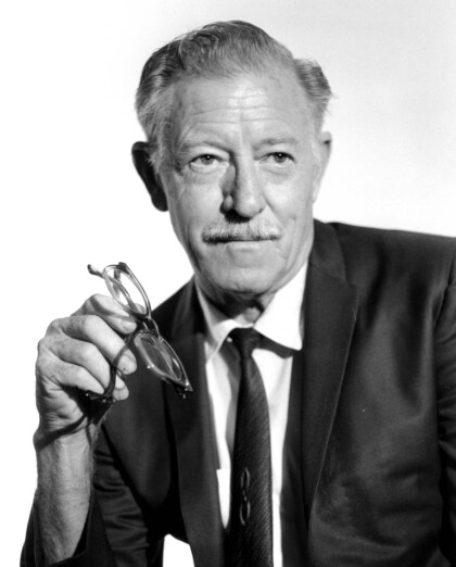
George Kinsinger - El Paso Times

Mr. Kinsinger was a member of the staff of the El Paso Times. He ...

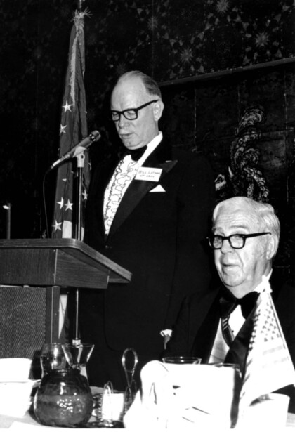
Bill Latham--El Paso Times Editor and Dr. Thomas Barnes

Bill Latham, the El Paso Times editor is to the left. Dr. Thomas ...

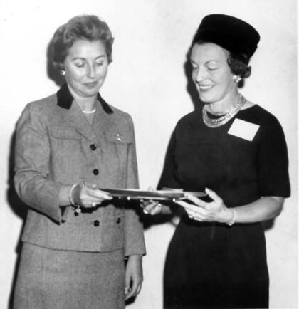
Gertrude Goodman and Sarah Lea - El Paso, Texas

Gertrude Goodman (on the left) was commended by the Senate of ...

Mary Ellen Botter

Mary Ellen Botter graduated from Austin High School in El Paso ...

Mrs. Paca Alarcon

Mrs Paca Alarcon came to El Paso in 1853. Then she married a ...

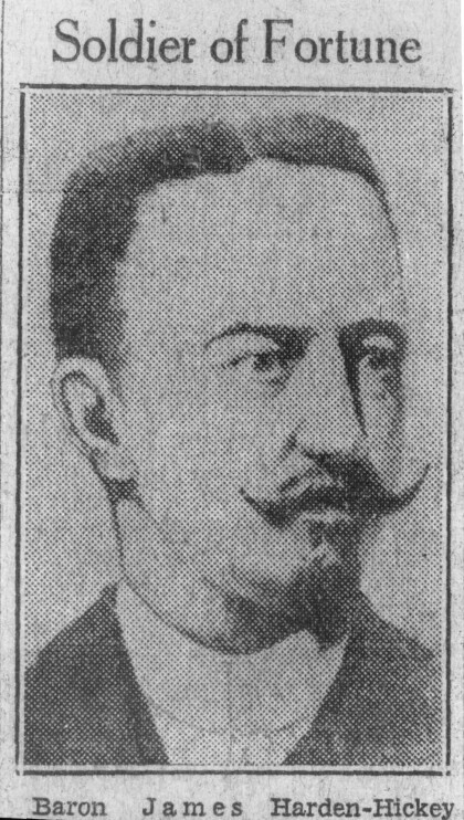
James Harden-Hickey

Traveling to Tibet before his marriage, his crew made a stop in ...

Felix Martinez

Felix Martinez's most lasting contribution was his strong ...

Clara Jane Hawkins

Mrs. Clara Jane Hawkins received the Congressional Medal of ...

James P. Mills, father of Anson Mills

James P. Mills was born in 1808 in Pennsylvania. He became an ...

Ben Williams - El Paso Lawman - El Paso, Texas

Ben Williams operated the Ben Williams Detective Agency in El ...

William Bonney, aka Billy the Kid

William Bonney (1859–1881) Billy the Kid was a pathological ...

Dr. Charles T. Race

Dr. Charles T. Race was born in 1851 in Kentucky. He came to ...

Abraham Gonzales - Gov. of Chihuahua - 1911

Abraham Gonzales was the provisional and constitutional governor ...

Mr. Maurice C. Edwards

Mr. Edwards worked for Mr. Bassett in his lumber yard at Stanton ...

Prince John Magruder

John Magruder was a career military officer who served in the ...

Capt. John Hughes-Texas Ranger - El Paso, Texas

In 1886 several horses were stolen from his and neighboring ...

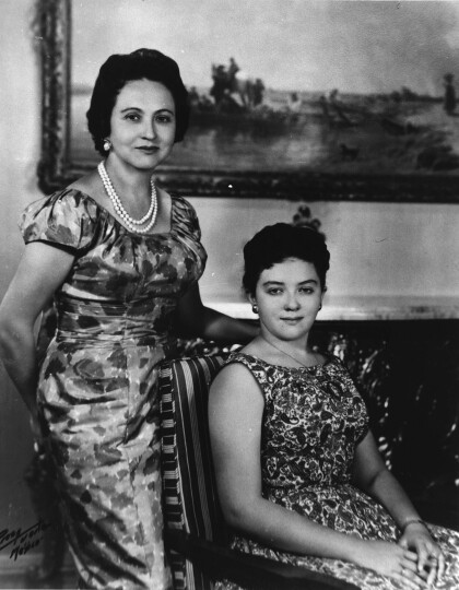
Mrs. Lopez Mateos and Daughter

President of Mexico's wife Mrs. Lopez Mateos and daughter.

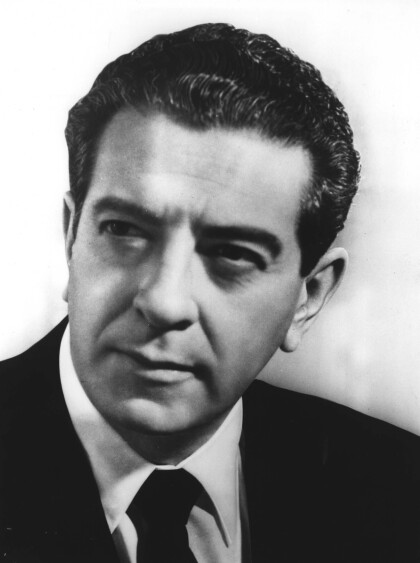
Lopez Mateos - President of Mexico

López Mateos was born in Atizapán de Zaragoza to Mariano ...

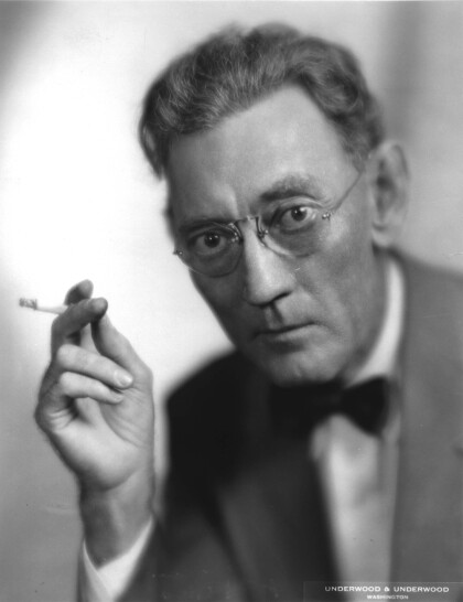
Owen P. White

Owen Payne White, writer and editor, second son of Alward and ...

Helen Leavitt

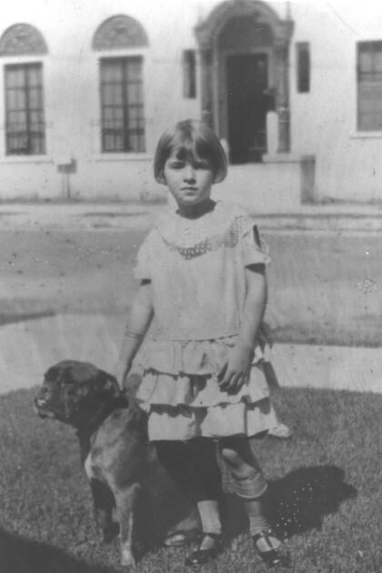
Helen Leavitt poses with her dog.

Maud Austion Crouse,El Paso Texas circa 1915

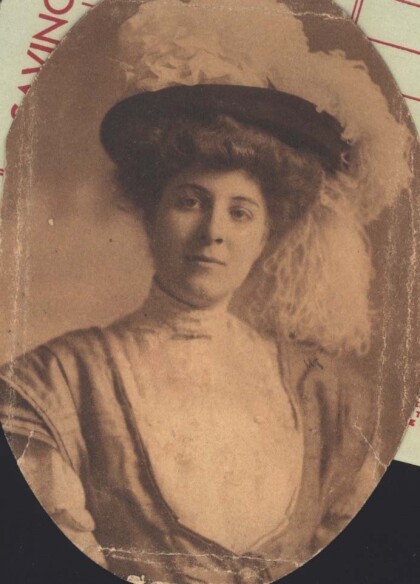
Maud Austion was the wife of Hugh Crouse, a doctor in El Paso, ...

Louise Austin - Mrs. James S. Marr

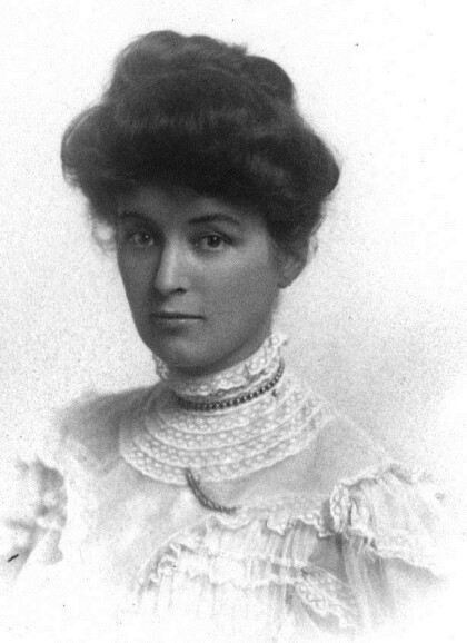
Wife of Col. James Marr, who was the founder of El Paso Transfer ...
home.search_collection