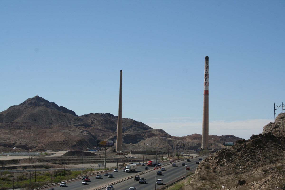
Asarco Stacks 2013

Asarco Stacks 2013

The image shows the Asarco smokestacks in 2013 - leftovers from the Asarco smelting site. They were torn down later that year. This industrial area was called Smeltertown. It was situated west of downtown El Paso and it came into being with the construction of the Kansas City Consolidated Smelting and Refining Company (later the American Smelting and Refining Company, or ASARCO) copper and lead smelter, in 1887. In the 1880s the Mexican employees of the smelter began building houses west of the smelter, beside the Rio Grande. School, church and post office were added later. The facility was a custom smelter that processed several different metals from ore that came from diverse sites. Although lead and zinc were extracted at the site, copper was the main product in the later years of operation. In 1945 the El Paso Herald-Post called attention to the poverty in Smeltertown and in the early 1970s it became the center of an environmental controversy. ASARCO was charged with violations of the Texas Clean Air Act. It was also found out that 72 out of 500 residents suffered from lead poisoning due to a huge amount of lead emission between 1969 and 1971. Another study confirmed “undue lead absorption” of people living in a one-mile radius in 1975. In the same year an injunction ordered ASARCO to modernize and make environmental improvements, which were not done due to the high costs. Against their wishes the residents were forced to move; their former homes were razed, as well as the business buildings and stacks, leaving only the abandoned school and church buildings to mark the site of El Paso's first major industrial community.

Area: Central / Smeltertown

Source: C.L. Sonnichsen Special Collections, University of Texas at El Paso Library. Collection Name: Asarco Stacks 2013. Photo ID: IMG_4488.

Uploaded by: UTEP Library Special Collections

Comments

Add a comment
Thank you for your comment

Report this entry

Choose the most important reason for this report

Your name

Your email address

Optional detail

Thank you for your report

More from the same community-collection

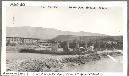
American Dam, 133

Pumping out the western cofferdam, as seen from the west bank.

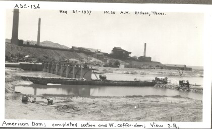
American Dam, 134

The competed section and the western cofferdam as seen form the ...

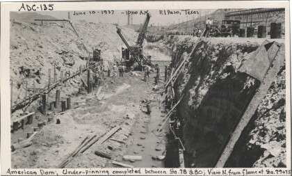
American Dam, 135

Underpinning completed between sections 78 and 80 of the ...

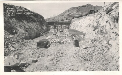
American Dam, 136

The American Dam conduit section B forms and footing.

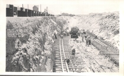
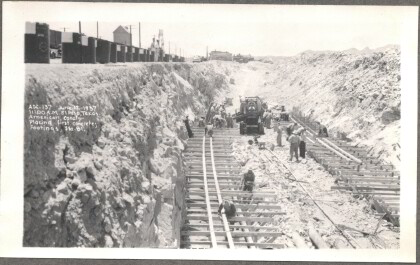
American Dam, 137

Placing the first concrete footings near station 81 of the ...

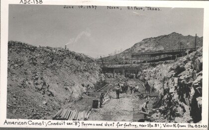
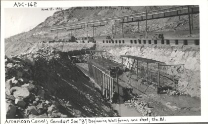
American Dam, 138

Conduit section B forms and steel for footing are seen near ...

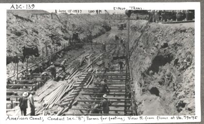
American Dam, 139

Conduit section B forms for footing as seen from the north of ...

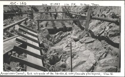
American Dam, 140

Rock Sub-grade with the concrete piles beyond are seen from ...

American Dam, 141

Forms and steel hold the concrete in the east footing of ...

American Dam, 142

Walls form around steel surrounding the conduit section "B" near ...

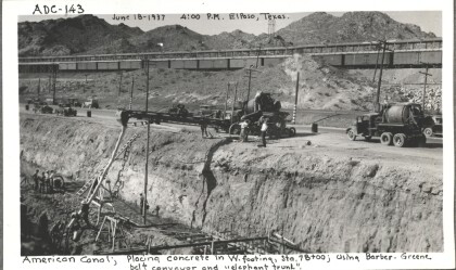
American Dam, 143

Placing concrete in the western footing using a Barber-Green ...

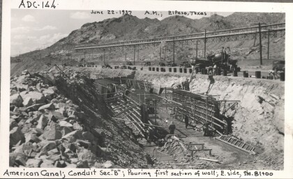
American Dam, 144

Workers pour the first section of the eastern side wall of ...

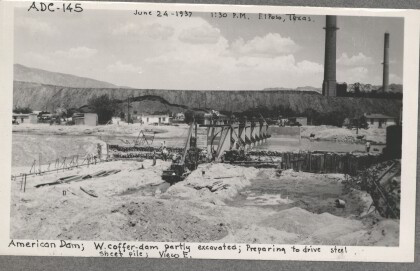
American Dam, 145

The western cofferdam shown partly excavated, preparing to drive ...

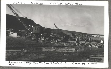
American Dam - Closing gap in lower dyke

American Dam - View west from east bank of river; closing gap in ...

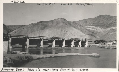
American Dam, 146

4500 cubic square feet of water pass through the American Dam.

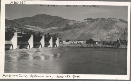
American Dam, 147

4500 cubic square feet of water pass thought the floodgates, as ...

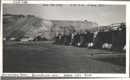
American Dam, 148

4500 cubic square feet of water pass through the floodgates, as ...

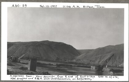
American Dam - Dragline and excavators on coffer-dam

American Dam - View downstream from east end of foot-bridge. ...
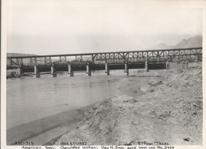
American Dam, 713

From the canal levee we can see the completed section opposite ...

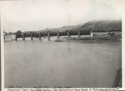
American Dam, 714

The view as seen downstream from the west end of the footbridge, ...

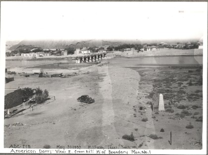
American Dam, 715

The dam as seen from the hill above the boundary near monument ...

American Dam - East bank Levee Sewer

American Dam - East bank Levee Sewer; Northwest dragline ...

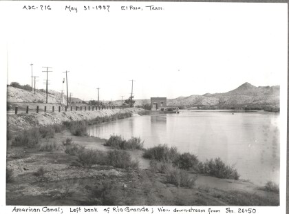
American Dam, 716

The left bank of the Rio Grande is seen from stations 26 & 50.

home.search_collection