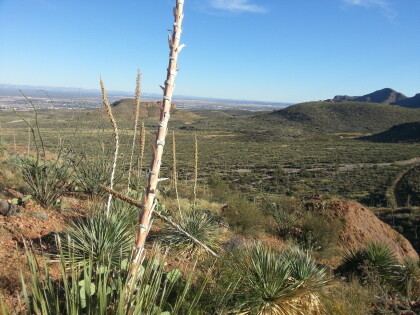
Texas Sotol Plant in the Northeast Mountains
Montanas
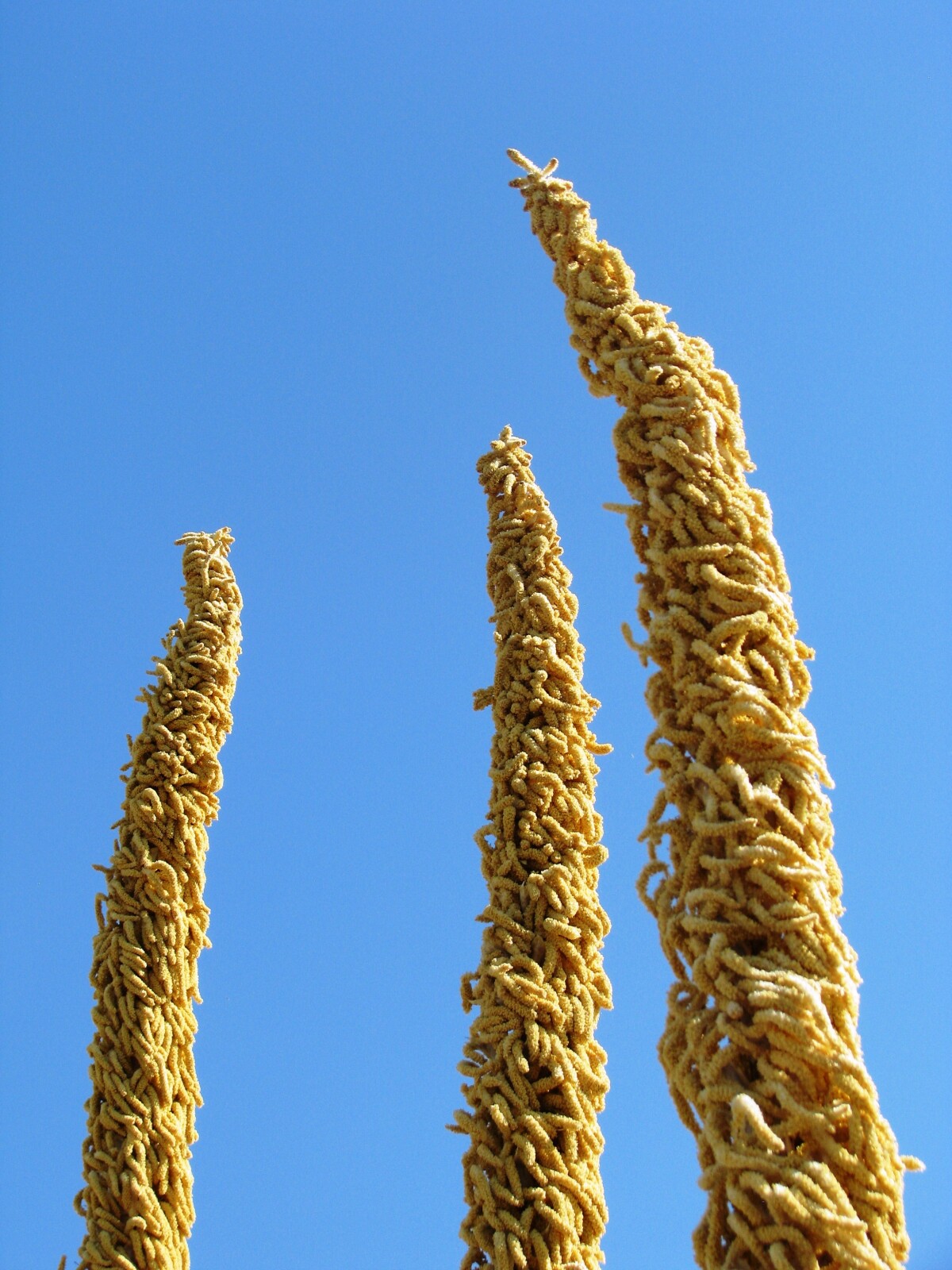
Texas Sotol Plant in the Northeast Mountains
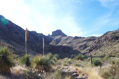
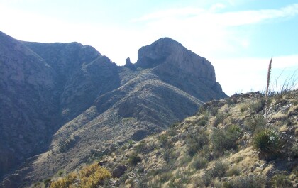
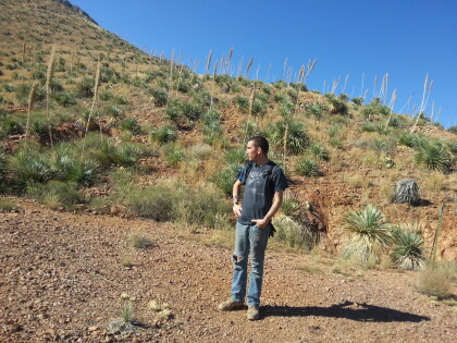
Texas sotol has light green leaves, a short trunk, and spectacular flower stalks from 9 to 15 feet tall. The slender individual leaves are under 1/2 inch wide and barely 3 feet long, spreading from a central trunk that is sometimes partially buried underground. It grows in arid, rocky limestone habitats in the Trans-Pecos, Edwards Plateau, and into Mexico. The dioecious flowers (male and female on separate plants) appear from May to August, attracting hummingbirds when they are mature. The leaves have dangerously sharp spines or teeth along their margins, so they must be planted away from pedestrian areas unless they are used for security barriers. Like all dasylirions, they need well-drained soil and full sun to thrive, and are very drought and heat tolerant. Texas sotols are highly ornamental landscape plants, as accents, massed as large focal points, or in pots. Throughout history Sotols have provided man with material for structures, roofs, baskets, mats, ropes, food and even liquor ("sotol"). They also provide fodder for cattle during droughts. http://aggie-horticulture.tamu.edu/ornamentals/nativeshrubs/dasyliriontexan.htm
Report this entry
More from the same community-collection
El Paso Police Officer Ed Agan - 1962
Each marked patrol or traffic unit carried a black, clip-on flag ...
Bank of the West Opens Branch in Northeast El Paso
2007: Bank of the West expands into Northeast El Paso with its ...
View of the Westside from Mammoth Rock
View of the Westside and Upper Valley, and Mount Cristo Rey from ...
The view from below the old tin mines in the Franklin Mountains
Jut before getting up to the tin mines we took a detour to ...
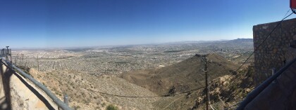
Panoramic View from the Wyler Aerial Tramway
We saw three states (Texas, New Mexico, and Chihuahua) and two ...
View From the parking lot at the bottom of the Tramway
This was before we bought our tickets to go to the top.
