Secret War Dogs In Vietnam - 1960 - 1969
Perros secretos de guerra en Vietnam - 1960-1969
Secret War Dogs In Vietnam - 1960 - 1969
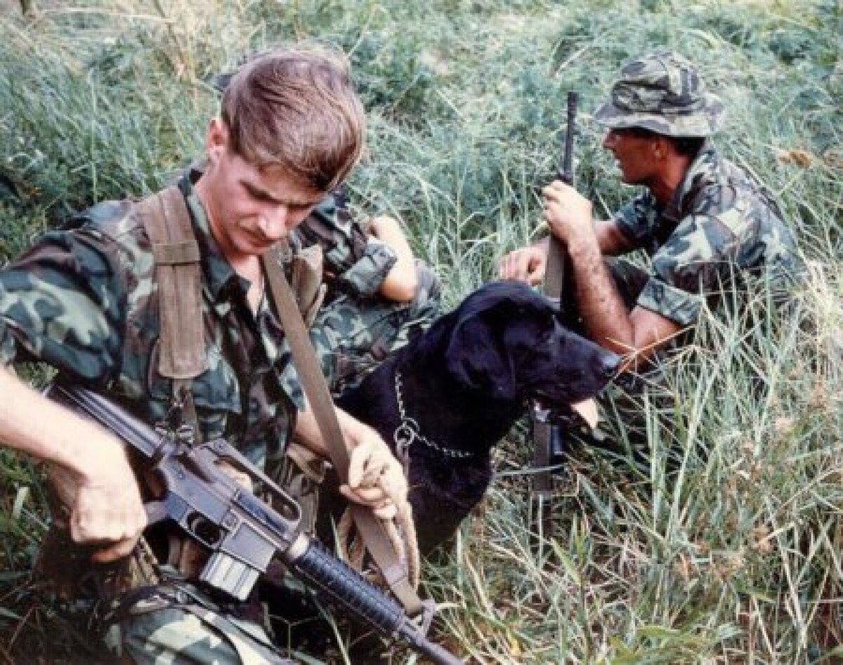
Photograph - was presented by Chuck Steward who was a member of the tracking unit and part of the 1st Infantry Division. He retired as a Sergeant Major and now lives in El Paso, Texas. In 1966, the U.S. Army trained sniffer dogs and their human companions to track down guerrillas in Vietnam. The military kept these Combat Tracker Teams secret to hide them from the enemy—and shield reluctant allies from a potential international incident. The impetus for the canine teams came from frustrated American commanders. The Viet Cong were masters of terrain, camouflage and tunneling—and dictated when and where a fight happened. More importantly, the enemy fighters could decide how long a battle lasted. “The U.S. command in Saigon [wants] to solve the problem of re-establishing and maintaining contact with enemy forces after they have broken contact with U.S. units,” stated a report by the Army’s private Combat Operations Research Group. https://warisboring.com/the-u-s-army-had-secret-war-dogs-in-vietnam-67a98311a734#.86g7q7azn
Report this entry
More from the same community-collection
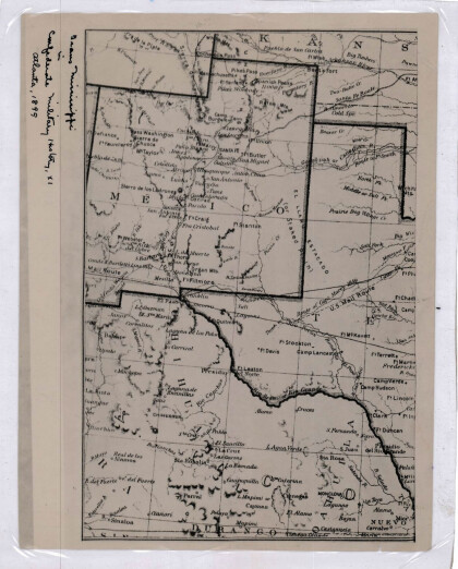
New Mexico, Texas; Chihuahua, Mexico 1861-1865
Map of the borders between New Mexico, Texas and Chihuahua, ...
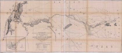
Map No. 1 from Fort Smith to the Rio Grande
Map of the route near the 35th parallel. Part of the ...
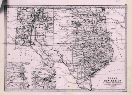
Texas, New Mexico, and Indian Territory
Map of Texas counties and New Mexico showing Indian Territories ...
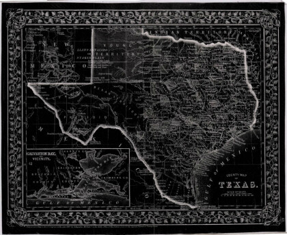
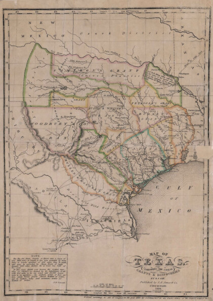
Texas: Containing the Latest Grants and Discoveries
Map of Texas containing the latest grants and discoveries in ...
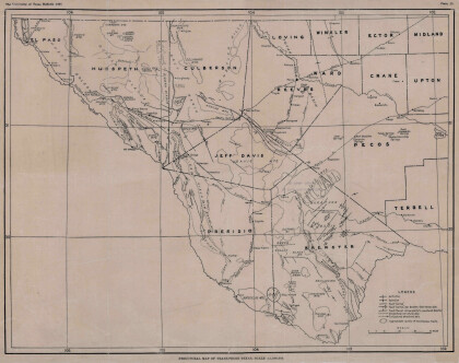
Structural Map of Trans-Pecos Texas
Map of the Trans-Pecos, Texas area; Outlines and lines are shown ...
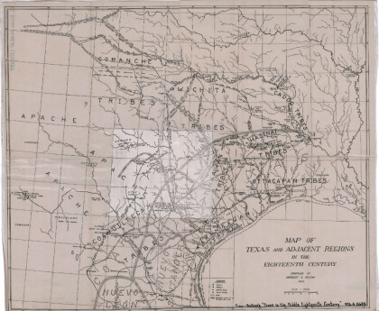
Map of Texas and Adjacent Regions in the Eighteenth Century
Map of Texas and the adjacent regions illustrating missions, ...
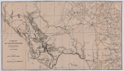
Military Map of the Rio Grande Frontier
Military map of the Rio Grande frontier prepared from original ...
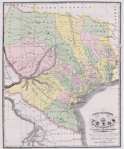
General Austin's Map of Texas with Parts of the Adjoining States
Colorful map of Texas highlighting the borders between states ...
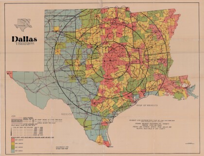
Dallas: Industrial and Distribution Center of the Southwest
Colorful market and distribution map of the Southwest - Texas, ...
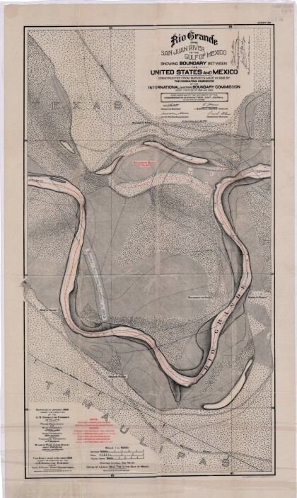
Rio Grande from San Juan River to the Gulf of Mexico
Map illustrates the Rio Grande from the San Juan River to the ...
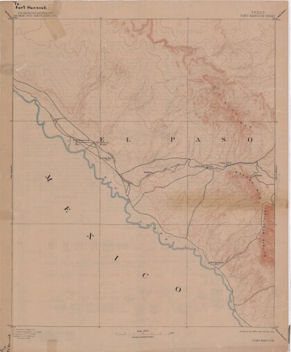
Map of Fort Hancock, Texas circa 1915
Topographical map indicating the location of Fort Hancock and ...
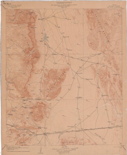
Topography: the University of Texas Mineral Survey
Topographic map of the Van Horn quadrangle in Texas. Indicates ...
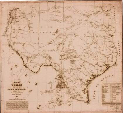
J. De Cordova's State of Texas
This geographical map of Texas was compiled from the records of ...
United States - Routes of Principal Explorers
This United States map colorfully illustrates routes taken by ...
