1970 Map of El Paso, Texas
Mapa de El Paso en 1970 El Paso, Texas
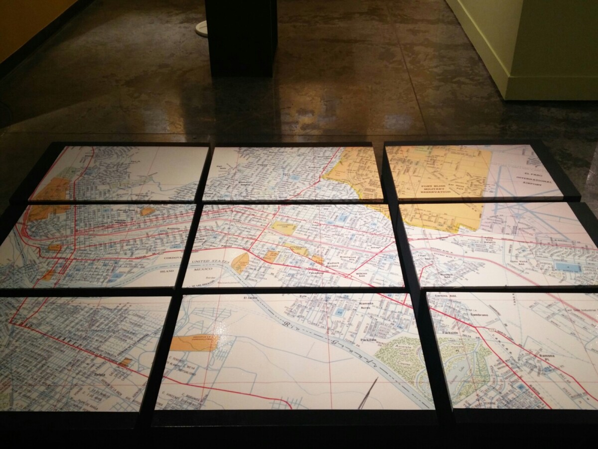
1970 Map of El Paso, Texas
Together these blocks make up a 1970 map of the City of El Paso. The map shows railroad lines and streets. By the 1970's passenger rail service was about to swith to Amtrak.
Report this entry
More from the same community-collection
Paso del Norte Health Foundation - Video
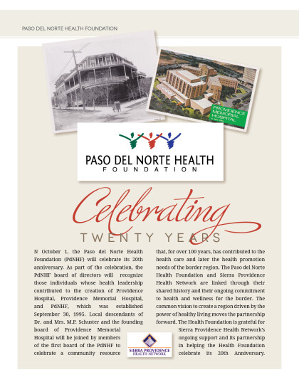
Celebrating 20 years of improving the health of the people ...
Dr. Verghese headlines PdNHF 20th Anniversary celebration
Dr. Abraham Verghese comes back to El Paso to celebrate the Paso ...
Paso del Norte Health Foundation celebrating 20 years
Paso del Norte Health Foundation was established on September ...
Paso del Norte Health Foundation Banners
Paso del Norte Health Foundation’s Proud Partner - Sierra ...
Paso del Norte Health Foundation Banners
Celebrating 20 years of health leadership on the border. ...
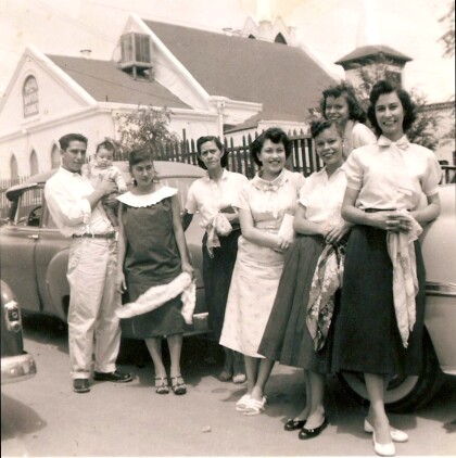
Muñoz Family Outside Virginia St. Home - El Paso, Texas
Grandparents, great-grandparents, and aunts hanging outside ...
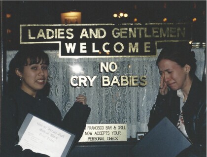
San Francisco Bar & Grill - El Paso, Texas
My friends and I were part of the 1996-1997 W.H. Burges High ...
Joshua Hunt and Alejandra De La Vega Foster
Even when construction on El Paso's first Triple-A stadium ...
New Era Wrestling- Only in El Paso - Video
Seen any wrestling matches in the back alleys of El Paso lately? ...
The Wienerschnitzel Wiener National
The Wienerschnitzel Wiener Nationals started at Los Alamitos ...
The Wienerschnitzel Wiener National
The Wienerschnitzel Wiener Nationals started at Los Alamitos ...
The Wienerschnitzel Wiener National
The Wienerschnitzel Wiener Nationals started at Los Alamitos ...


