1970 Map of El Paso, Texas
Mapa de El Paso en 1970 El Paso, Texas
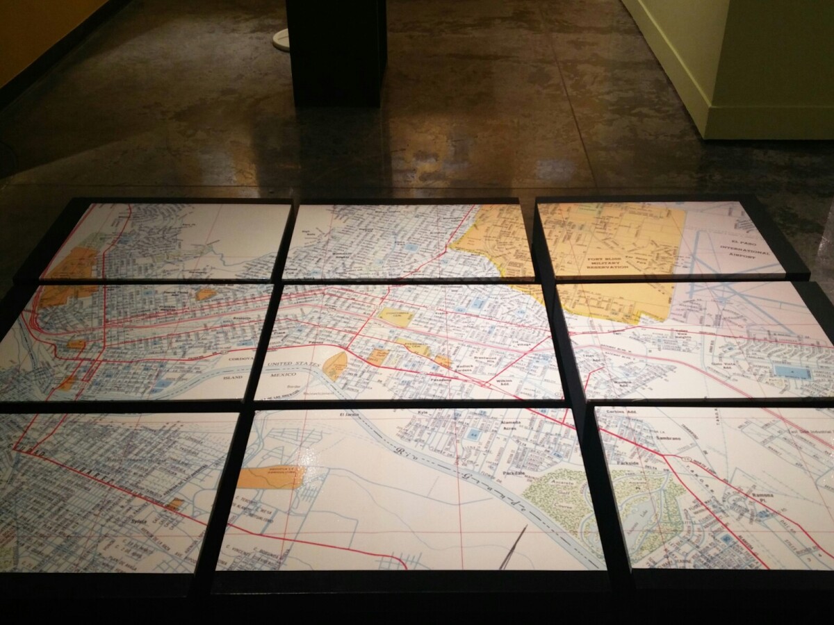
1970 Map of El Paso, Texas
Together these blocks make up a 1970 map of the City of El Paso. The map shows railroad lines and streets. By the 1970's passenger rail service was about to swith to Amtrak.
Report this entry
More from the same community-collection
San Jacinto Plaza - Christmas - 2016
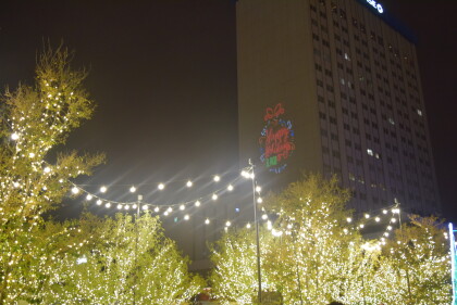
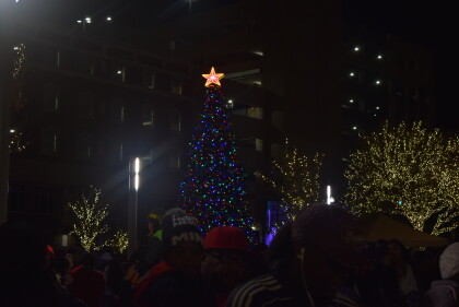
Downtown El Paso, Texas during the Christmas celebration in San ...
San Jacinto Plaza - Christmas - 2016
Annalyse Appelzoller and Savannah Appelzoller during the San ...
San Jacinto Plaza - Christmas - 2016
Annalyse Appelzoller and Savannah Appelzoller during the San ...
San Jacinto Plaza - Christmas - 2016
Downtown El Paso, Texas during the Christmas celebration during ...
San Jacinto Plaza - Christmas - 2016
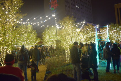
San Jacinto Plaza - Christmas - 2016 - Downtown El Paso, Texas.
San Jacinto Plaza - Christmas - 2016
Downtown El Paso, Texas -- Christmas celebration December of ...
San Jacinto Plaza - Christmas - 2016
Baby in a wagon during the Celebration of Lights -- downtown El ...
Gratitude to the Past and our Responsibility to the Future
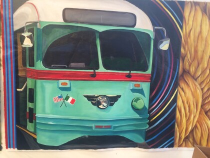
Detail of the Mural. Located on the side of the El Paso History ...
Gratitude to the Past and our Responsibility to the Future
Detail of the Mural. Located on the side of the El Paso History ...
Gratitude to the Past and our Responsibility to the Future
Creative Kids Participants working on the Mural. Located on the ...
Gratitude to the Past and our Responsibility to the Future
Creative Kids Participants working on the Mural. Located on the ...
Gratitude to the Past and Responsibility to the Future - Video
Time-Lapse Video of the Participants working on the Mural. ...
Ice Skating - Downtown El Paso, Texas - 2016
Ice skating in downtown El Paso, Texas. One of the major events ...
