1970 Map of El Paso, Texas
Mapa de El Paso en 1970 El Paso, Texas
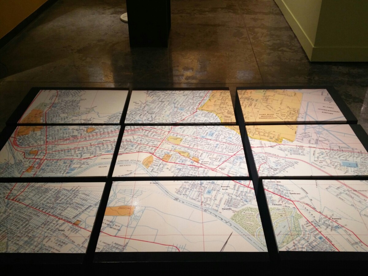
1970 Map of El Paso, Texas
Together these blocks make up a 1970 map of the City of El Paso. The map shows railroad lines and streets. By the 1970's passenger rail service was about to swith to Amtrak.
Report this entry
More from the same community-collection
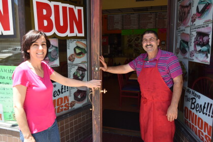
Big Bun - Downtown El Paso, Texas - 2017
Big Bun - Downtown El Paso, Texas - 2017 - Owners are Yousuf ...
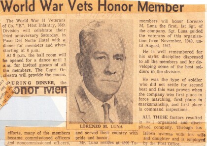
Lorenzo Luna Honored - Company E
Lorenzo Luna honored at the Paso Del Norte Hotel with dinner for ...
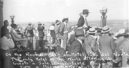
Roof Garden of Hotel Paso del Norte - 1915
The only hotel in the world offering its guest a safe, ...
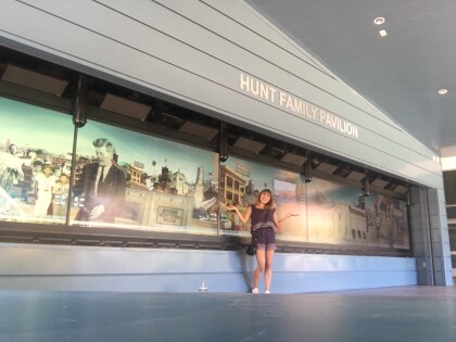
El Paso Scottish Rite - Mural - 2017
On Loan from Hal Marcus, Owner - 2001 Artist: Bill Rakocy - ...
National Society of the Colonial Dames of America - 2017
El Paso Town Committee – of the National Society of the ...
National Society of the Colonial Dames of America -2017
National Society of the Colonial Dames of America - 2017 El ...
National Society of the Colonial Dames of America - 2017
El Paso Town Committee – of the National Society of the ...
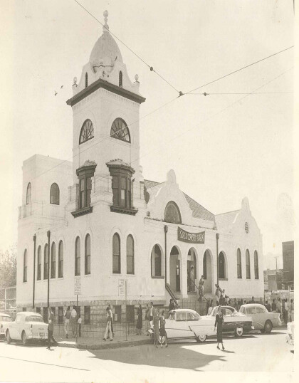
Primera Iglesia Bautista Mexicana - 1950's
This is the Primera Iglesia Bautista Mexicana, located in Quinta ...
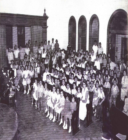
Primera Iglesia Bautista Mexicana 1950's
Santuary of the Primera Iglesia Bautista Mexicana, in Quinta & ...
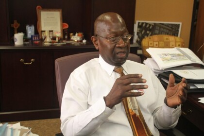
Carl Robinson: Northeast City Representative - District 4
Carl Robinson is a member of the El Paso City Council in Texas, ...
Black El Paso Democrats along with Deidra Pratt
Black El Paso Democtrats celebrating our Embassador.
El Paso Chihuahuas PCL championship rings
The El Paso Chihuahuas give out replica championship rings ...
