1970 Map of El Paso, Texas
Mapa de El Paso en 1970 El Paso, Texas
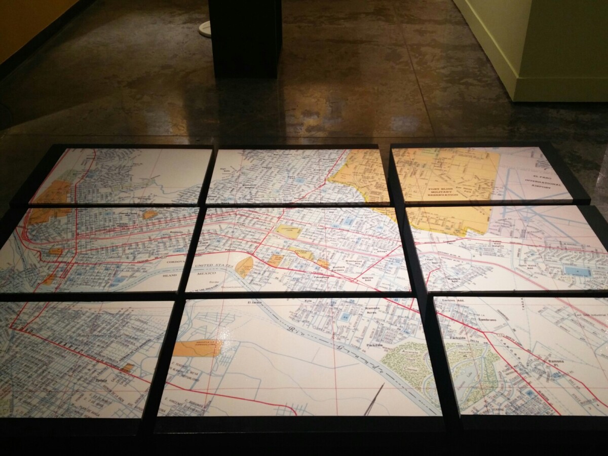
1970 Map of El Paso, Texas
Together these blocks make up a 1970 map of the City of El Paso. The map shows railroad lines and streets. By the 1970's passenger rail service was about to swith to Amtrak.
Report this entry
More from the same community-collection
Vikki Carr In 2009, El Paso, Texas
The singer and actress Vikki Carr, who is actually born in El ...
Vikki Carr in 2009, El Paso, Texas
Vikki Carr is holding a speech in 2009 after she was give the ...
Vikki Carr in 2009, El Paso, Texas
The picture shows the actress and singer Vikki Carr after the ...
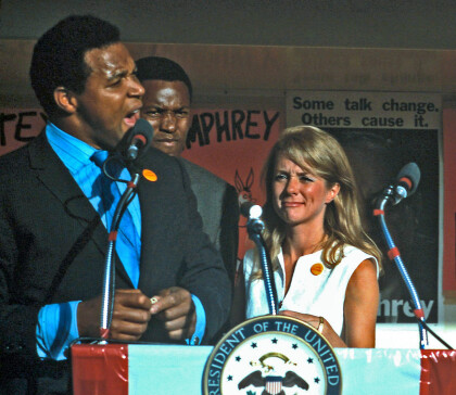
Humphrey Entourage during Presidential Campaign in 1968
This picture shows parts of the entourage of Hubert Humphrey, ...
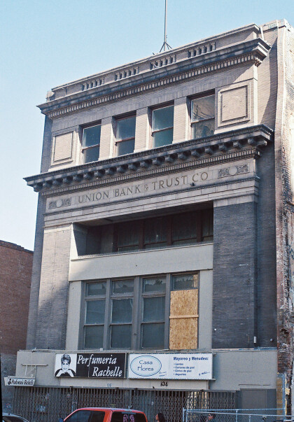
Union Bank & Trust Building - El Paso, Texas
The Union Bank & Trust Building was situated on 104 San Antonio ...
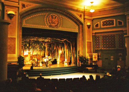
Scottish Rite Temple Interior - El Paso, Texas
The image shows the interior of the Scottish Rite Temple during ...
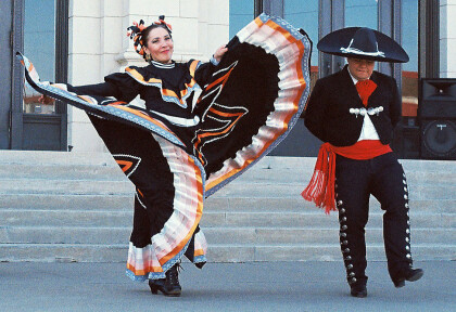
Dancers during Scottish Rite Temple's Celebration
The picture captures folk dancers during the Scottish Rite ...
