1970 Map of El Paso, Texas
Mapa de El Paso en 1970 El Paso, Texas
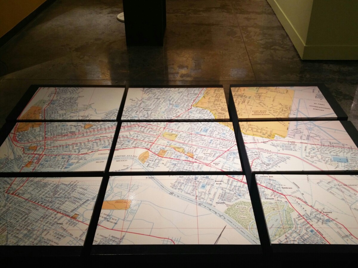
1970 Map of El Paso, Texas
Together these blocks make up a 1970 map of the City of El Paso. The map shows railroad lines and streets. By the 1970's passenger rail service was about to swith to Amtrak.
Report this entry
More from the same community-collection
Photography by Alfonso Baeza Jr.
Pasos Urbanos: A Photographic Narrative of Downtown Borderland ...
Photography by Alfonso Baeza Jr.
Pasos Urbanos: A Photographic Narrative of Downtown Borderland ...
"La Raza" by Ernesto Delgado-Gallegos
Pasos Urbanos: A Photographic Narrative of Downtown Borderland ...
"Basset Tower: A Gap in Time" by Ernesto Delgado-Gallegos
Pasos Urbanos: A Photographic Narrative of Downtown Borderland ...
Photography by Richelle Martinez
Pasos Urbanos: A Photographic Narrative of Downtown Borderland ...


