1970 Map of El Paso, Texas
Mapa de El Paso en 1970 El Paso, Texas
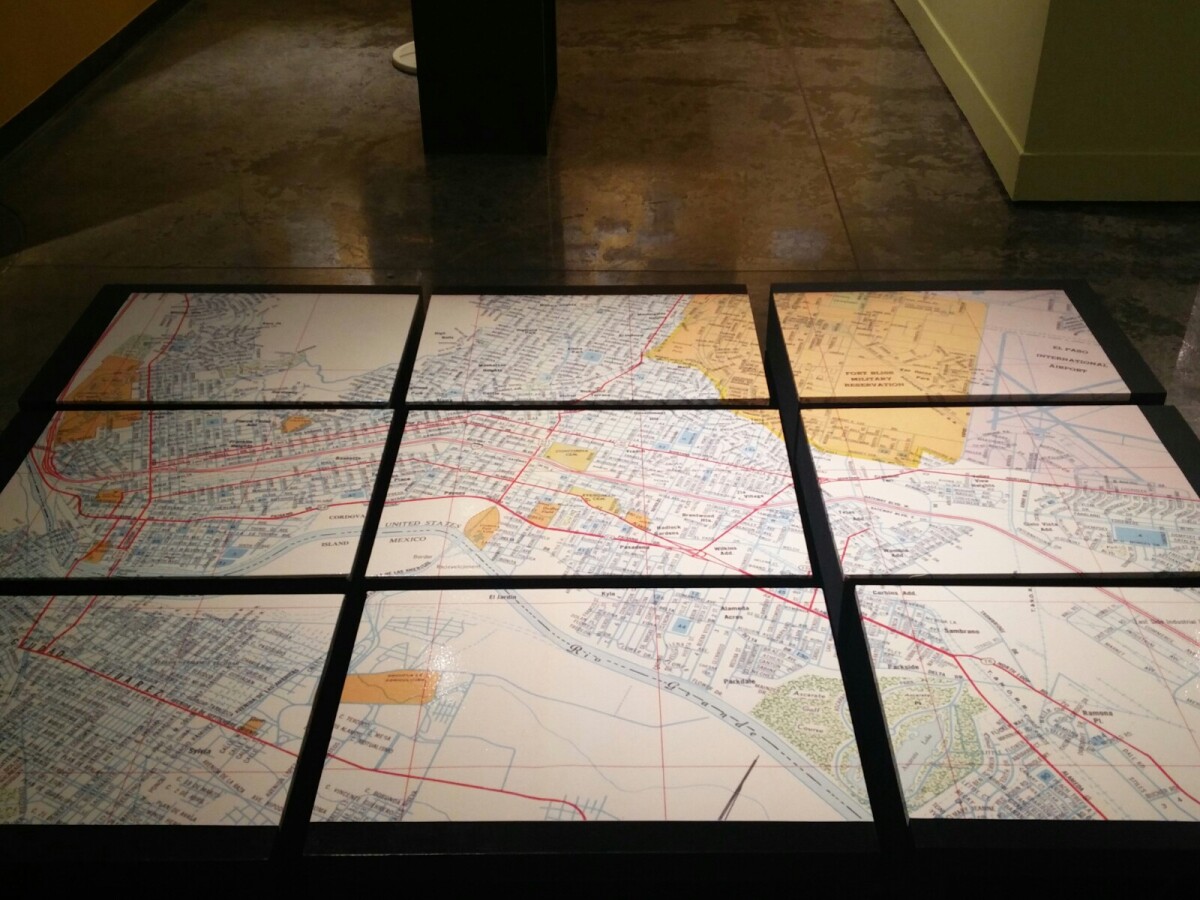
1970 Map of El Paso, Texas
Together these blocks make up a 1970 map of the City of El Paso. The map shows railroad lines and streets. By the 1970's passenger rail service was about to swith to Amtrak.
Report this entry
More from the same community-collection
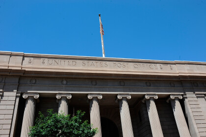
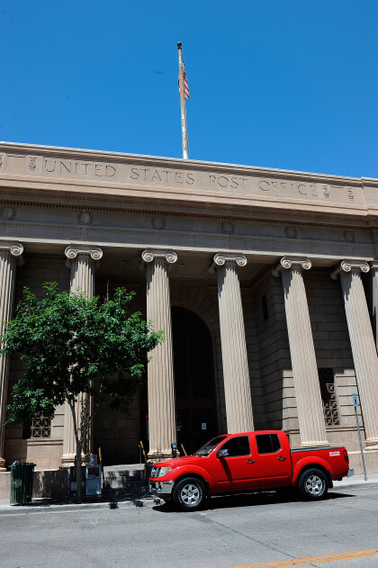
Post Office Downtown - El Paso, Texas
Post Office downtown at 219 Mills Ave, El Paso, Texas 79901.
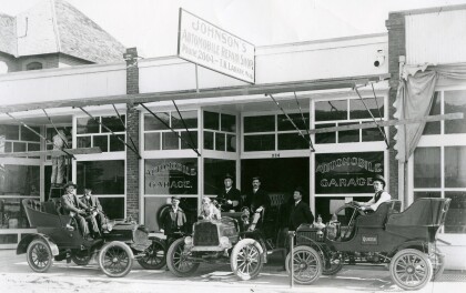
Automobiles in Front of Johnson's Automobile Repair Shop
Three cars are parked in front of Johnson's Automobile Repair ...
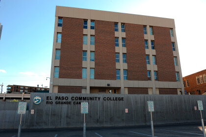
EPCC El Paso Community College Rio Grande Campus
The College Rio Grande Campus is located in 100 West Rio Grande ...
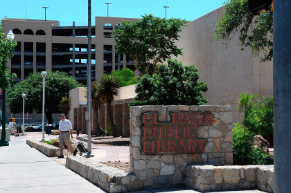
El Paso Public library main branch
El Paso Public library main branch in 501 N. Oregon El Paso Tx ...
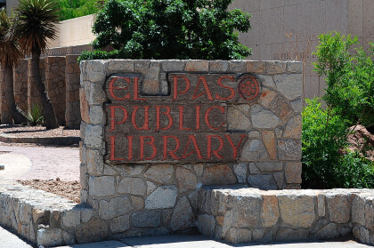
El Paso Public library main branch
El Paso Public library main branch in 501 N. Oregon El Paso Tx ...
El Paso Public library main branch
El Paso Public library main branch in 501 N. Oregon El Paso Tx ...
