1970 Map of El Paso, Texas
Mapa de El Paso en 1970 El Paso, Texas
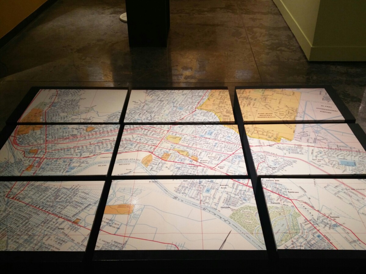
1970 Map of El Paso, Texas
Together these blocks make up a 1970 map of the City of El Paso. The map shows railroad lines and streets. By the 1970's passenger rail service was about to swith to Amtrak.
Report this entry
More from the same community-collection
El Paso Public Library- Main Library
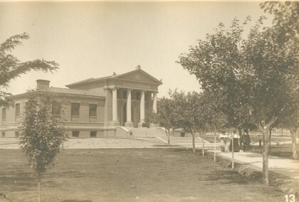
Original Carnegie Library building, built in 1904, expanded in ...
El Paso Public Library-Main Library
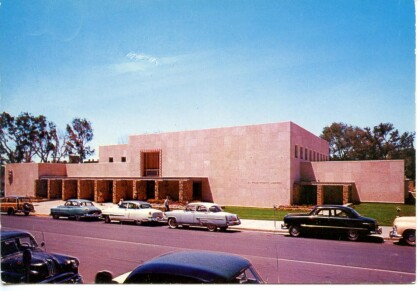
Main Library, constructed 1954, replaced original Carnegie ...
El Paso Public Library-Main Library
2006 addition to Main Library, part of the 2000 Quality of Life ...
Little Boy Seated - Son Of Mayor Dowell
Richard Dowell who was the son of Mayor Dowell - first mayor of ...
