1970 Map of El Paso, Texas
Mapa de El Paso en 1970 El Paso, Texas
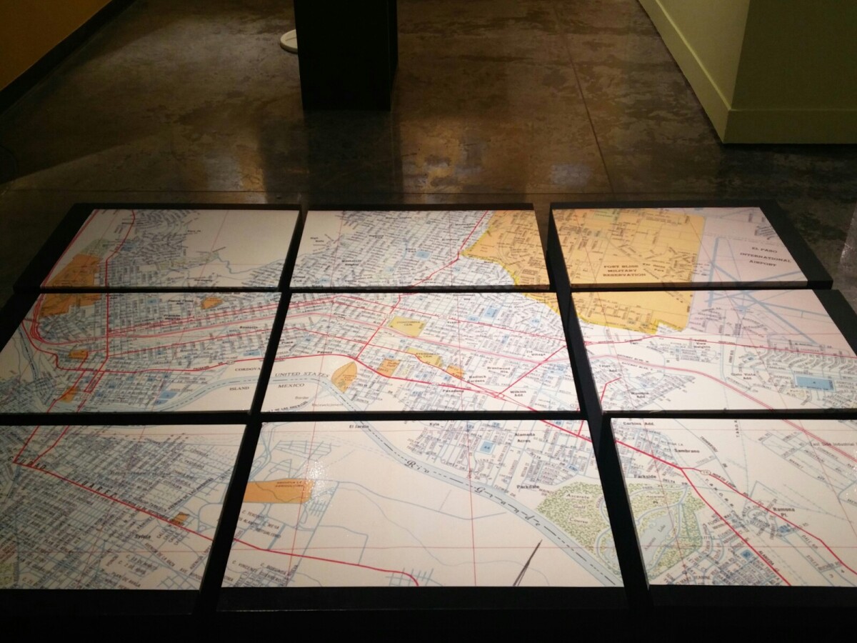
1970 Map of El Paso, Texas
Together these blocks make up a 1970 map of the City of El Paso. The map shows railroad lines and streets. By the 1970's passenger rail service was about to swith to Amtrak.
Report this entry
More from the same community-collection
Pony Express at El Paso Exploreum
A young boy "rides' a pony in Old El Paso at El Paso Exploreum ...
El Paso Exploreum Children's Museum Opens in El Paso
The city's first children's museum opened on Jan. 28, 2013. The ...
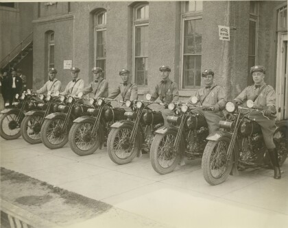
El Paso Police Department Motorcycle detail - 1928
Left to Right: H.J. Williams, Harold Green, E.W. Cockran, Leo ...
El Paso Police Detectives - 1930s
Front row left to right: ?, Maywood Brandon (Drennan), Callie ...
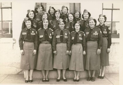
El Paso Police Department Women's Auxiliary Police - 1951 - 1953
El Paso Police Department Jail Matrons - 1951 - 1953 Bottom Row ...
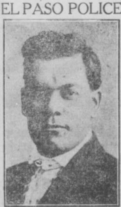
El Paso Police officer Juan Escontrias - 20s
Throughout the 1920s, El Paso's lawmen were frequently the ...
Directing traffic in front of Hotel Orndoff - 1909
El Paso police officer using hand-operated traffic signals ...

