1970 Map of El Paso, Texas
Mapa de El Paso en 1970 El Paso, Texas
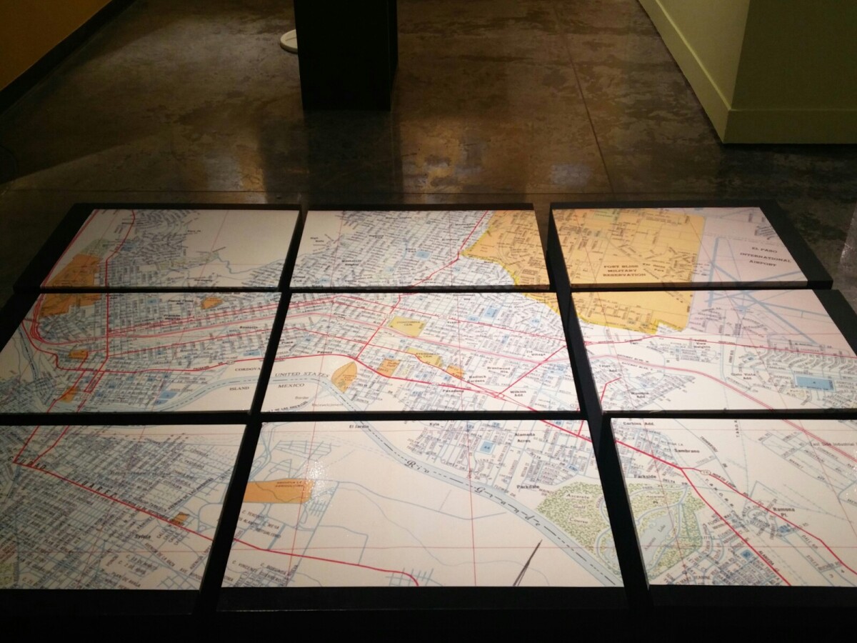
1970 Map of El Paso, Texas
Together these blocks make up a 1970 map of the City of El Paso. The map shows railroad lines and streets. By the 1970's passenger rail service was about to swith to Amtrak.
Report this entry
More from the same community-collection
Southwest University Park Baseball Stadium
Southwest University Park Baseball Stadium firework celebration!
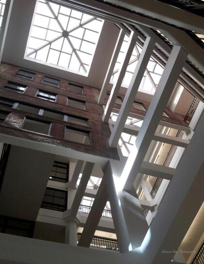
Look up when inside the White House
Take a look at the great architectural design and at the sky ...
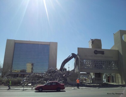
Farewell City Hall and Insights Museum
The start of the demolition of the Insights Museum and City Hall ...
Old advertisement painting Revealed
Look at these old advertisements paintings that were revealed ...
