1970 Map of El Paso, Texas
Mapa de El Paso en 1970 El Paso, Texas
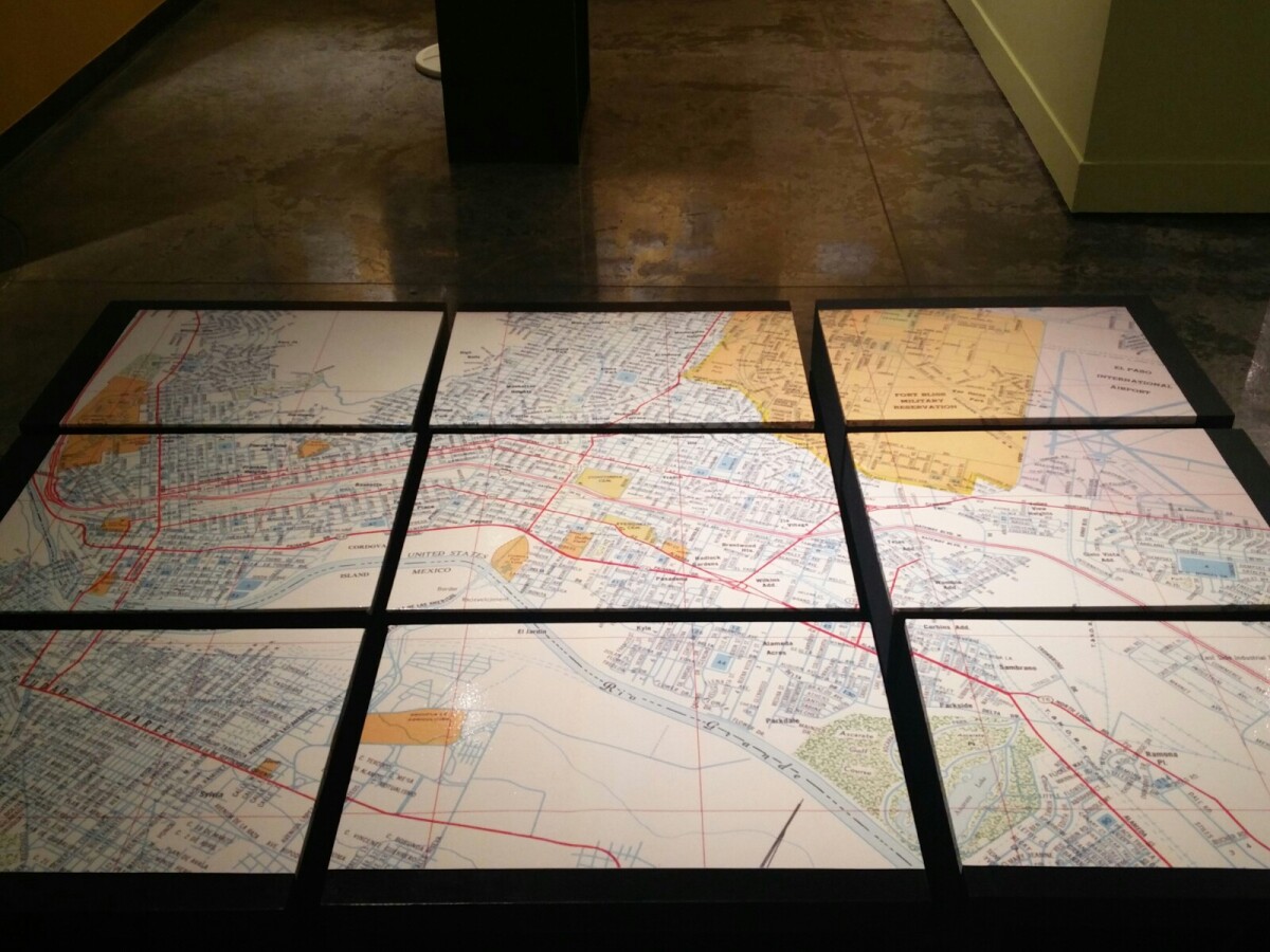
1970 Map of El Paso, Texas
Together these blocks make up a 1970 map of the City of El Paso. The map shows railroad lines and streets. By the 1970's passenger rail service was about to swith to Amtrak.
Report this entry
More from the same community-collection
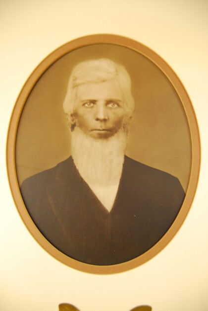
First Mayor - Ben S. Dowell 1873 - 1875
The City of El Paso was incorporated by the Texas Legislature on ...
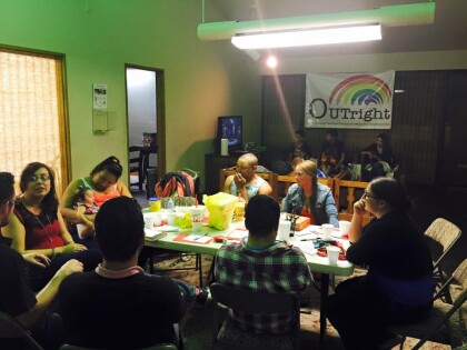
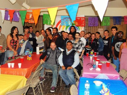
Outright Community Center - El Paso, Texas
Bi-Monthly Event: Drag Bingo - Outright Community Center in El ...
Primera Iglesia Bautista Mexicana
La Primera Iglesia Bautista Mexicana de El Paso, Tx. fue en el ...
Posing with Paydirt Pete and Amigo Man
From left to right are Circle of Giants Co-Chairs Rebecca ...
UTEP Cheerleaders at the Fifth Wall of Giants Exhibit
UTEP Cheerleaders at the grand opening of the Fifth Wall of ...
Visitors at the Fifth Wall of Giants Exhibit
A crowd of visitors gathers to view the Fifth Wall of Giants ...
Visitors Observing the Fifth Wall of Giants Exhibit
Visitors Observing the Fifth Wall of Giants Exhibit which ...
