Pictorial Map of El Paso, Texas and Juarez, Mexico
Mapa pictórico de El Paso, Texas y de Juarez, México
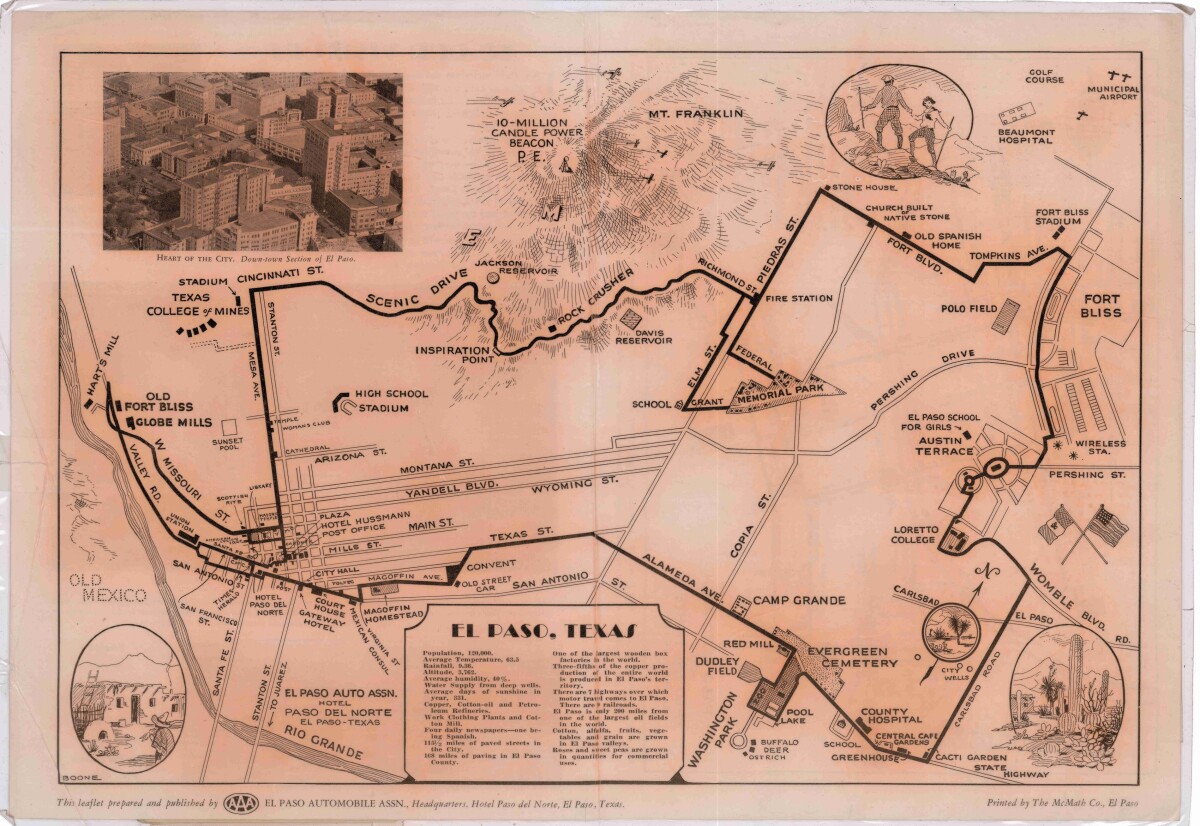
Pictorial Map of El Paso, Texas and Juarez, Mexico
Visitor guide with pictorial map of El Paso, Texas and international cross streets into Juarez, Mexico. Location of places of interest in Juarez, Mexico are noted. Reverse side shows main avenues, streets, historical landmarks, train station, parks, military fort, municipal buildings and colleges. Also notes population statistics; infra-structural, weather and agricultural details.
Report this entry
More from the same community-collection
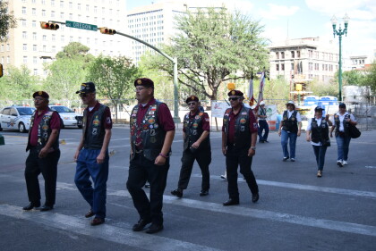
Prospect Street By The Museum
Photo by Dave Quintana circa 2015 shows improvements to Prospect ...
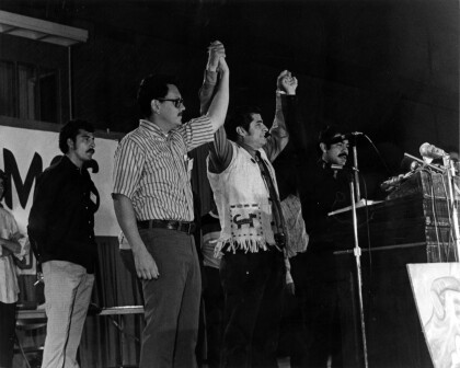
La Raza Unida National Convention, El Paso, Texas 1972
Partido Nacional de La Raza Unida (National United Peoples Party ...
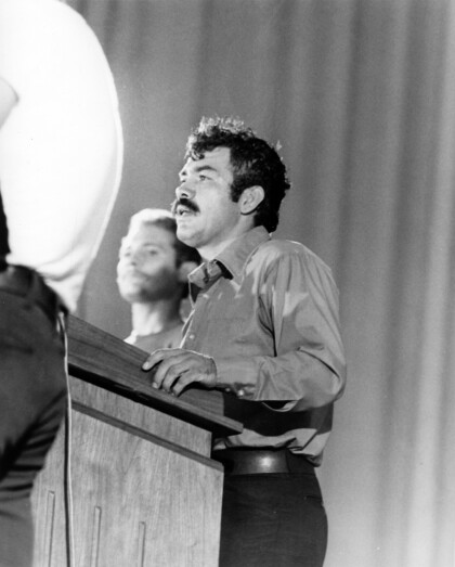
La Raza Unida National Convention, El Paso, Texas 1972
Partido Nacional de La Raza Unida (National United Peoples Party ...
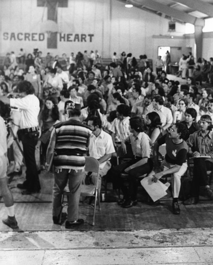
La Raza Unida National Convention, El Paso 1972
Partido Nacional de La Raza Unida (National United Peoples Party ...
Todos somos uno: Omar Villalobos at TEDxElPaso 2013
Omar Villalobos is about counterculture. He is a native of ...
Nah, nah, nah ... It's going to be cool: Jim Ward at TEDxElPaso
Jim Ward is a fifth-generation El Pasoan. He recorded and toured ...
The other side: Monica Lozano at TEDxElPaso
Monica Lozano is a Mexican American photographer born in El ...
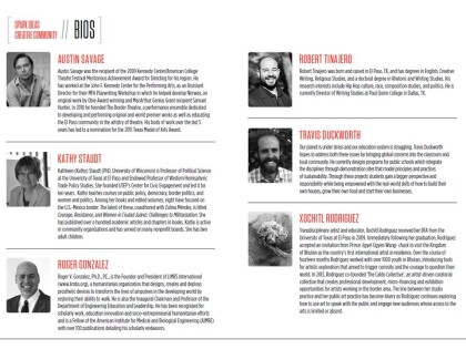
2015 TEDx El Paso Speaker Line-Up (Part 1)
Photos and Bios of the first six speakers lined up for the 2015 ...
The bridge as public space: Carlos Gallinar at TEDxElPaso, Texas
Carlos Gallinar, AICP, CNU-A, serves as the planning director ...

