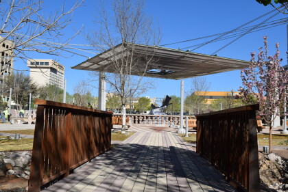
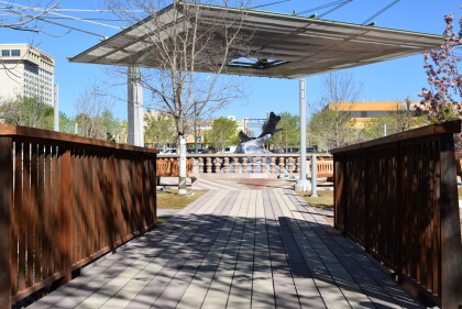
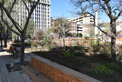
Pictorial Map of El Paso, Texas and Juarez, Mexico
Mapa pictórico de El Paso, Texas y de Juarez, México
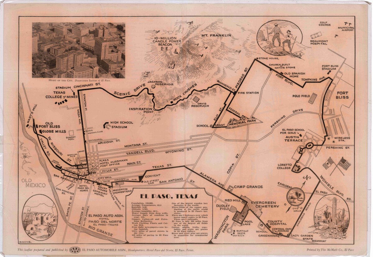
Pictorial Map of El Paso, Texas and Juarez, Mexico
Visitor guide with pictorial map of El Paso, Texas and international cross streets into Juarez, Mexico. Location of places of interest in Juarez, Mexico are noted. Reverse side shows main avenues, streets, historical landmarks, train station, parks, military fort, municipal buildings and colleges. Also notes population statistics; infra-structural, weather and agricultural details.
Report this entry
More from the same community-collection
In jail at the El Paso Children's Exploreum
My children had a lot of fun visiting the Exploreum, and we look ...
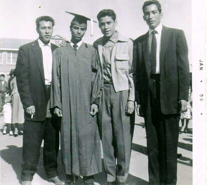
High School Graduation El Paso Texas 1956
Bowie High School El Paso Texas graduates 1956, Felix Rivera ...
DIGIE'S Opening Ceremony - El Paso, Texas 2015
Lisa Heinemann and her husband attending the opening ceremony ...
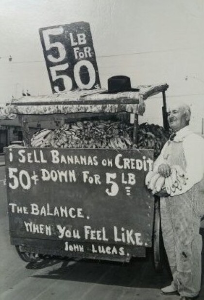
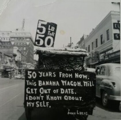
John K. Lucas "The Banana Man" House for Sale 2015
Mr. John K. Lucas was born in Greece and married Ernestina from ...
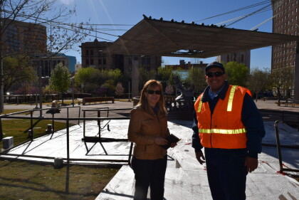
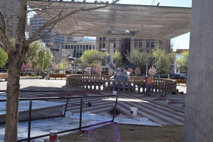
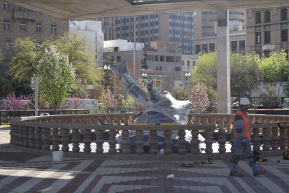
San Jacinto Plaza - 2016 - El Paso, Texas
Opening of the new San Jacinto Plaza is almost ready.Gilbert ...
