Pictorial Map of El Paso, Texas and Juarez, Mexico
Mapa pictórico de El Paso, Texas y de Juarez, México
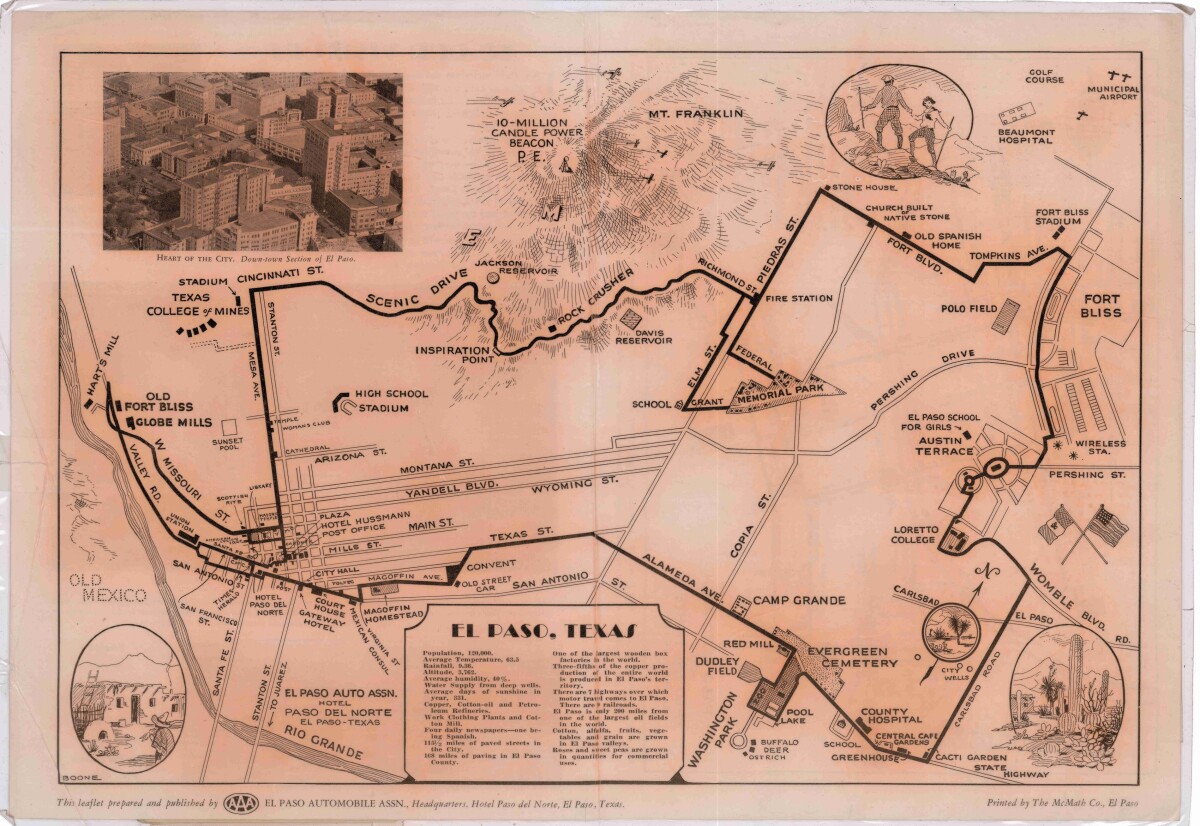
Pictorial Map of El Paso, Texas and Juarez, Mexico
Visitor guide with pictorial map of El Paso, Texas and international cross streets into Juarez, Mexico. Location of places of interest in Juarez, Mexico are noted. Reverse side shows main avenues, streets, historical landmarks, train station, parks, military fort, municipal buildings and colleges. Also notes population statistics; infra-structural, weather and agricultural details.
Report this entry
More from the same community-collection
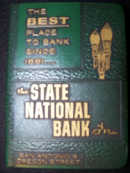
El Paso State National Bank savings book 1950's.
Books used for savings in 1950's at State National Bank El Paso.
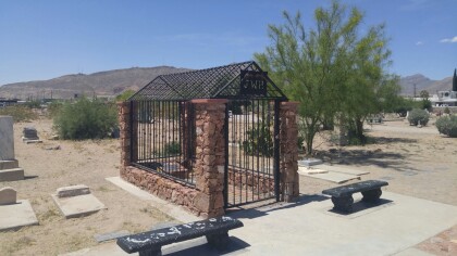
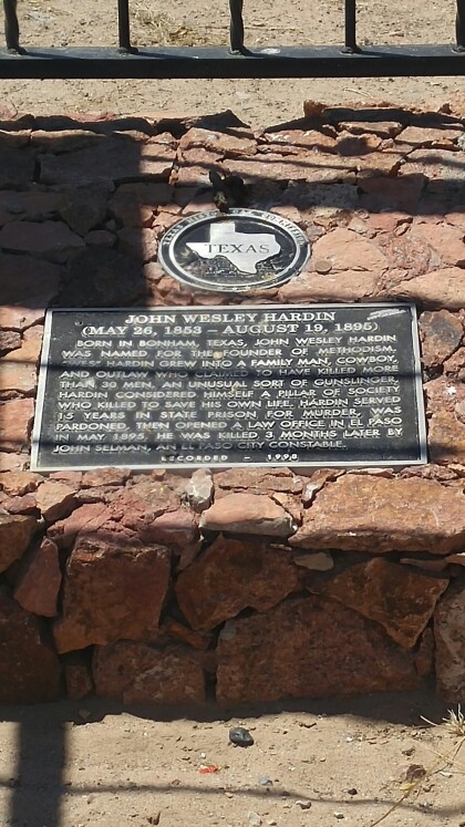
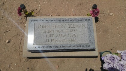
John Wesley Hardin's Grave Marker
John Wesley Hardin's grave marker in Concordia Cemetery. Hardin ...
That one time we were matachines.
My mom forced us to do this and I hated it. Now, I'm glad I did ...
Heaven on Earth - El Paso, Texas
These beautiful flowers located at the downtown mural pathways. ...
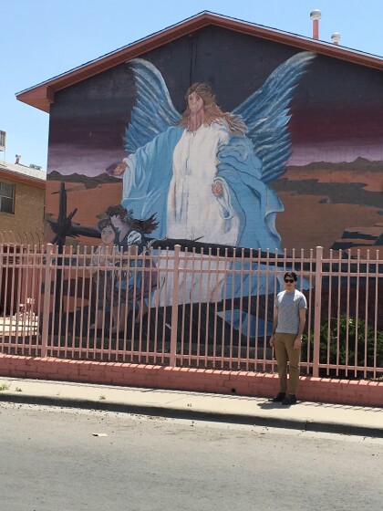
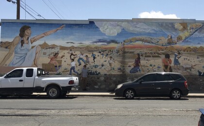
'Reflections of the Desert" walkway mural
This mural represents strength and captures El Paso/Juarez ...
