Pictorial Map of El Paso, Texas and Juarez, Mexico
Mapa pictórico de El Paso, Texas y de Juarez, México
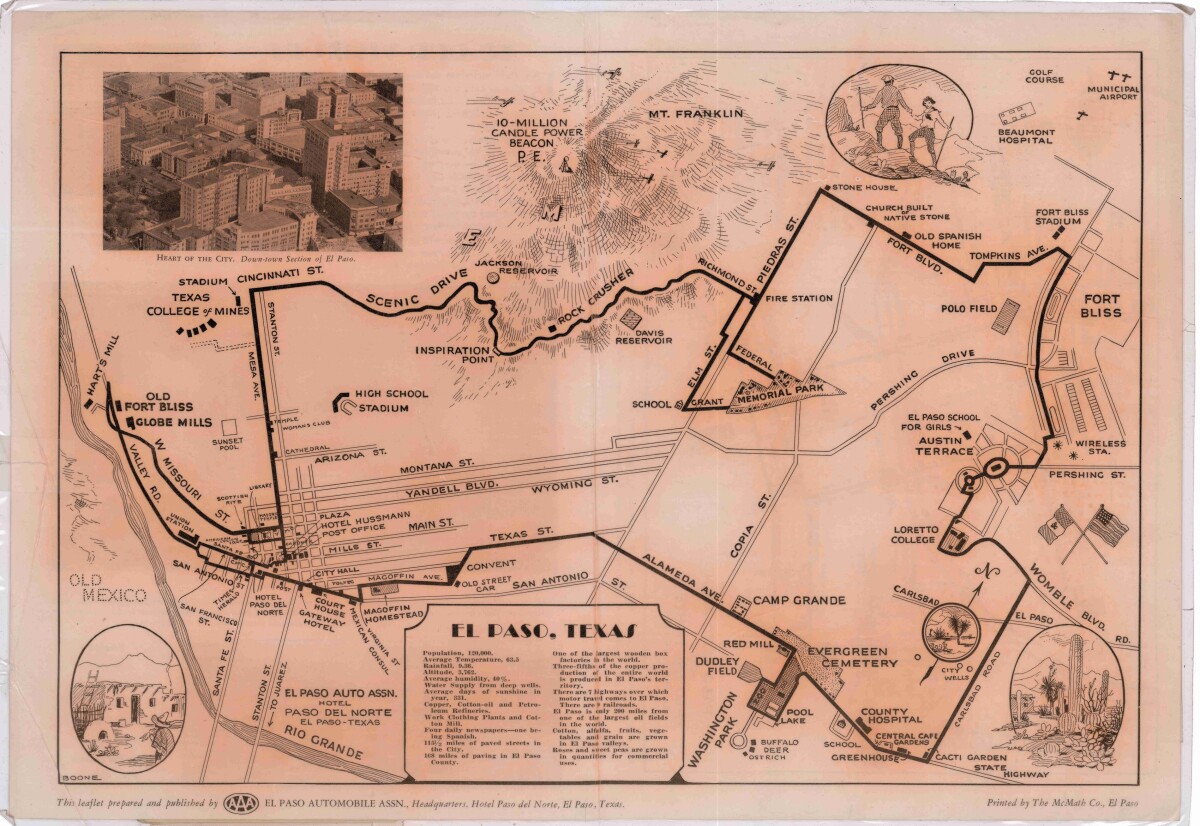
Pictorial Map of El Paso, Texas and Juarez, Mexico
Visitor guide with pictorial map of El Paso, Texas and international cross streets into Juarez, Mexico. Location of places of interest in Juarez, Mexico are noted. Reverse side shows main avenues, streets, historical landmarks, train station, parks, military fort, municipal buildings and colleges. Also notes population statistics; infra-structural, weather and agricultural details.
Report this entry
More from the same community-collection
Leading up to The Bath Riots - 1915-1917
Circa 1915-1917. Mexican citizens crossing into El Paso from ...
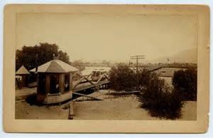
Bridge to cross from Mexico to the United States
Bridge to cross from Mexico to the United States. Juarez Mexico ...
El Paso Ice Hockey Events Center - Home of the Rhinos
This is the El Paso Ice Hockey Events Center where the El Paso ...
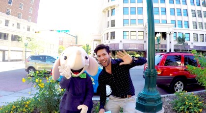
Santosh the Little Elephant is finally here! - El Paso, Texas
Local author, Gilbert-Ian Rueda, presents the character of his ...
El Paso Scottish Rite - El Paso, Texas - 2016
Photograph taken in December 2016 - after the traditional ...
Christmas - 2016 - San Jacinto Plaza
Savannah Appelzoller and Annalyse Appelzoller in front of the ...
Christmas - 2016 - San Jacinto Plaza
Savannah Appelzoller and Annalyse Appelzoller in front of the ...
Christmas - 2016 - San Jacinto Plaza
Savannah Appelzoller and Annalyse Appelzoller in front of the ...
Christmas - 2016 - San Jacinto Plaza
Savannah Appelzoller and Annalyse Appelzoller in front of the ...
Christmas - 2016 - San Jacinto Plaza
Savannah Appelzoller in front of the Christmas Tree during the ...
