Pictorial Map of El Paso, Texas and Juarez, Mexico
Mapa pictórico de El Paso, Texas y de Juarez, México
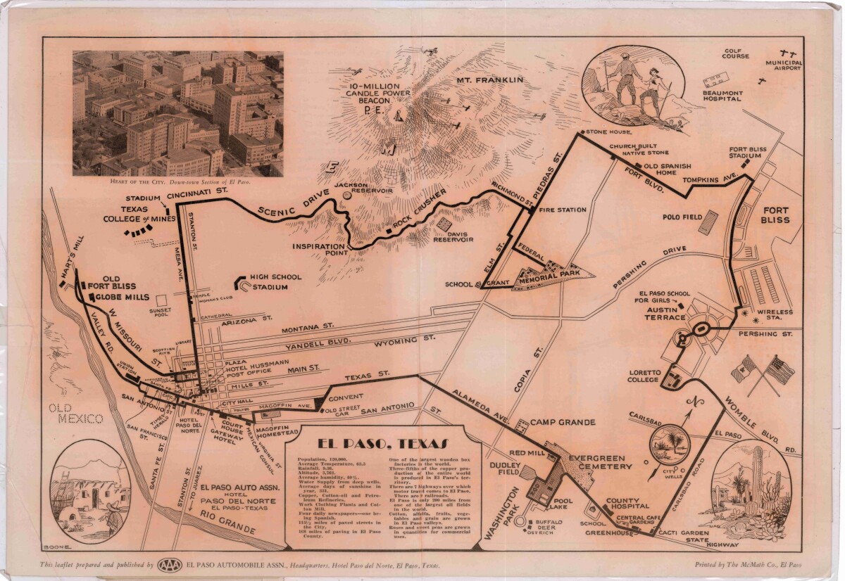
Pictorial Map of El Paso, Texas and Juarez, Mexico
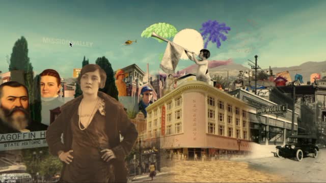
Visitor guide with pictorial map of El Paso, Texas and international cross streets into Juarez, Mexico. Location of places of interest in Juarez, Mexico are noted. Reverse side shows main avenues, streets, historical landmarks, train station, parks, military fort, municipal buildings and colleges. Also notes population statistics; infra-structural, weather and agricultural details.
Report this entry
More from the same community-collection
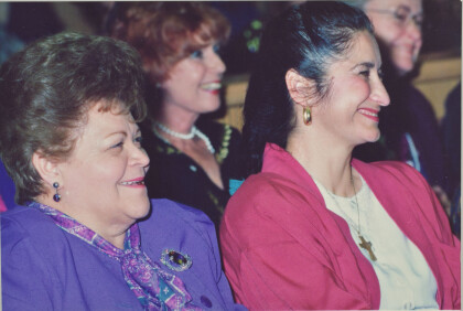
Lucy Acosta, Ingeborg Heuser, Phyllis Armijo - 1991
Lucy Acosta, Ingeborg Heuser, Phyllis Armijo who was active in ...
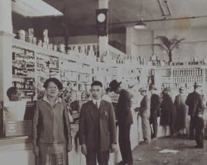
Herlinda Wong Chew - New China Grocery - 1935
Herlinda Wong Chew - New China Grocery - located on Overland ...
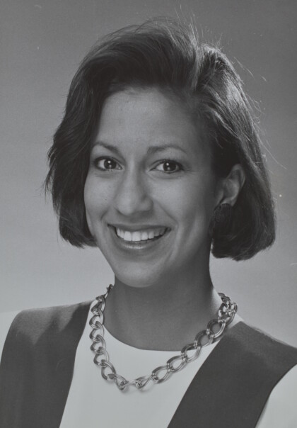
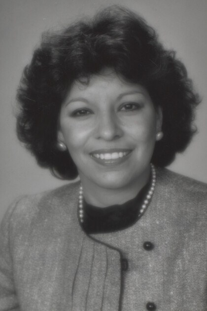
Sylvia Gomez - TV Journalist - circa 1990
Sylvia Gomez - TV Journalist - circa 1990 - in El Paso, Texas
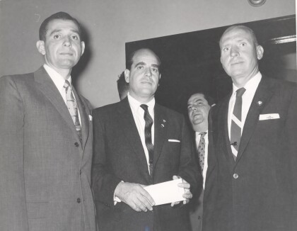
Mayor Carlos Ramirez, Kenna Ramirez
Mayor Carlos Ramirez and wife Kenna Ramirez at event in El Paso, ...
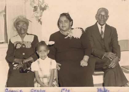
Family picture at church - El Paso, Texas - 1940's
Picture taken at Myrtle Avenue Methodist Church. Names are on ...
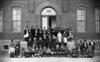
Aoy School Class Picture - 1890 - El Paso, Texas
Photo from the El Paso Independent School District archives ...
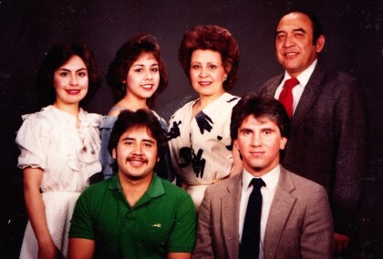
Sanchez Family - 1985 - El Paso, Texas
Sanchez Family - 1985 - one of prominent families of El Paso, ...
Fourth Of July Cityscape - DIGIE-2017 - Video
Short video of the Fourth of July cityscape for the digital ...
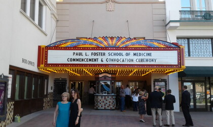
Paul L. Foster School of Medicine - 2017
Paul L. Foster School of Medicine - 2017 - people gather outside ...
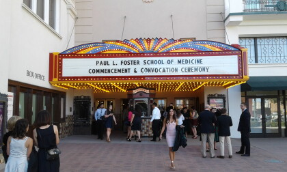
Paul L. Foster School of Medicine - 2017
Paul L. Foster School of Medicine - 2017 - people gather outside ...
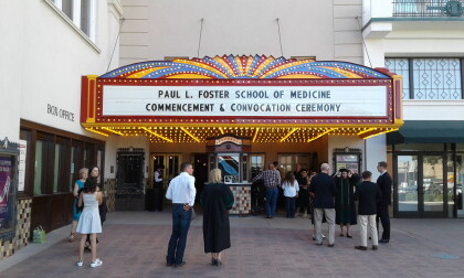
Paul L. Foster School of Medicine Commencement - 2017
Paul L. Foster School of Medicine Commencement - 2017
Paul L. Foster School of Medicine Commencement - 2017
Paul L. Foster School of Medicine Commencement - 2017
