Pictorial Map of El Paso, Texas and Juarez, Mexico
Mapa pictórico de El Paso, Texas y de Juarez, México
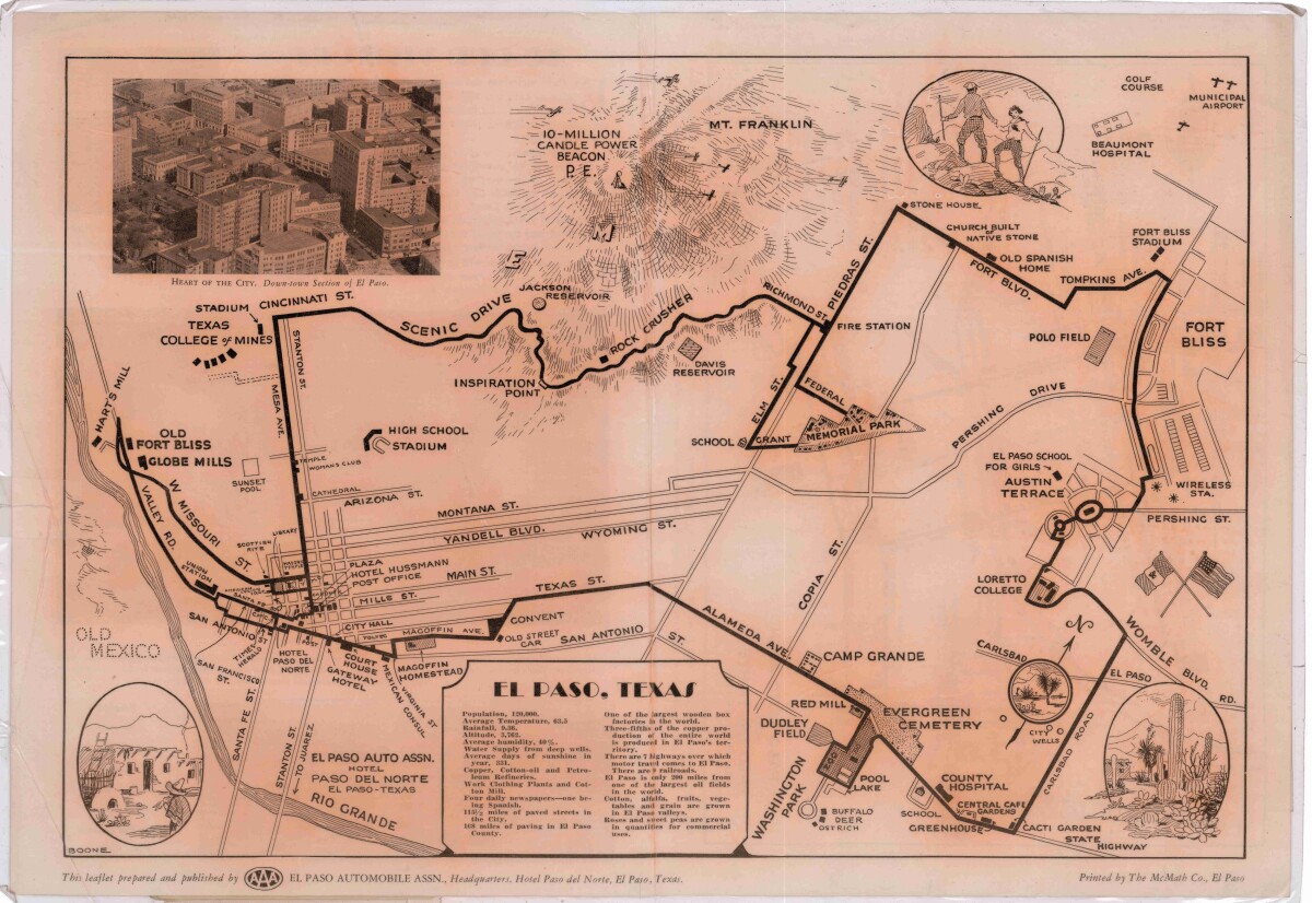
Pictorial Map of El Paso, Texas and Juarez, Mexico
Visitor guide with pictorial map of El Paso, Texas and international cross streets into Juarez, Mexico. Location of places of interest in Juarez, Mexico are noted. Reverse side shows main avenues, streets, historical landmarks, train station, parks, military fort, municipal buildings and colleges. Also notes population statistics; infra-structural, weather and agricultural details.
Report this entry
More from the same community-collection
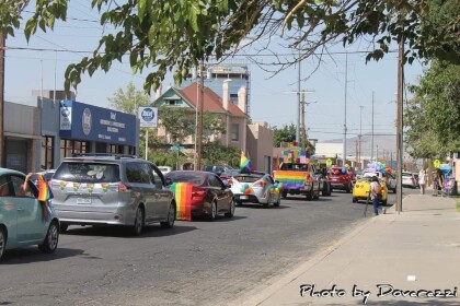
2020 Gay Pride El Paso Social-Distance Parade
Participants of 2020 Gay Pride El Paso Social-Distance Parade on ...
2020 Gay Pride El Paso Social-Distance Parade
Participants of 2020 Gay Pride El Paso Social-Distance Parade on ...
2020 Gay Pride El Paso Social-Distance Parade
Participants of 2020 Gay Pride El Paso Social-Distance Parade on ...
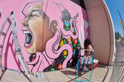
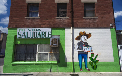
Mural in Progress by Ms. Yellow at Chalk the Block 2019
Visiting mural artist Ms. Yellow works on her mural with spray ...
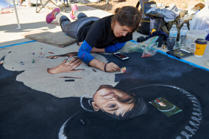
Chalk the Block 2019 Best of Show Winner Andrea Torres
Local artist Andrea Torres works on her 10' X 5' chalk art ...
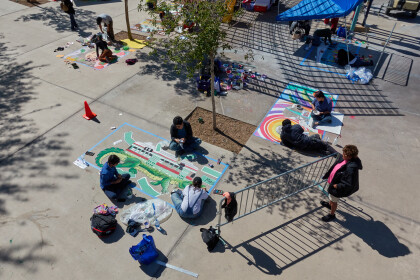
Aerial view of Chalk Artist at Work, Chalk the Block 2019
Aerial view of Chalk Artist at Work, Chalk the Block 2019
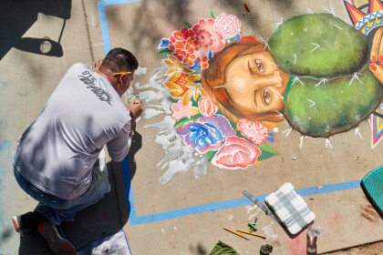
Ramiro Ordonez works on his Chalk Art Entry
Local Artist Ramiro Ordonez works on his Chalk Art Entry for ...
El Paso Lodge No 130, 70 year award.
Masons of El Paso Lodge No. 130 presented the 70 year award to ...
