Pictorial Map of El Paso, Texas and Juarez, Mexico
Mapa pictórico de El Paso, Texas y de Juarez, México
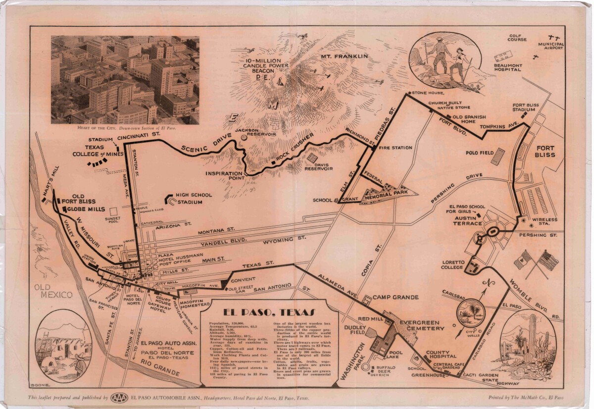
Pictorial Map of El Paso, Texas and Juarez, Mexico
Visitor guide with pictorial map of El Paso, Texas and international cross streets into Juarez, Mexico. Location of places of interest in Juarez, Mexico are noted. Reverse side shows main avenues, streets, historical landmarks, train station, parks, military fort, municipal buildings and colleges. Also notes population statistics; infra-structural, weather and agricultural details.
Report this entry
More from the same community-collection
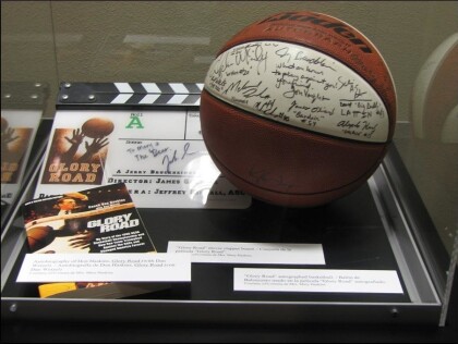
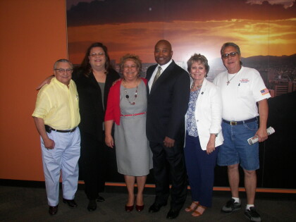
Display case with memorabilia. Mary Haskins & Joe Gomez
Display case with memorabilia. Credit: Mary Haskins and Joe ...
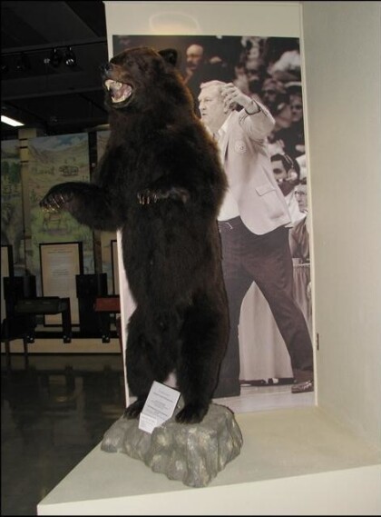
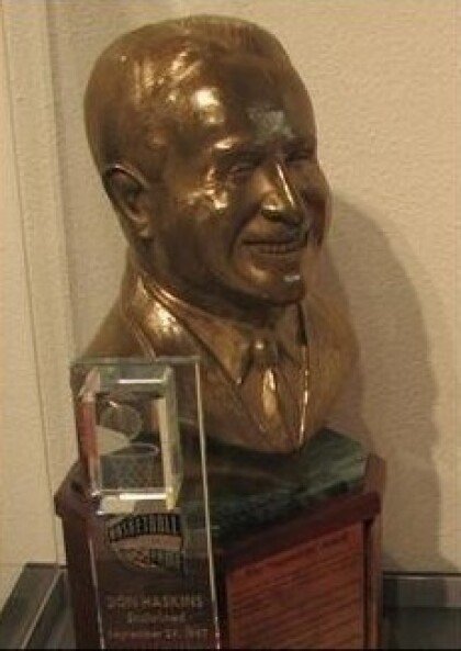
The Bear - nickname given to Don Haskins
The Bear - a nickname given to Don Haskins because of his ...
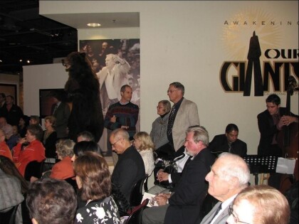
Mary Haskins wife of Don Haskins speaks - EL Paso, Texas
Mary Haskins wife of Don Haskins speaks during El Paso Museum of ...
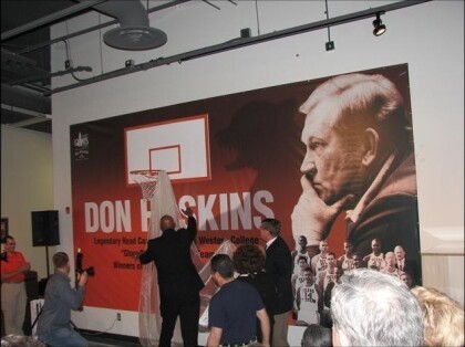
First Wall of Giants - Official unveiling
Official unveiling of El Paso's "First Wall Of Giants" dedicated ...
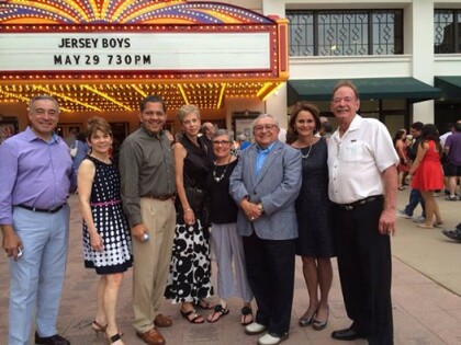
Joe Gomez, Laura Gomez and friends at the Jersey Boys
Friends at the Jersey Boys concert at the Plaza Theater
Arts Festival Plaza - El Paso, Texas
The Arts Festival Plaza is located in the heart of downtown El ...
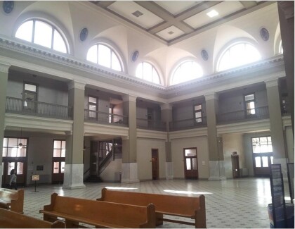
Railroad Union Depot, El Paso, TX circa 2015
Have you ever visited the Downtown Union Plaza? The inside is ...
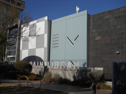
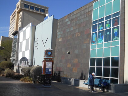
Main (Downtown) Library - El Paso, Texas
Main (Downtown) Library 501 N Oregon entrance. The Downtown ...
El Paso Public Library Downtown Branch
The El Paso Public Library serves the needs the public in El ...
