Pictorial Map of El Paso, Texas and Juarez, Mexico
Mapa pictórico de El Paso, Texas y de Juarez, México
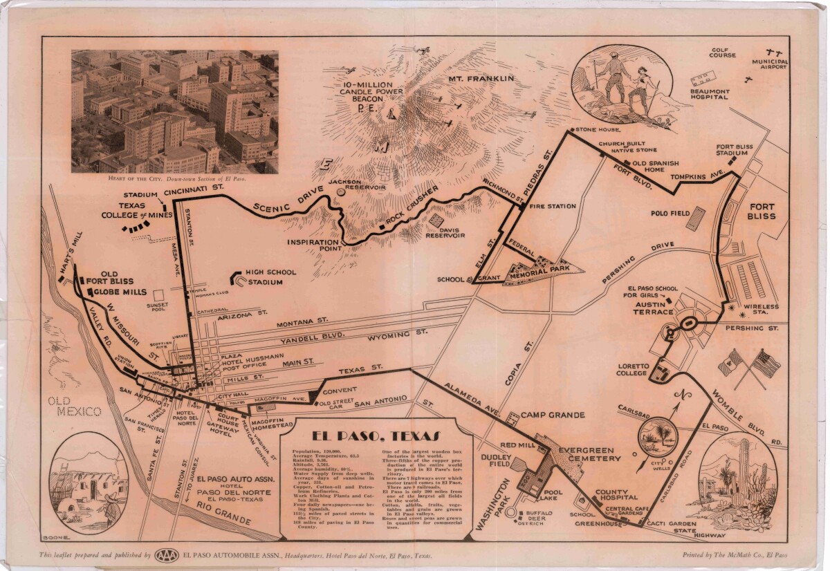
Pictorial Map of El Paso, Texas and Juarez, Mexico
Visitor guide with pictorial map of El Paso, Texas and international cross streets into Juarez, Mexico. Location of places of interest in Juarez, Mexico are noted. Reverse side shows main avenues, streets, historical landmarks, train station, parks, military fort, municipal buildings and colleges. Also notes population statistics; infra-structural, weather and agricultural details.
Report this entry
More from the same community-collection
Member of Six Guns and Shady Bernie Sargent
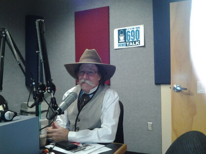
Bernie Sargent Member of Six Gun And Shady Ladies Talkin El ...
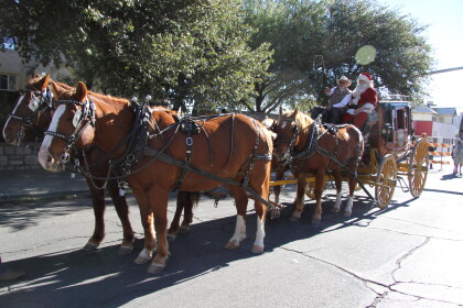
Santa and the El Paso Sheriff's Posse
Sun Carnival Thanksgiving Day Parade and the El Paso Sheriff's ...
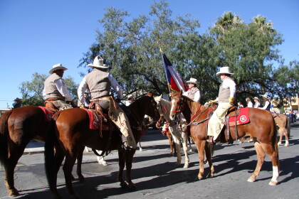
El Paso Sheriff's Posse Getting Ready for the Parade
Several members of the El Paso Sheriff's Posse getting ready for ...
El Paso Sheriff's Posse Getting Ready for the Parade
Pat Gordon and his horse Trigger getting ready for the 2014 Sun ...
2014 Walk-A-Mile In Her Shoes Event
The El Paso Sheriff's Posse members traded their cowboy boots ...
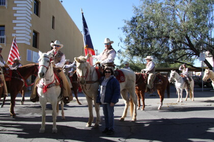
El Paso Sheriff's Posse and the 2014 Walk-A-Mile Event
Several El Paso Sheriff's Posse members gather together before ...
