Pictorial Map of El Paso, Texas and Juarez, Mexico
Mapa pictórico de El Paso, Texas y de Juarez, México
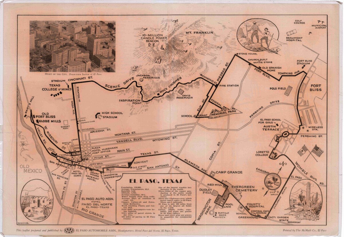
Pictorial Map of El Paso, Texas and Juarez, Mexico
Visitor guide with pictorial map of El Paso, Texas and international cross streets into Juarez, Mexico. Location of places of interest in Juarez, Mexico are noted. Reverse side shows main avenues, streets, historical landmarks, train station, parks, military fort, municipal buildings and colleges. Also notes population statistics; infra-structural, weather and agricultural details.
Report this entry
More from the same community-collection
A great time at the first day of the Chihuahuas for 2015
April 14,2015 Chihuahuas against Remo. Unfortunately, we lost ...
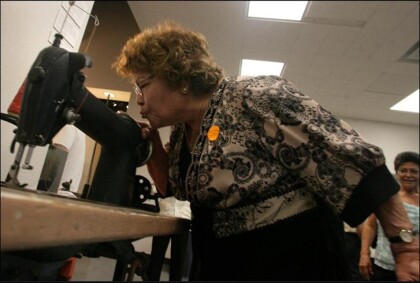
Teresa Aguirre, former Farah employee
Teresa Aguirre, 81, bends down to kiss the Singer 241-12 ...
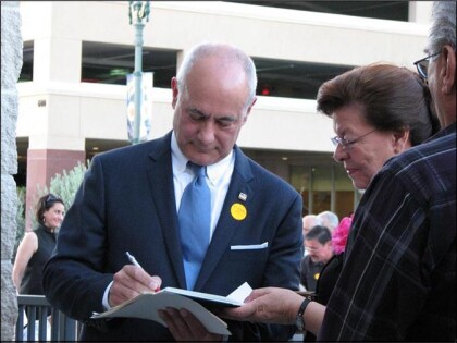
Jim Farah autographing the book about his father
Jim Farah autographing the book, " Willie Farah the ...
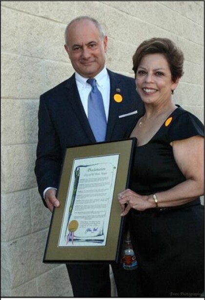
Jim Farah and City Representative Emma Acosta
Farah and City Representative Emma Acosta holding the City ...
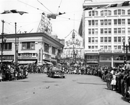
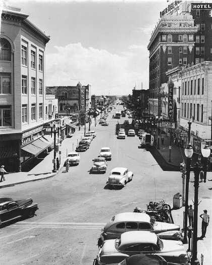
El Paso Street in 1940s - El Paso, Texas
The image shows El Paso Street in the 1940s. To the right, the ...
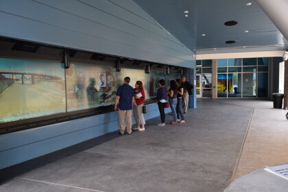
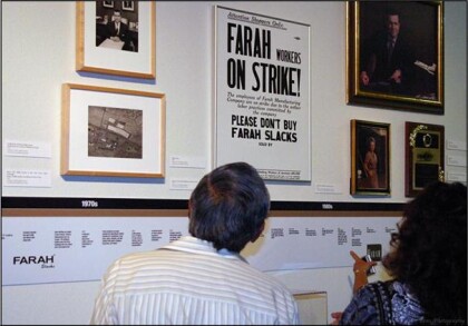
Looking at the Farah Manufacturing Timeline
Looking at the Farah Manufacturing Timeline: Inside of the ...
