El Paso (P-4) Sectional Aeronautical Chart
Tabla Aeronáutica Seccional El Paso (P-4)
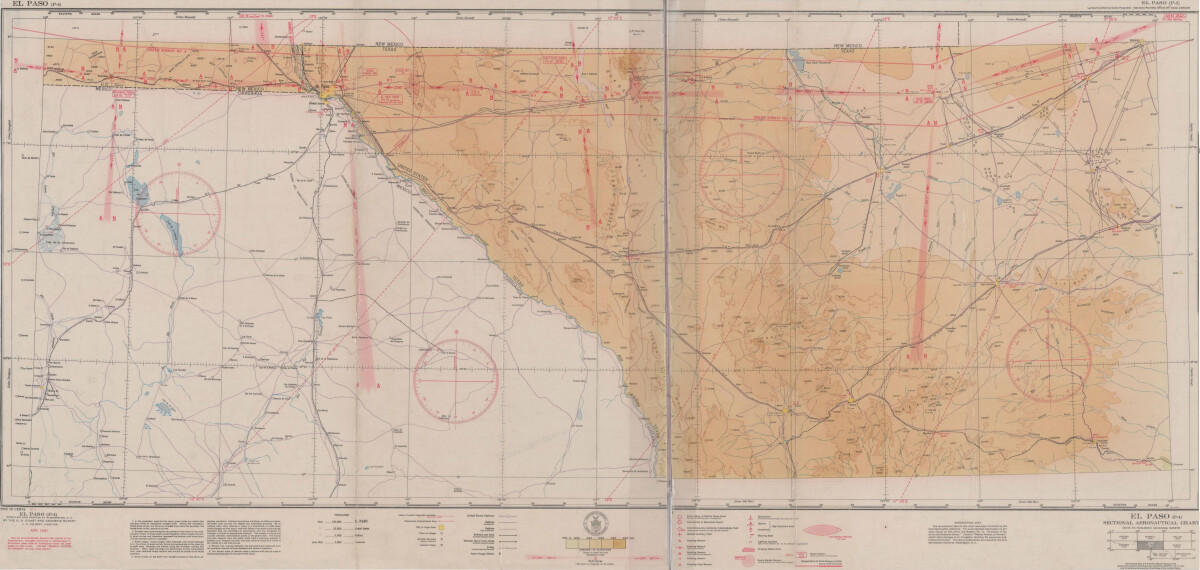
El Paso (P-4) Sectional Aeronautical Chart
Published in April, 1941, this aeronautical map indicates the "shortest and most direct courses between points in question". Population statistics for El Paso, Midland, Sanderson, Texas; and Ciudad Juarez, Mexico are provided. The legend includes symbols for army, navy and marine corps fields; commercial and municipal airports; lighting facilities and airspace reservations.
Report this entry
More from the same community-collection
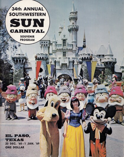
Cover of the 34th Annual Southwestern Sun Carnival Program
Since 1936, New Years in El Paso has been rung in by the Sun ...
DIGIE - Award for Technology Competition
Jamie Knoedler, Community Engagement Coordinator receives an ...
George Maloof III - Curator of Archaeology Museum
George Maloof III. - Curator of Archaeology Museum - El Paso, ...
Ruben Gonzalez -Honored Veterans Day - 2015
Ruben Gonzalez -Honored Veterans Day - 2015. Streets and ...
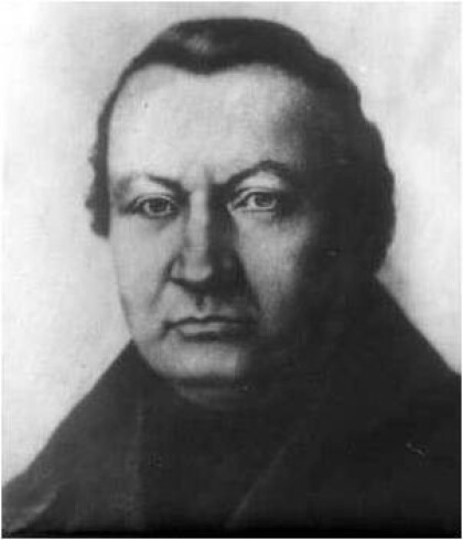
Father Nerinckx founder of the Sisters of Loretto
Rev. Charles Nerinckx was a Roman Catholic missionary priest ...
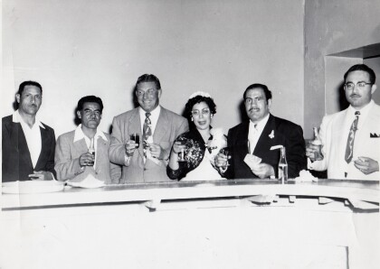
Herminia and Ray Duran's Wedding Toast
Herminia Cardiel Duran and Ray Duran toast alongside area ...
Herminia and Ray Duran's Wedding Toast
Herminia and Ray Duran toast as newlyweds next to Herminia's ...
