Plat of the Town of El Paso
Plano del Pueblo de El Paso
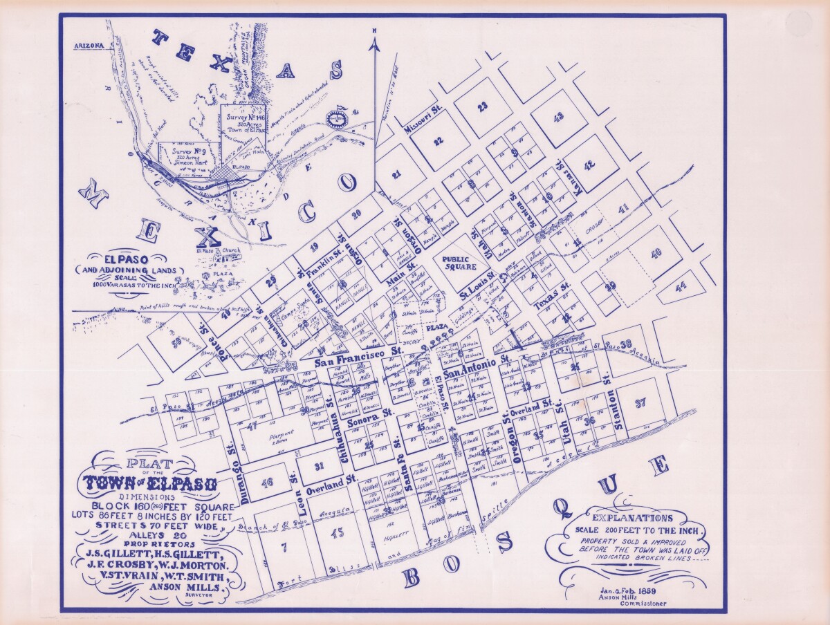
Plat of the Town of El Paso
Plat map of the Town of El Paso (Texas); includes dimensions for lots, streets, alleys; an inset with topographical representations; Scale of adjoining lands is 1000 to the inch; Explanations scale is 200 feet to the inch; Survey details and Acequia (canal) lines shown.
Report this entry
More from the same community-collection
Singer and Piano Player at a Church
A singer and piano player, as well as other members of a church. ...
Congregation at Presumed Bethlehem Temple Church
Congregation at what is presumed to be Bethlehem Temple Church. ...
Congregation at Presumed Bethlehem Temple Church
Congregation at what is presumed to be Bethlehem Temple Church. ...
Congregation at Presumed Bethlehem Temple Church
Congregation at what is presumed to be Bethlehem Temple Church. ...
Children Congregated at Presumed Bethlehem Temple Church
Children's congregation at what is presumed to be Bethlehem ...
Congregation at Presumed Bethlehem Temple Church
Congregation at what is presumed to be Bethlehem Temple Church. ...
Members of Presumed Bethlehem Temple Church
Faithful service as musician, choir director, Sunday school ...
Brief History of The Links, Incorporated - 1946
El Paso (TX) Chapter, The Links, Incorporated. Brief History of ...
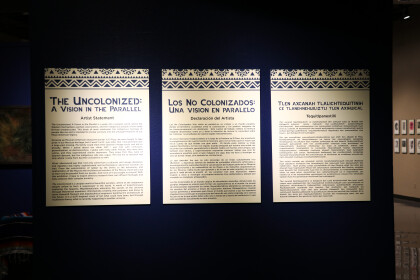
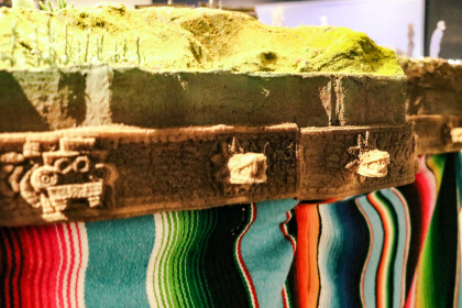
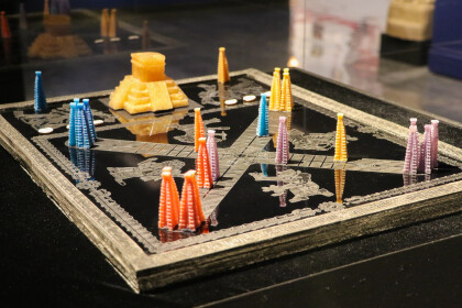
The Uncolonized: A Vision in the Parallel Virtual Exhibition
Created by local artist Angel Cabrales, “The Uncolonized” is ...
The Uncolonized: A Vision in the Parallel Virtual Exhibition
Created by local artist Angel Cabrales, “The Uncolonized” is ...
The Uncolonized: A Vision in the Parallel Virtual Exhibition
Angel Cabrales
Macuahuitl (Sedimentary ...
The Uncolonized: A Vision in the Parallel Virtual Exhibition
Angel Cabrales
Xiuhpōhualli Anomala , ...
The Uncolonized: A Vision in the Parallel Virtual Exhibition
Angel Cabrales
Teoquiyaoatl (Sacred ...
The Uncolonized: A Vision in the Parallel Virtual Exhibition
Angel Cabrales
Apoteosis del Olmequemista, ...
The Uncolonized: A Vision in the Parallel Virtual Exhibition
Angel Cabrales
Apoteosis del Aztecnonauta, ...
The Uncolonized: A Vision in the Parallel Virtual Exhibition
Angel Cabrales
Codex of the Interplanetary ...
The Uncolonized: A Vision in the Parallel Virtual Exhibition
Angel Cabrales
Center
Textile del la ...
The Uncolonized: A Vision in the Parallel Virtual Exhibition
Angel Cabrales
Naciones Unidas de Anáhuac, ...
The Uncolonized: A Vision in the Parallel Virtual Exhibition
Angel Cabrales
Naciones Unidas de Anáhuac ...
The Uncolonized: A Vision in the Parallel Virtual Exhibition
Angel Cabrales
Naciones Unidas de Anáhuac ...
The Uncolonized: A Vision in the Parallel Virtual Exhibition
Angel Cabrales
La Piñata Cosmica, 2019
...

