County Map of Texas
Mapa de Condados de Texas
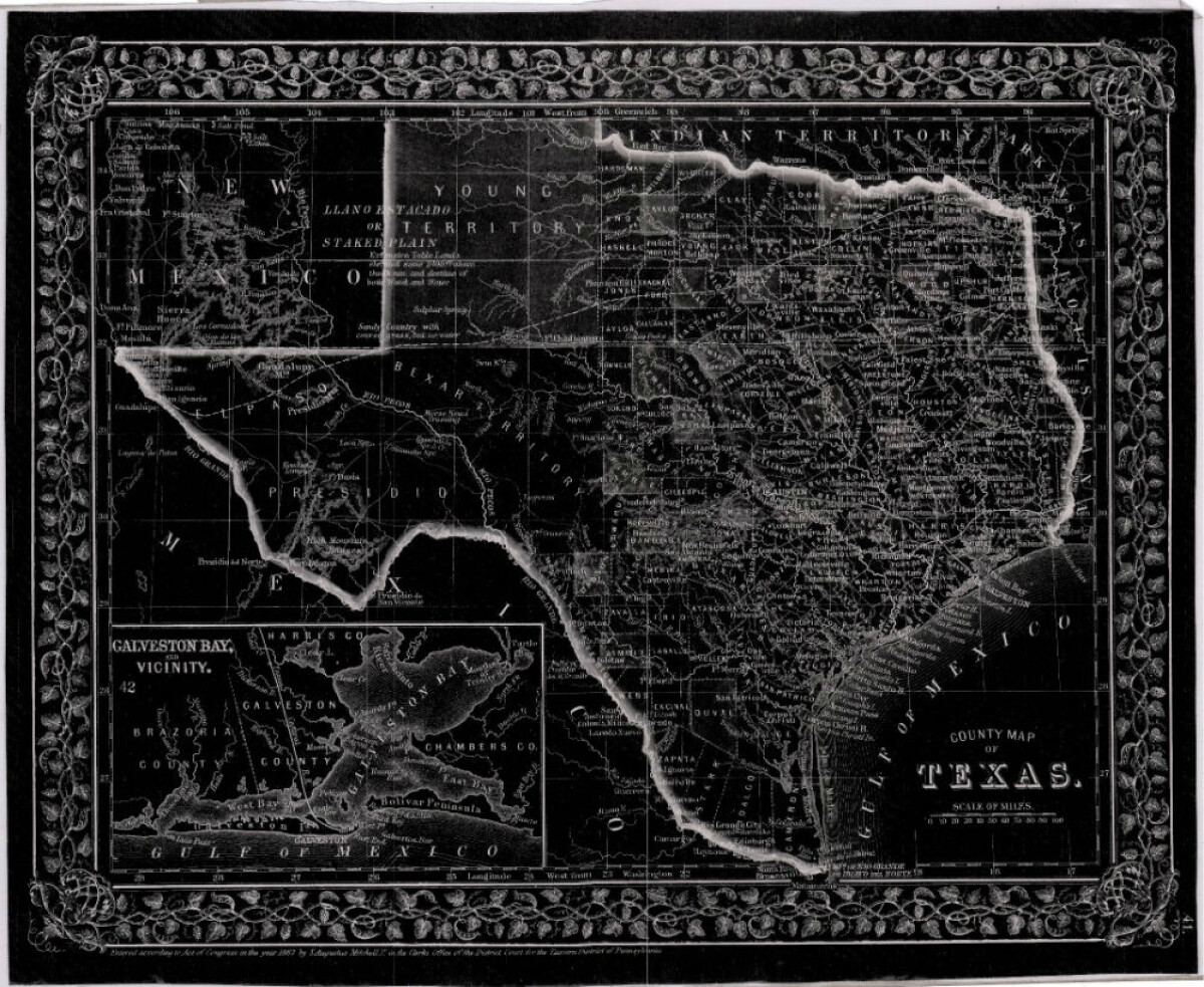
County Map of Texas
This is a county map of Texas represented in black, white and dark gray shades. This map includes an inset of Galveston Bay and the vicinity. Bordering states of New Mexico, Arkansas, and Louisiana and the country of Mexico are indicated. Topographical features-rivers, rios, mountains and bays are shown; and slight shading differences define neighboring counties. Chief cities and towns are indicated.
Report this entry
More from the same community-collection
Polo Team, Troop "B" Va. Cav., Anniston, Alabama
Lt. Col. Featherstone served in the Virginia National Guard, and ...
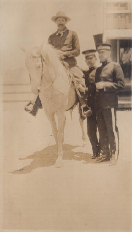
A "Bad Man" at Albuquerque, New Mexico
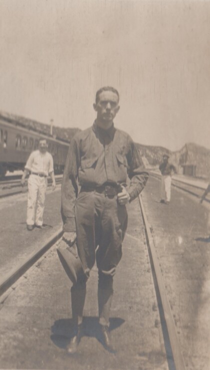
In 1915, the Richmond Light Infantry took a train trip to ...
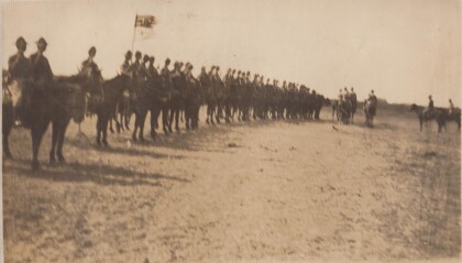
Inspection, B Troop, Virgina Cavalry
Lt. Col. Featherstone was First Sergeant, then 2nd Lieutenant, ...
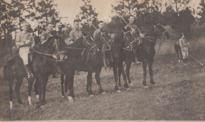
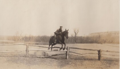
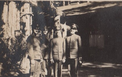
Capt. Puller [sic], Virginia Cavalry
The Virginia Cavalry was a National Guard unit that served on ...




![Capt. Puller [sic], Virginia Cavalry](https://www.digie.org/media_cache/27601/27601_latest_upload.jpg)
