County Map of Texas
Mapa de Condados de Texas
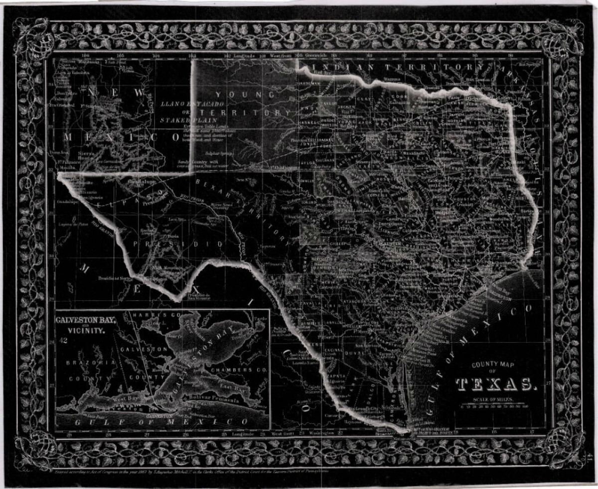
County Map of Texas
This is a county map of Texas represented in black, white and dark gray shades. This map includes an inset of Galveston Bay and the vicinity. Bordering states of New Mexico, Arkansas, and Louisiana and the country of Mexico are indicated. Topographical features-rivers, rios, mountains and bays are shown; and slight shading differences define neighboring counties. Chief cities and towns are indicated.
Report this entry
More from the same community-collection
Fernando Villela - Vietnam - 1969
"Leisure time back in camp, displaying my "short" walking cane ...
Secret War Dogs In Vietnam - 1960 - 1969
Photograph - was presented by Chuck Steward who was a member of ...
Cpl. Victor A. Flores - Vietnam - 1969
"I graduated from Bel Air High School and was 19 years old, when ...
Robert Lewis Hall - Vietnam - 1966
SP4 Hall, Robert Lewis Robert (Bob-o) Lewis Hall was born and ...
After Vietnam - Fernando Villela - 1973
"After Vietnam - Celebrating Life"! "Got out in December 1971 ...
Jose Antonio "Tony" Garcia - Vietnam - 1968
"My name is Jose Antonio "Tony" Garcia, and I am a native El ...
Sgt. Jesus R. Vasquez - Vietnam - 1965
Jesus Roberto Vasquez went to San Juan Elementary School (now ...
Jesus Roberto Vasquez - Marine - 1965
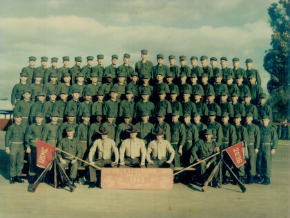
Jesus Roberto Vasquez's Platoon in training camp - Jesus Roberto ...
