County Map of Texas
Mapa de Condados de Texas
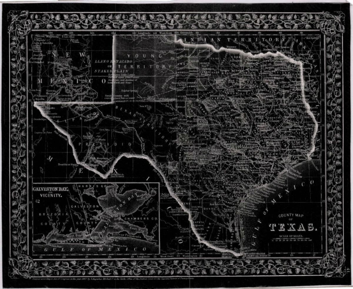
County Map of Texas
This is a county map of Texas represented in black, white and dark gray shades. This map includes an inset of Galveston Bay and the vicinity. Bordering states of New Mexico, Arkansas, and Louisiana and the country of Mexico are indicated. Topographical features-rivers, rios, mountains and bays are shown; and slight shading differences define neighboring counties. Chief cities and towns are indicated.
Report this entry
More from the same community-collection
Smoke Free Anthony, Texas - 2017
Passing of a smoke-free ordinance in Anthony, Texas on Monday, ...
Family Photograph - Texas State University
Leaving my brother at his school - Texas State University.
1970 Jorge & Rosa Angulo's honeymoon in Guatemala.
1970 Jorge & Rosa Angulo's honeymoon in Guatemala. Picture taken ...
Carlota, Hermila & Perla circa 1938
Taken in front of the monument to the Revolution, Mexico City; ...
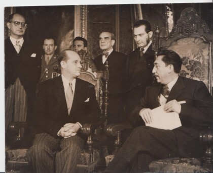
1952 Ramiro Gereda-Aleman - El Paso, Texas
Ramiro Gereda Asturias presenting credentials as ambassador to ...
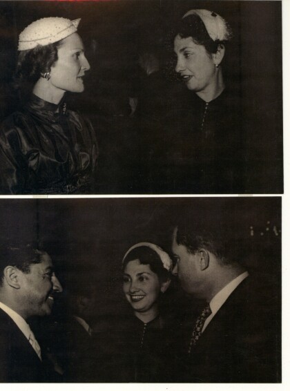
Lucy Alvarez w/ Pat Nixon & Richard Nixon, Mexico 1954
Lucy Alvarez with Pat and Ridchard Nixon during their visit to ...
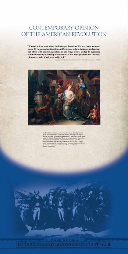
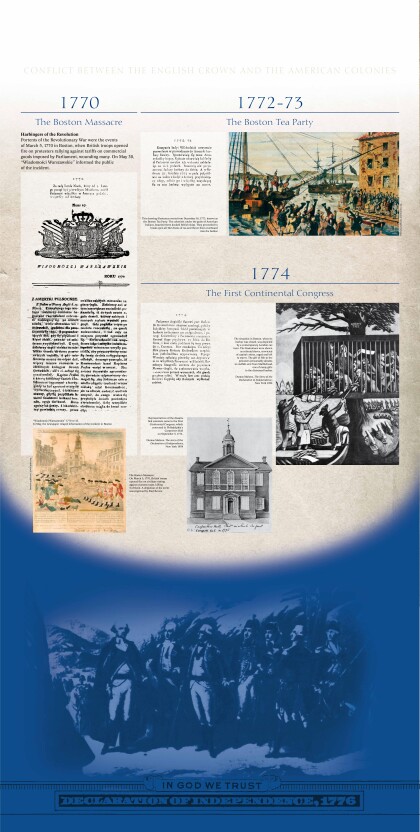
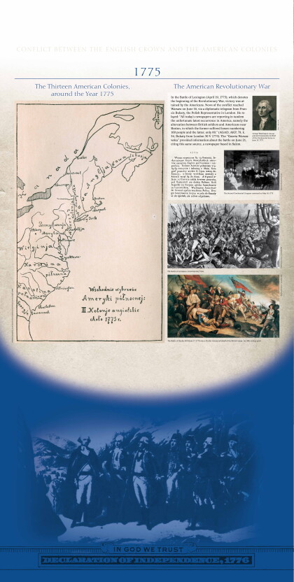
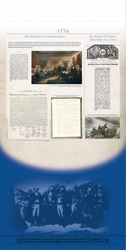
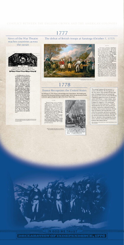
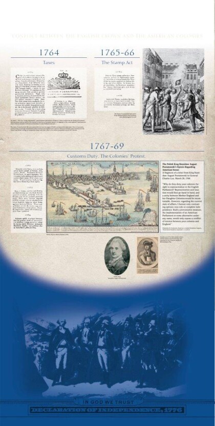
Exhibit provided by Polish American Society 2014
Title panel - US in Polish Historiography and Periodicals ...


