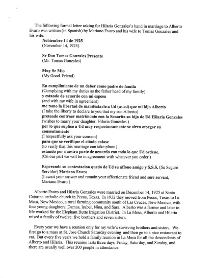
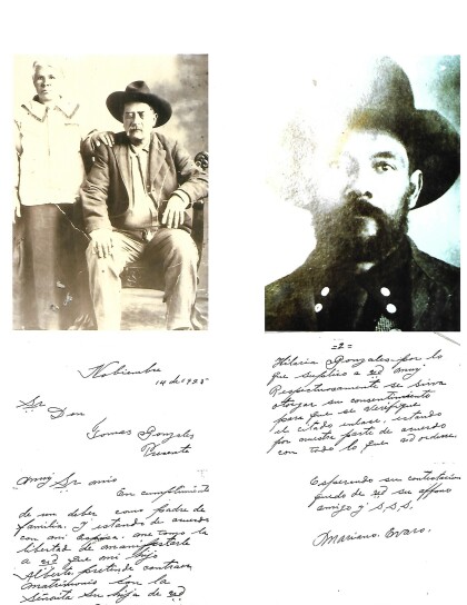
County Map of Texas
Mapa de Condados de Texas
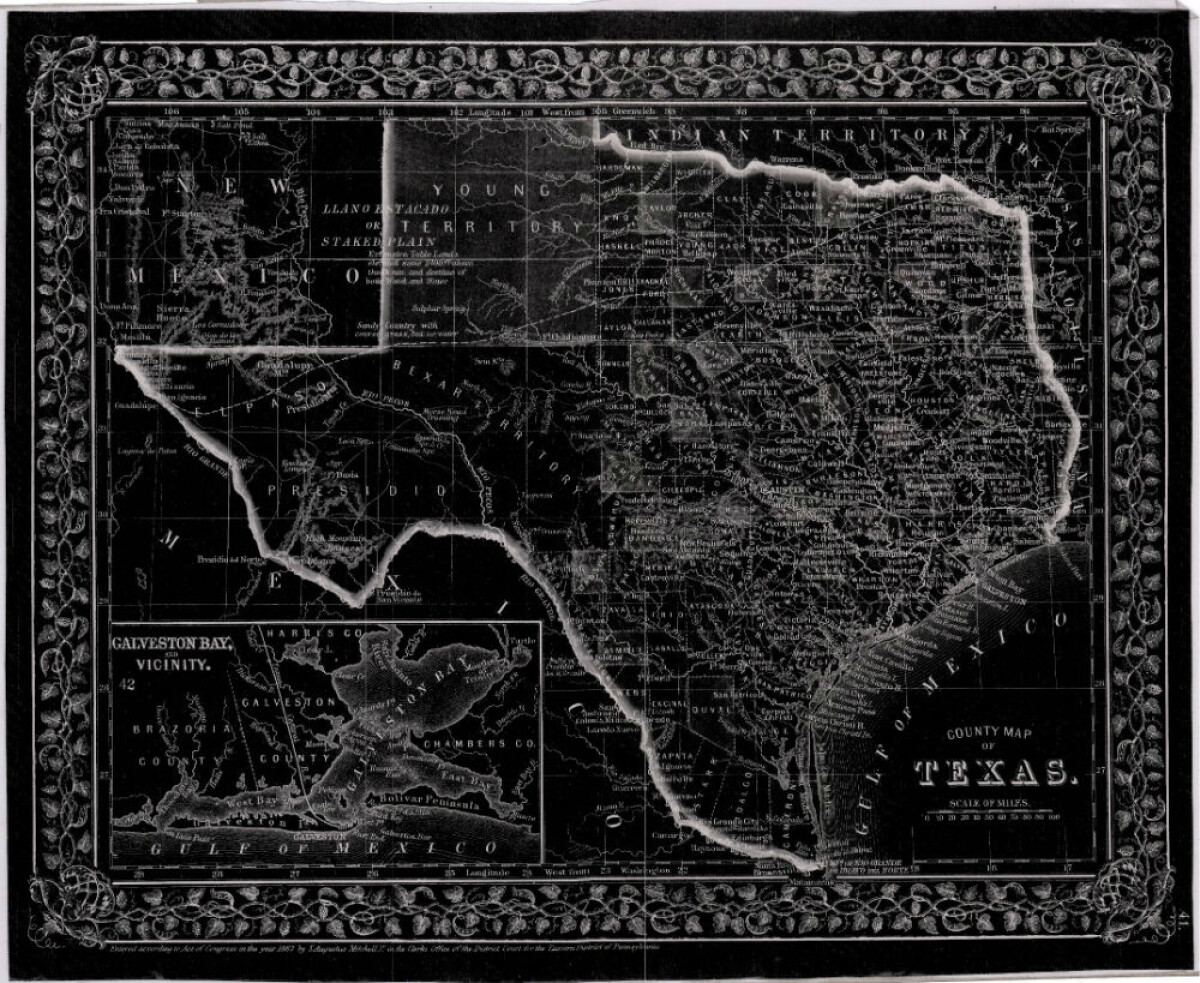
County Map of Texas
This is a county map of Texas represented in black, white and dark gray shades. This map includes an inset of Galveston Bay and the vicinity. Bordering states of New Mexico, Arkansas, and Louisiana and the country of Mexico are indicated. Topographical features-rivers, rios, mountains and bays are shown; and slight shading differences define neighboring counties. Chief cities and towns are indicated.
Report this entry
More from the same community-collection
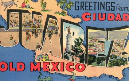
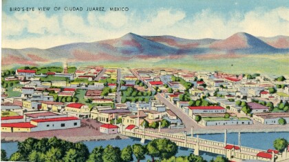
Juarez bird's-eye view postcard
This postcard from the 1940s is a scene of Juarez, Mexico. The ...
Katherine A. Mullings - University of Texas
Katherine A. Mullings - University of Texas - Graduation - May ...
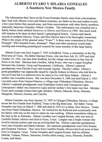
George A Sanchez and Jesusita (kila) Evaro Sanchez
Wedding photograph and 50th anniversary photograph of George A. ...
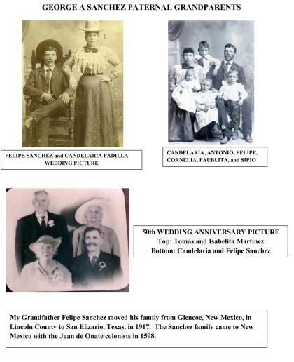
George A. Sanchez Paternal Grandparents
George A. Sanchez grandfather, Felipe Sanchez, moved his family ...
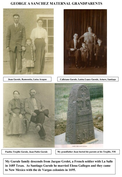
George A. Sanchez Maternal Grandparents
The Gurule family descends from Jacque Grolet, a french soldier ...

