Map of Texas and Adjacent Regions in the Eighteenth Century
Mapa de Texas y regiones adyacentes en el siglo dieciocho
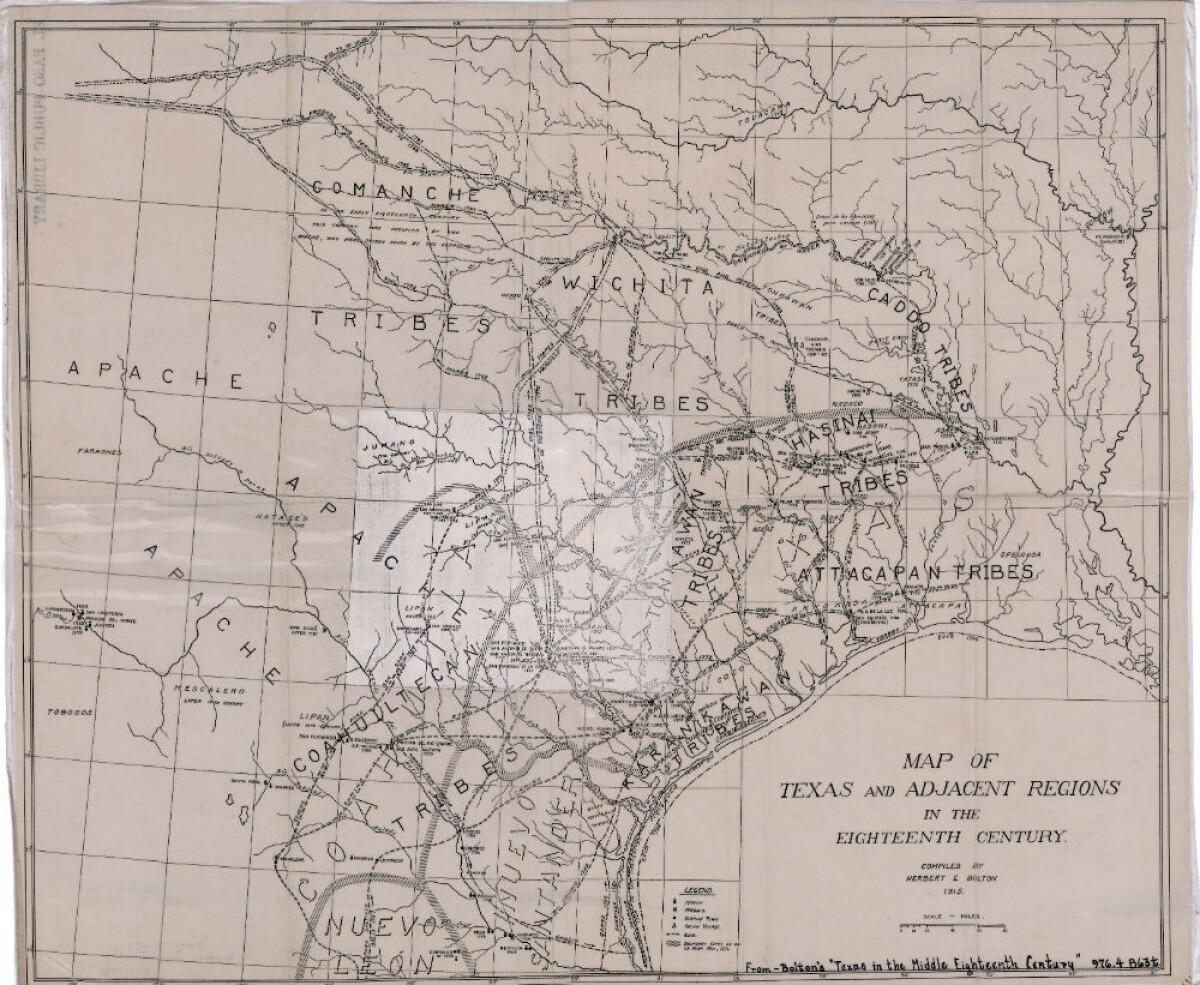
Map of Texas and Adjacent Regions in the Eighteenth Century
Map of Texas and the adjacent regions illustrating missions, presidios, Spanish towns, Indian villages, rivers, roads and boundary lines. Indian tribe names are shown in their areas of concentration.
Report this entry
More from the same community-collection
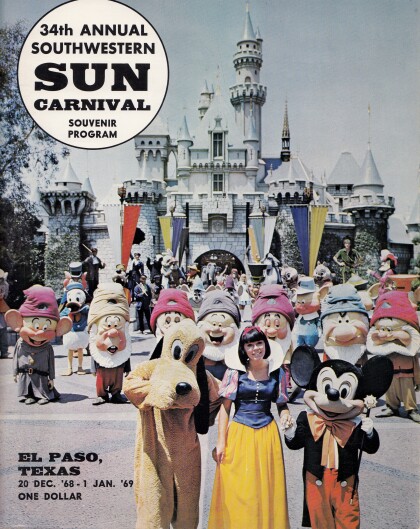
Cover of the 34th Annual Southwestern Sun Carnival Program
Since 1936, New Years in El Paso has been rung in by the Sun ...
DIGIE - Award for Technology Competition
Jamie Knoedler, Community Engagement Coordinator receives an ...
George Maloof III - Curator of Archaeology Museum
George Maloof III. - Curator of Archaeology Museum - El Paso, ...
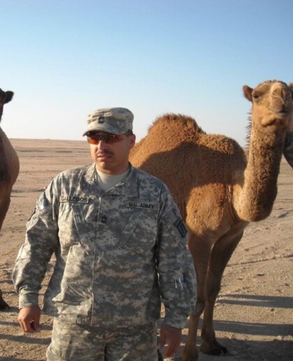
Ruben Gonzalez -Honored Veterans Day - 2015
Ruben Gonzalez -Honored Veterans Day - 2015. Streets and ...
Father Nerinckx founder of the Sisters of Loretto
Rev. Charles Nerinckx was a Roman Catholic missionary priest ...
Herminia and Ray Duran's Wedding Toast
Herminia Cardiel Duran and Ray Duran toast alongside area ...
Herminia and Ray Duran's Wedding Toast
Herminia and Ray Duran toast as newlyweds next to Herminia's ...
