Map of Texas
Mapa de Texas
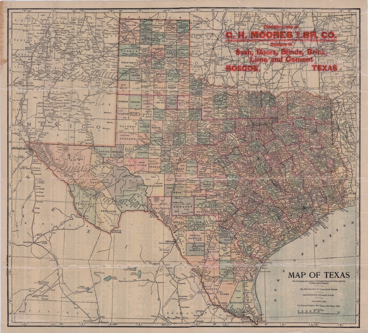
Map of Texas
This map of Texas includes colored divisions of counties with principal cities and towns. Congressional districts are outlined. Bordering states, cities, country and gulf information is shown. Reverse side contains population statistics for all principal cities and towns shown on pictorial map.
Report this entry
More from the same community-collection
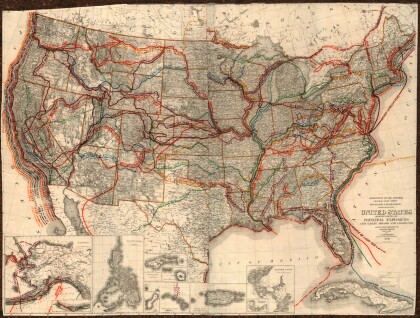
United States - Routes of Principal Explorers
This United States map colorfully illustrates routes taken by ...
Map of the Rio Grande El Paso-Juarez Valley circa 1930
This map illustrates the river path between El Paso, Texas and ...
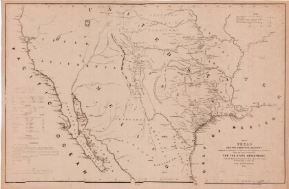
Map of Texas and the Countries Adjacent
This map of Texas and its adjacent countries was compiled for ...
Map of Southwestern United States Natural Gas Pipe Lines
This map illustrates natural gas pipelines extending from ...
