Map of Texas and the Countries Adjacent
Texas y los Países Adyacente
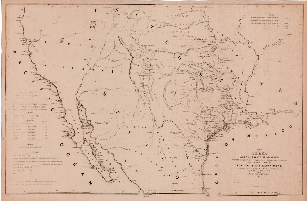
Map of Texas and the Countries Adjacent
This map of Texas and its adjacent countries was compiled for the state department and includes listed land, area, and population statistics, as well as references. Topographical features shown are sierras, mountains, lakes, rivers and rios. Indian tribe territories, trails, and military and discovery routes are indicated.
Report this entry
More from the same community-collection
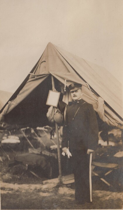
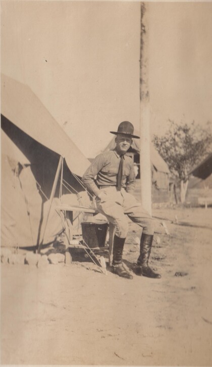
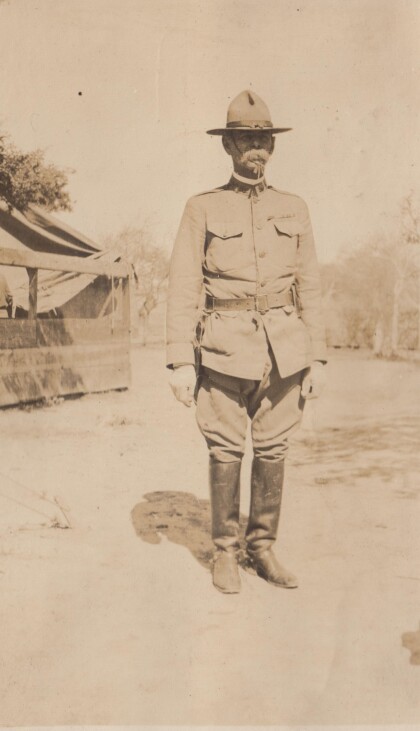
An officer of the Richmond Light Infantry
This photographs is probably from the Gordonsville encampment.
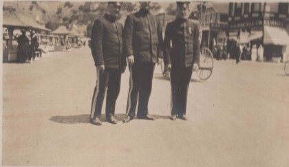
Evans, Epps, and Jones in Catalina, California
The Richmond Light Infantry traveled to California in 1915.
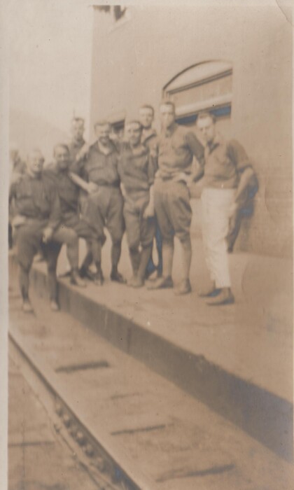
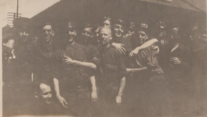
A dirty crowd at Montgovery, West Virginia
This is the Richmond Light Infantry,probably on route to ...
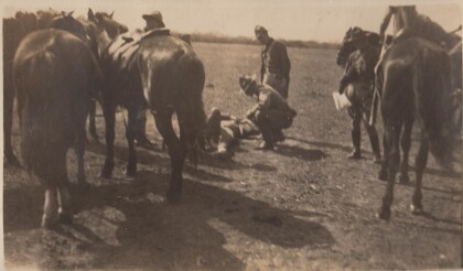
Featherston at training camp in Alabama
The Virgina Cavalry may have gone to training camp in Alabama ...
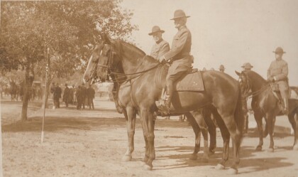
Lt. Featherstone, "B" Troop, Virginia Cavalry
The Virginia Cavalry were National Guard troops serving on the ...
Lt. Burke, "A" Troop, Virginia Cavalry
The Virginia Cavalry was mustered into the National Guard for ...
Lt. Parsons, "D" Troop, Virginia Cavalry
The Virginia Cavalry were National Guard troops who served on ...
Lt. Sweeney, "A" Troop, Virginia Cavalry
The Virginia Cavalry served on the border in 1916 as National ...
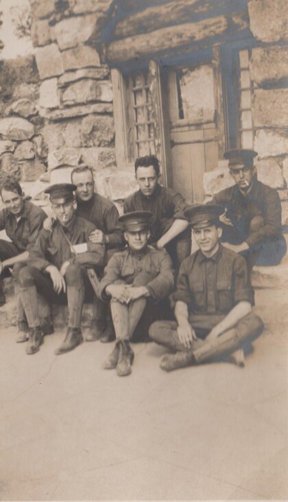
Men of the Richmond Light Infantry at the Grand Canyon
The Richmond Light Infantry visited the Grand Canyon during ...

