Headquarters of F. I. Madero (Casa Adobe)
Cuartel General de F. I. Madero (Casa Adobe)
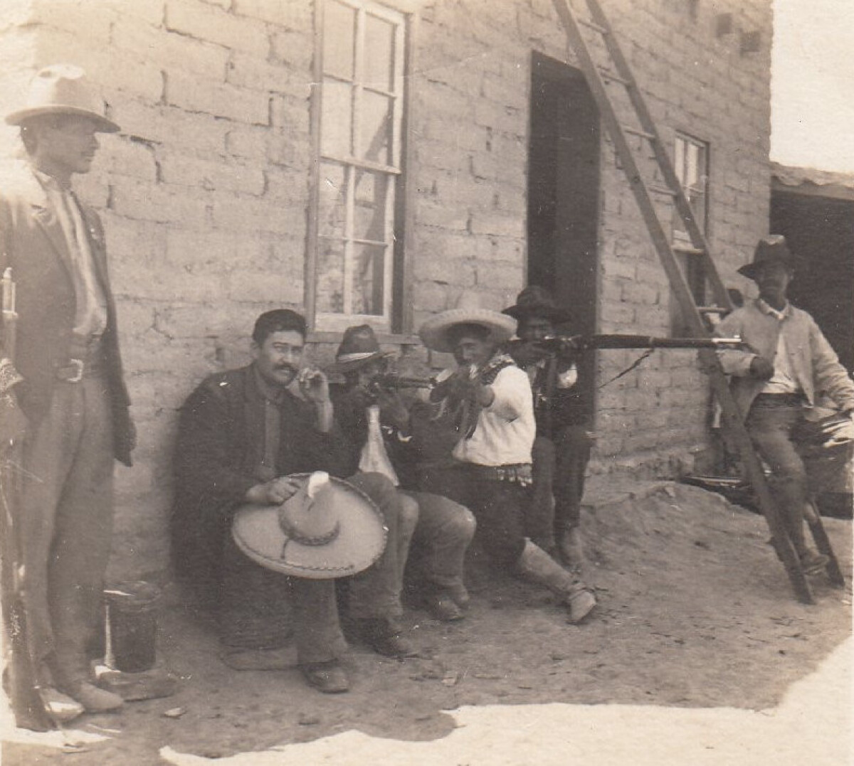
Headquarters of F. I. Madero (Casa Adobe)
The notation on the back of the image says: " Across the Rio Grande River from Smelter 1911" - Inside the image a slip of paper says: '"Casa of Adobe" Cuartel General de Francisco I. Madero' (Translation: ""House of Adobe" Headquarters of Francisco I. Madero"') Consequently, the picture shows the headquarters of Francisco I. Madero, one of the rebel leaders in the Mexican Revolution. He became president of Mexico in 1911 but was assassinated two years later. Four men are sitting down against the wall under a window - three of them with rifles; the other with his hat on his knee. There's another man standing with his rifle to his side. On the right of the image a man is sitting on a ladder. All the men are unknown.
Report this entry
More from the same community-collection
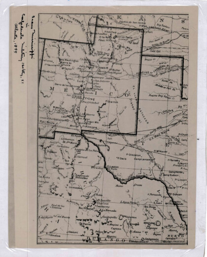
New Mexico, Texas; Chihuahua, Mexico 1861-1865
Map of the borders between New Mexico, Texas and Chihuahua, ...
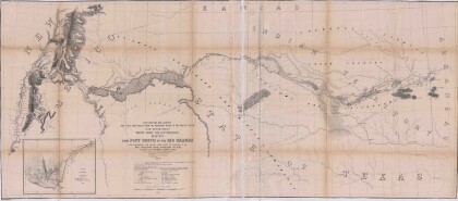
Map No. 1 from Fort Smith to the Rio Grande
Map of the route near the 35th parallel. Part of the ...
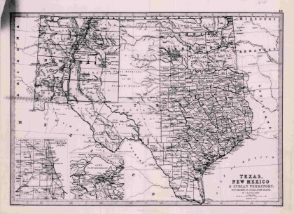
Texas, New Mexico, and Indian Territory
Map of Texas counties and New Mexico showing Indian Territories ...
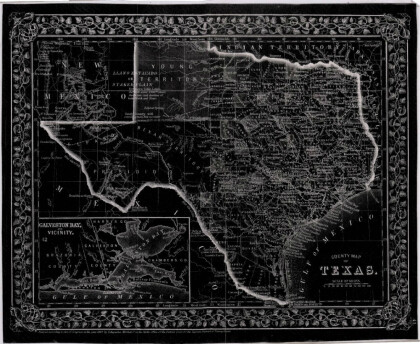
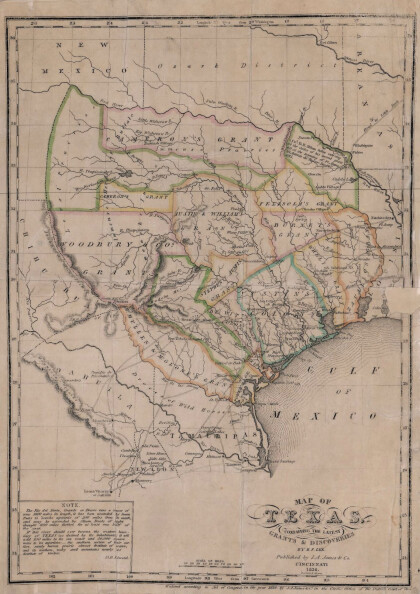
Texas: Containing the Latest Grants and Discoveries
Map of Texas containing the latest grants and discoveries in ...
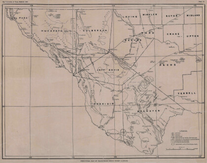
Structural Map of Trans-Pecos Texas
Map of the Trans-Pecos, Texas area; Outlines and lines are shown ...
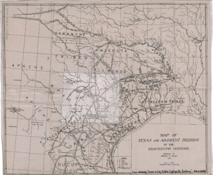
Map of Texas and Adjacent Regions in the Eighteenth Century
Map of Texas and the adjacent regions illustrating missions, ...
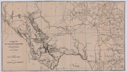
Military Map of the Rio Grande Frontier
Military map of the Rio Grande frontier prepared from original ...
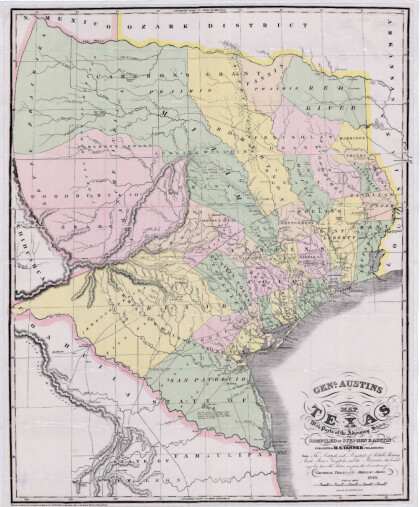
General Austin's Map of Texas with Parts of the Adjoining States
Colorful map of Texas highlighting the borders between states ...
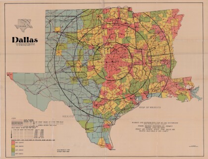
Dallas: Industrial and Distribution Center of the Southwest
Colorful market and distribution map of the Southwest - Texas, ...
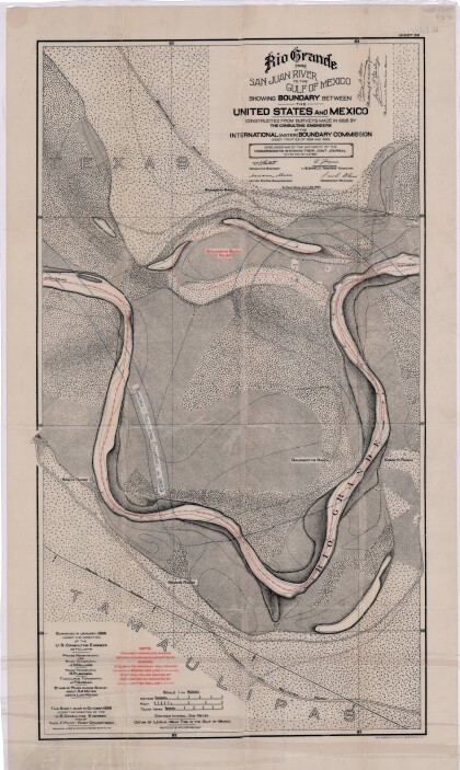
Rio Grande from San Juan River to the Gulf of Mexico
Map illustrates the Rio Grande from the San Juan River to the ...
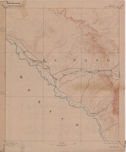
Map of Fort Hancock, Texas circa 1915
Topographical map indicating the location of Fort Hancock and ...
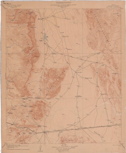
Topography: the University of Texas Mineral Survey
Topographic map of the Van Horn quadrangle in Texas. Indicates ...
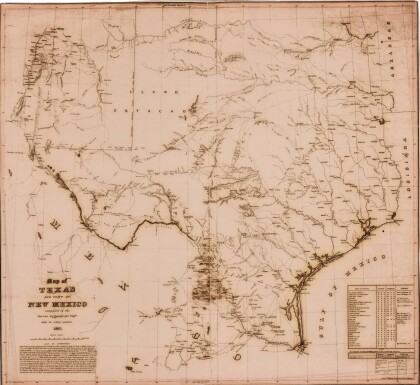
J. De Cordova's State of Texas
This geographical map of Texas was compiled from the records of ...
United States - Routes of Principal Explorers
This United States map colorfully illustrates routes taken by ...
