IBWC VIII

IBWC VIII

IBWC VIII

IBWC VIII

IBWC VIII

IBWC VIII

IBWC VIII

IBWC VIII

IBWC VIII

IBWC VIII

IBWC VIII

IBWC VIII

IBWC VIII

IBWC VIII

IBWC VIII

IBWC VIII

IBWC VIII

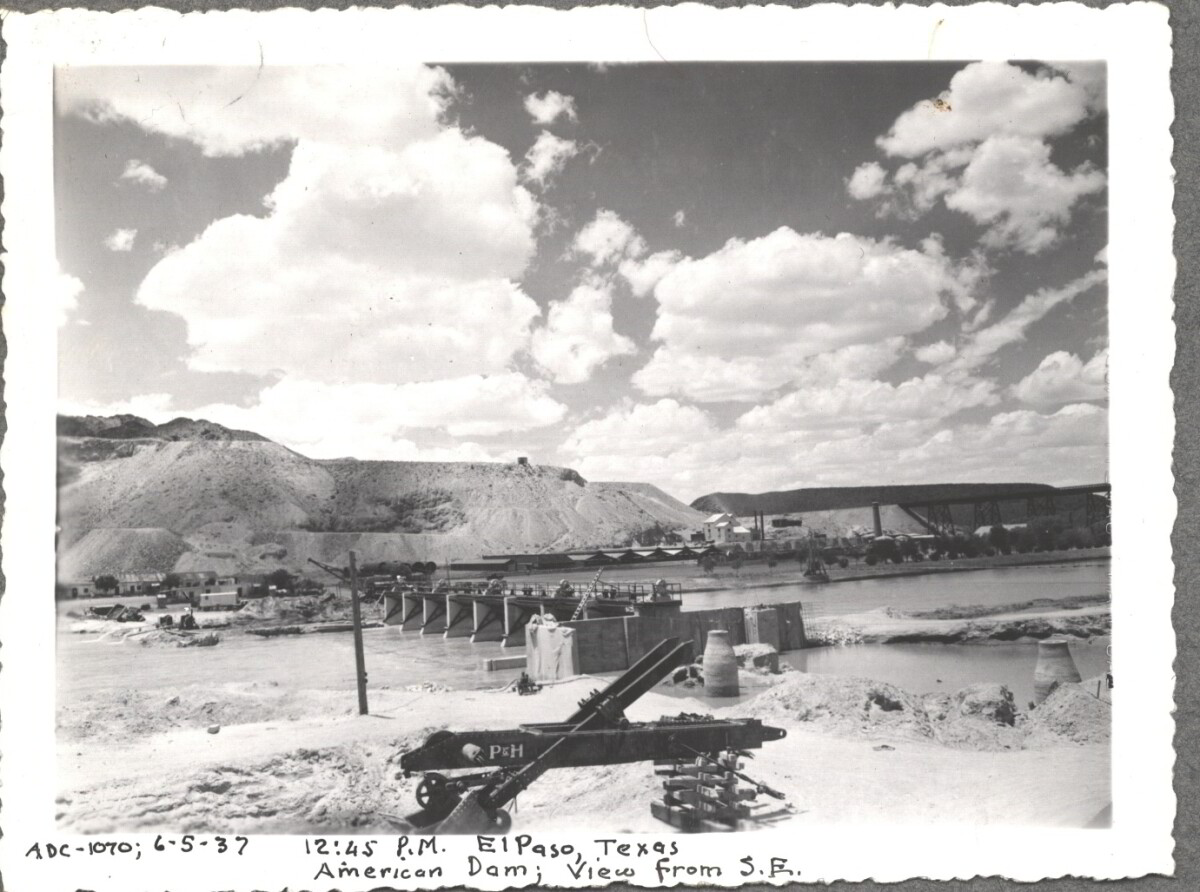
American Dam 1937

Note: 6-5-37, 12:45 pm, El Paso, Texas. American Dam; View from S.E. For centuries the Rio Grande River has been used as a source of irrigation water for agriculture in the El Paso – Juarez area. In 1889 the governments of the United States and Mexico established the International Boundary Commission (IBC), in 1944 renamed the International Boundary and Water Commission (IBWC). One of its early actions was to discuss delivery of Rio Grande water to Mexico. In 1906, the two countries agreed to deliver 60,000 acre-feet of water annually to Mexico at the main irrigation Canal in Ciudad Juarez, known as Acequia Madre. The canal's mouth is two miles downstream from the international border. The remainder of the water would be used by American farmers in the ninety-mile-long El Paso valley. In times of drought both Mexican and American shares would be reduced on a percentage basis. The system did not provide a way for the United States to allot Mexico its rightful portion and keep the rest. As a result, Mexico took its share first and channeled the remainder into the Franklin Canal for the farms in the El Paso valley. According to some American estimates this permitted Mexico to siphon off up to three times its portion of irrigation water. Responding in 1935, Congress authorized two diversionary projects, the American Dam and the American Canal. The dam caught the water in New Mexico short of the international border, measured Mexico's share and allowed it to continue to the Acequia Madre, and diverted everything else into the American Canal, a two-mile feeder leading to the Franklin Canal. The American Canal parallels West Paisano Drive (US Highway 85) and the Burlington Northern Santa Fe Railroad track. The project has proved a successful solution to the problem of dividing the waters. Sources: http://www.tshaonline.org/handbook/online/articles/rua03 http://www.ibwc.gov/Files/EnvironmentalAssessment.pdf

Área: Central / Smeltertown

Fuente: IBWC

Cargado por: El Paso Museum of History

Comentarios

Hacer un comentario
Gracias por su comentario

American Dam 1937

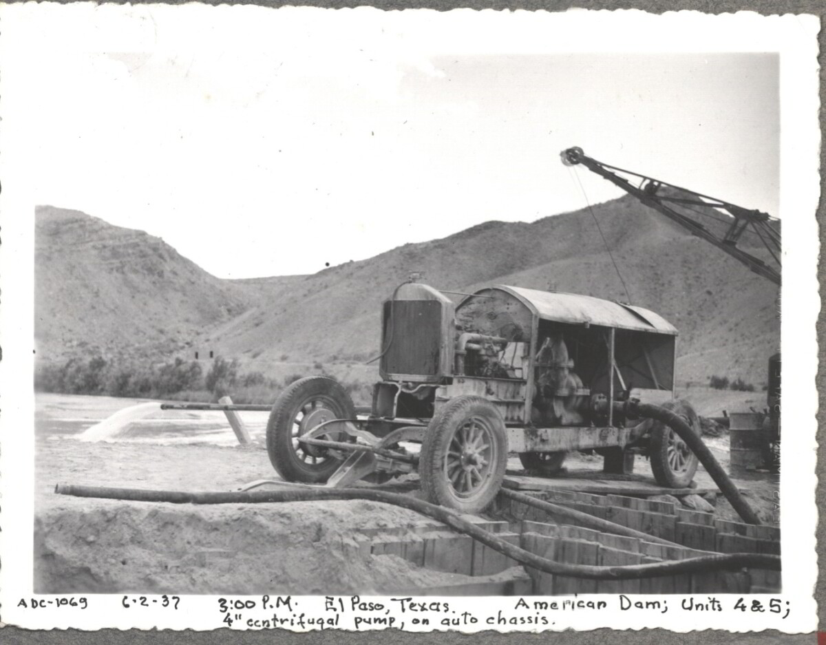
Note: 6-2-37, 3:00pm. El Paso, Texas American Dam; units 4&5; 4" centrifugal pump, on auto chassis. For centuries the Rio Grande River has been used as a source of irrigation water for agriculture in the El Paso – Juarez area. In 1889 the governments of the United States and Mexico established the International Boundary Commission (IBC), in 1944 renamed the International Boundary and Water Commission (IBWC). One of its early actions was to discuss delivery of Rio Grande water to Mexico. In 1906, the two countries agreed to deliver 60,000 acre-feet of water annually to Mexico at the main irrigation Canal in Ciudad Juarez, known as Acequia Madre. The canal's mouth is two miles downstream from the international border. The remainder of the water would be used by American farmers in the ninety-mile-long El Paso valley. In times of drought both Mexican and American shares would be reduced on a percentage basis. The system did not provide a way for the United States to allot Mexico its rightful portion and keep the rest. As a result, Mexico took its share first and channeled the remainder into the Franklin Canal for the farms in the El Paso valley. According to some American estimates this permitted Mexico to siphon off up to three times its portion of irrigation water. Responding in 1935, Congress authorized two diversionary projects, the American Dam and the American Canal. The dam caught the water in New Mexico short of the international border, measured Mexico's share and allowed it to continue to the Acequia Madre, and diverted everything else into the American Canal, a two-mile feeder leading to the Franklin Canal. The American Canal parallels West Paisano Drive (US Highway 85) and the Burlington Northern Santa Fe Railroad track. The project has proved a successful solution to the problem of dividing the waters. Sources: http://www.tshaonline.org/handbook/online/articles/rua03 http://www.ibwc.gov/Files/EnvironmentalAssessment.pdf

Área: Central / Smeltertown

Fuente: IBWC

Cargado por: El Paso Museum of History

Comentarios

Hacer un comentario
Gracias por su comentario

American Dam 1937

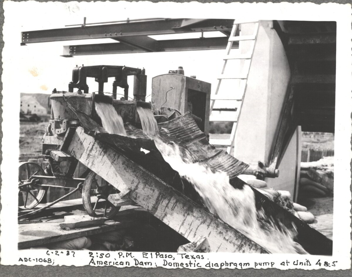
6-2-37, 2:50pm, El Paso, Texas. American Dam; Domestic diaphraqm pump at units 4&5 For centuries the Rio Grande River has been used as a source of irrigation water for agriculture in the El Paso – Juarez area. In 1889 the governments of the United States and Mexico established the International Boundary Commission (IBC), in 1944 renamed the International Boundary and Water Commission (IBWC). One of its early actions was to discuss delivery of Rio Grande water to Mexico. In 1906, the two countries agreed to deliver 60,000 acre-feet of water annually to Mexico at the main irrigation Canal in Ciudad Juarez, known as Acequia Madre. The canal's mouth is two miles downstream from the international border. The remainder of the water would be used by American farmers in the ninety-mile-long El Paso valley. In times of drought both Mexican and American shares would be reduced on a percentage basis. The system did not provide a way for the United States to allot Mexico its rightful portion and keep the rest. As a result, Mexico took its share first and channeled the remainder into the Franklin Canal for the farms in the El Paso valley. According to some American estimates this permitted Mexico to siphon off up to three times its portion of irrigation water. Responding in 1935, Congress authorized two diversionary projects, the American Dam and the American Canal. The dam caught the water in New Mexico short of the international border, measured Mexico's share and allowed it to continue to the Acequia Madre, and diverted everything else into the American Canal, a two-mile feeder leading to the Franklin Canal. The American Canal parallels West Paisano Drive (US Highway 85) and the Burlington Northern Santa Fe Railroad track. The project has proved a successful solution to the problem of dividing the waters. Sources: http://www.tshaonline.org/handbook/online/articles/rua03 http://www.ibwc.gov/Files/EnvironmentalAssessment.pdf

Área: Central / Smeltertown

Fuente: IBWC

Cargado por: El Paso Museum of History

Comentarios

Hacer un comentario
Gracias por su comentario

American Canal

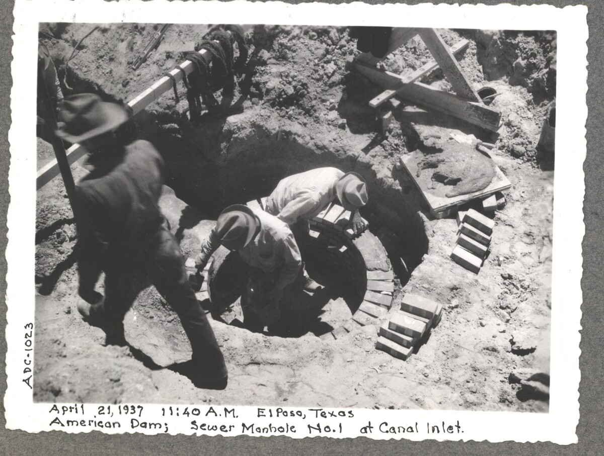
April 19 1937, American Dam sewer manhole construction at No.1 canal inlet.

Área: Central / Smeltertown

Fuente: IBWC

Cargado por: El Paso Museum of History

Comentarios

Hacer un comentario
Gracias por su comentario

American Canal

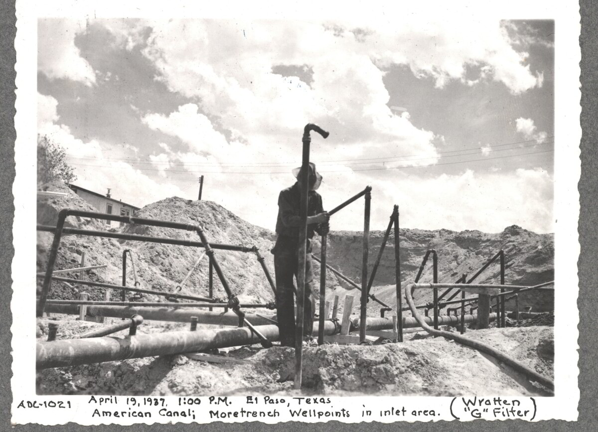
April 19 1937, More Trench at well point, inlet area American Canal

Área: Central / Smeltertown

Fuente: IBWC

Cargado por: El Paso Museum of History

Comentarios

Hacer un comentario
Gracias por su comentario

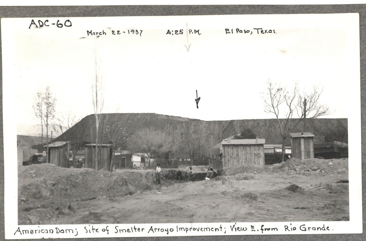
Internatinal Boundary & Water Commission

American Dam, site of smelter from Arroyo improvement; view E. of Rio Grande. March 22, 1937 at 4:25 p.m. El paso, Texas

Área: Central / Smeltertown

Fuente: IBWC

Cargado por: El Paso Museum of History

Comentarios

Hacer un comentario
Gracias por su comentario

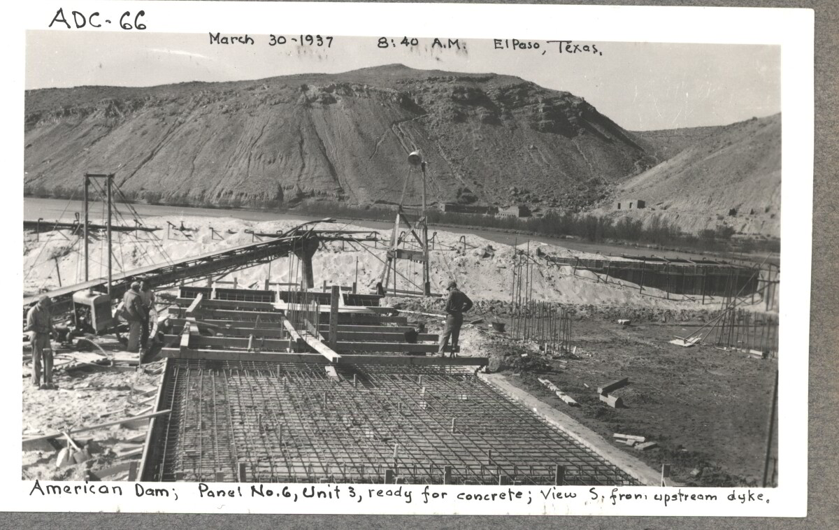
Internatinal Boundary & Water Commission

American Dam; panel No.6 , unit 3, ready for concrete view S. from , upstream dyke. March 30, 1937 at 8:40 a.m El paso, Texas.

Área: Central / Smeltertown

Fuente: IBWC

Cargado por: El Paso Museum of History

Comentarios

Hacer un comentario
Gracias por su comentario

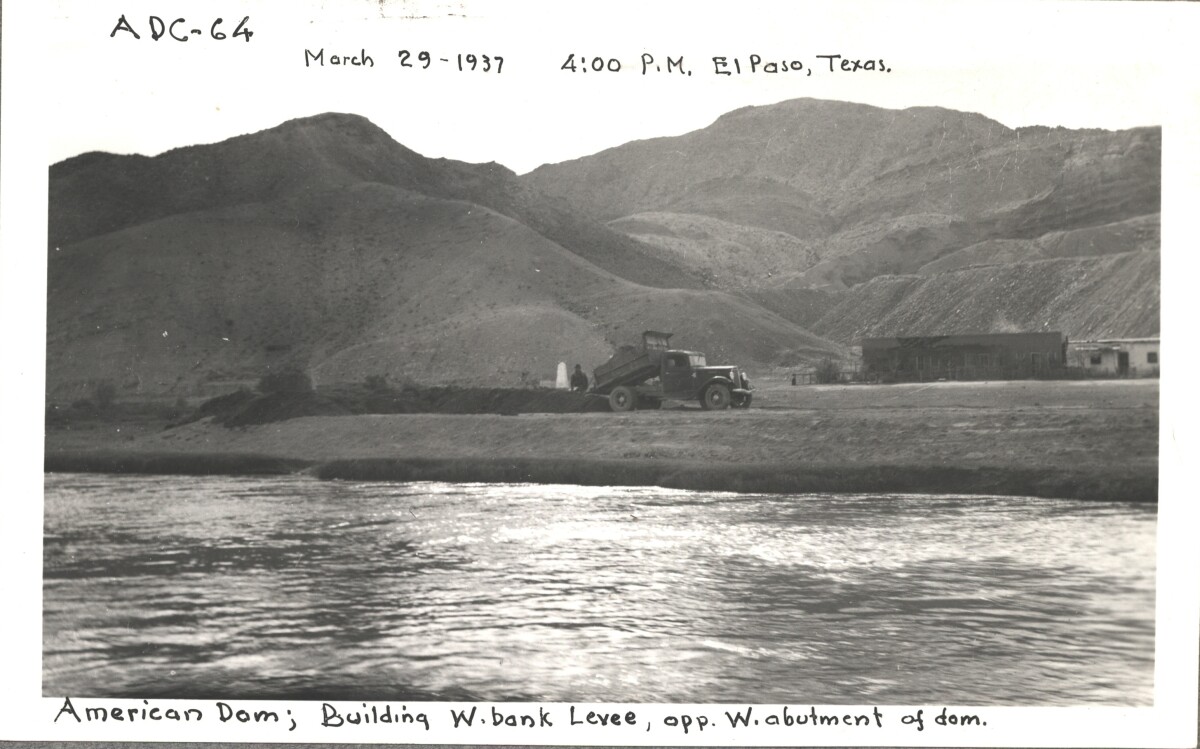
Internatinal Boundary & Water Commission

American Dam; building W. bank levee opp, W. abutment of Dom. March 29, 1937 at 4:00 p.m. El Paso, Texas.

Área: Central / Smeltertown

Fuente: IBWC

Cargado por: El Paso Museum of History

Comentarios

Hacer un comentario
Gracias por su comentario

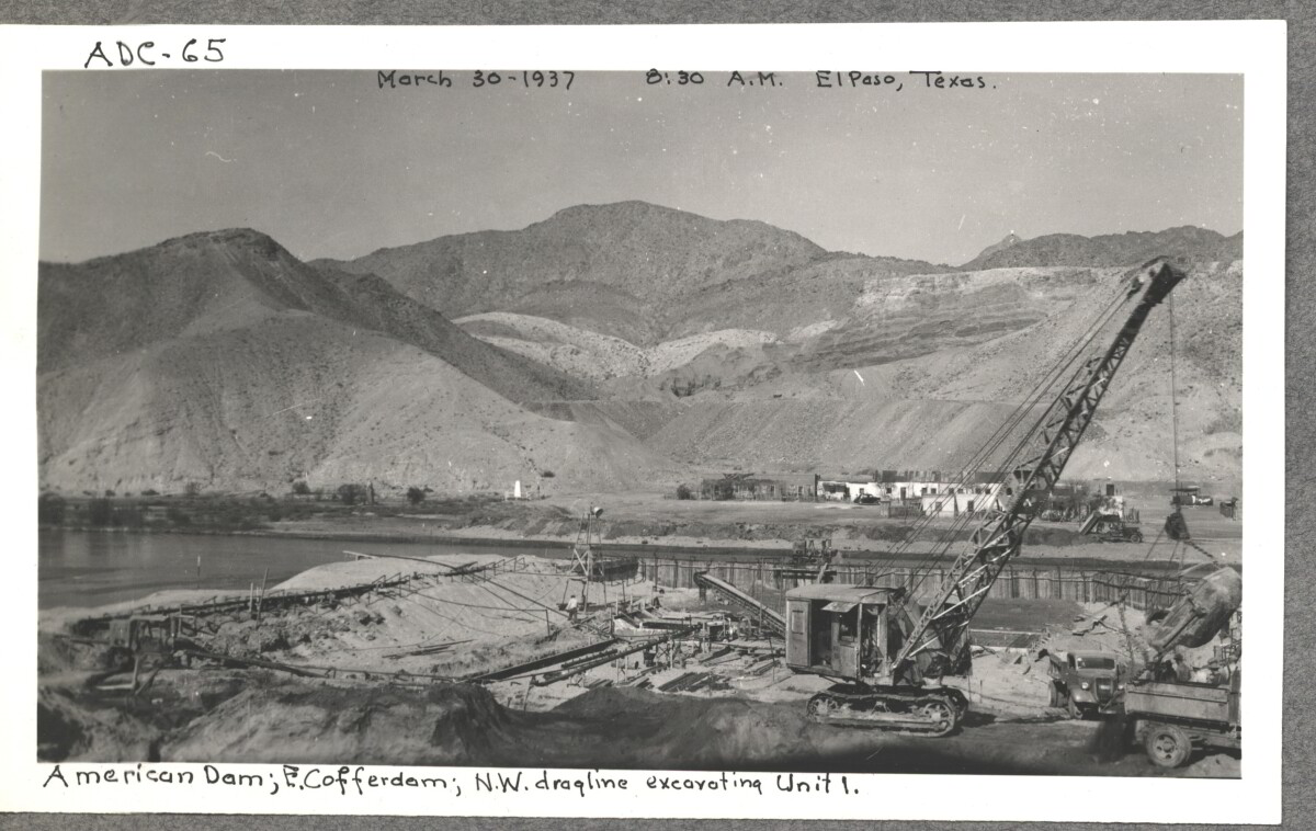
Internatinal Boundary & Water Commission

American Dam; E. cofferdam. N. W. draqline ex carting unit 1. March 30,1937 at 8:30 a.m. El paso, Texas.

Área: Central / Smeltertown

Fuente: IBWC

Cargado por: El Paso Museum of History

Comentarios

Hacer un comentario
Gracias por su comentario

Internatinal Boundary & Water Commission

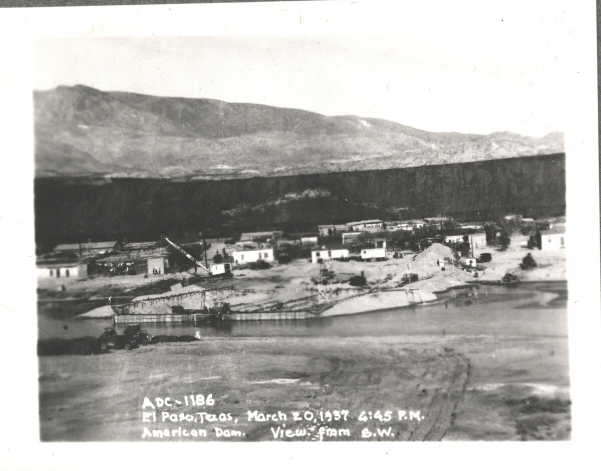
American Dam; view from S. W. El Paso, Texas March 20, 1937 at 4:45 p.m.

Área: Central / Smeltertown

Fuente: IBWC

Cargado por: El Paso Museum of History

Comentarios

Hacer un comentario
Gracias por su comentario

Internatinal Boundary & Water Commission

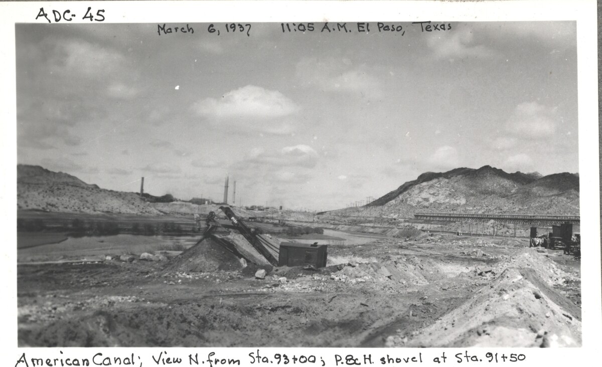
American canal; view N. from Sta. 93+00 ; p.8c H. shovel at Sta. 91+50

Área: Central / Smeltertown

Fuente: IBWC

Cargado por: El Paso Museum of History

Comentarios

Hacer un comentario
Gracias por su comentario

Internatinal Boundary & Water Commission

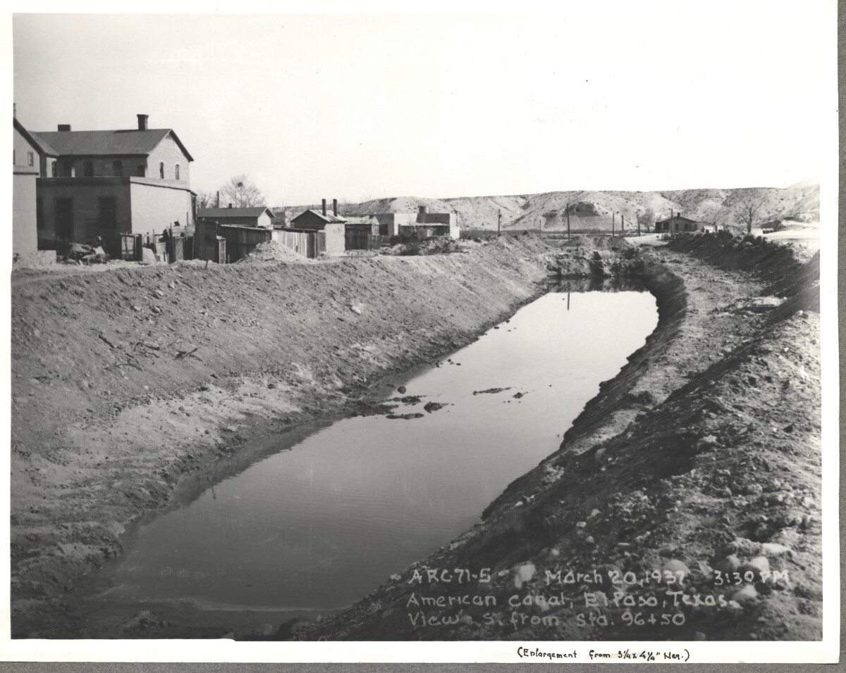
American Canal; El paso, Texas View S. Sta. 96+50. March 20, 1937 at 3:30p.m.

Fuente: IBWC

Cargado por: El Paso Museum of History

Comentarios

Hacer un comentario
Gracias por su comentario

Internatinal Boundary & Water Commission - El Paso, Texas

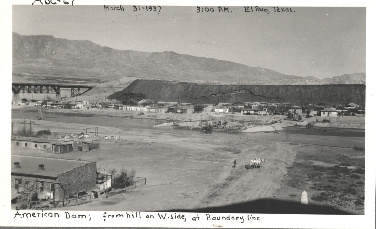
American Dam; view from hill on west side, at boundary line. El Paso, Texas March 31,1937 El Paso, Texas at 3:00 p.m.

Área: Central / Smeltertown

Fuente: IBWC

Cargado por: El Paso Museum of History

Comentarios

Hacer un comentario
Gracias por su comentario

Construction of American Canal, 1937

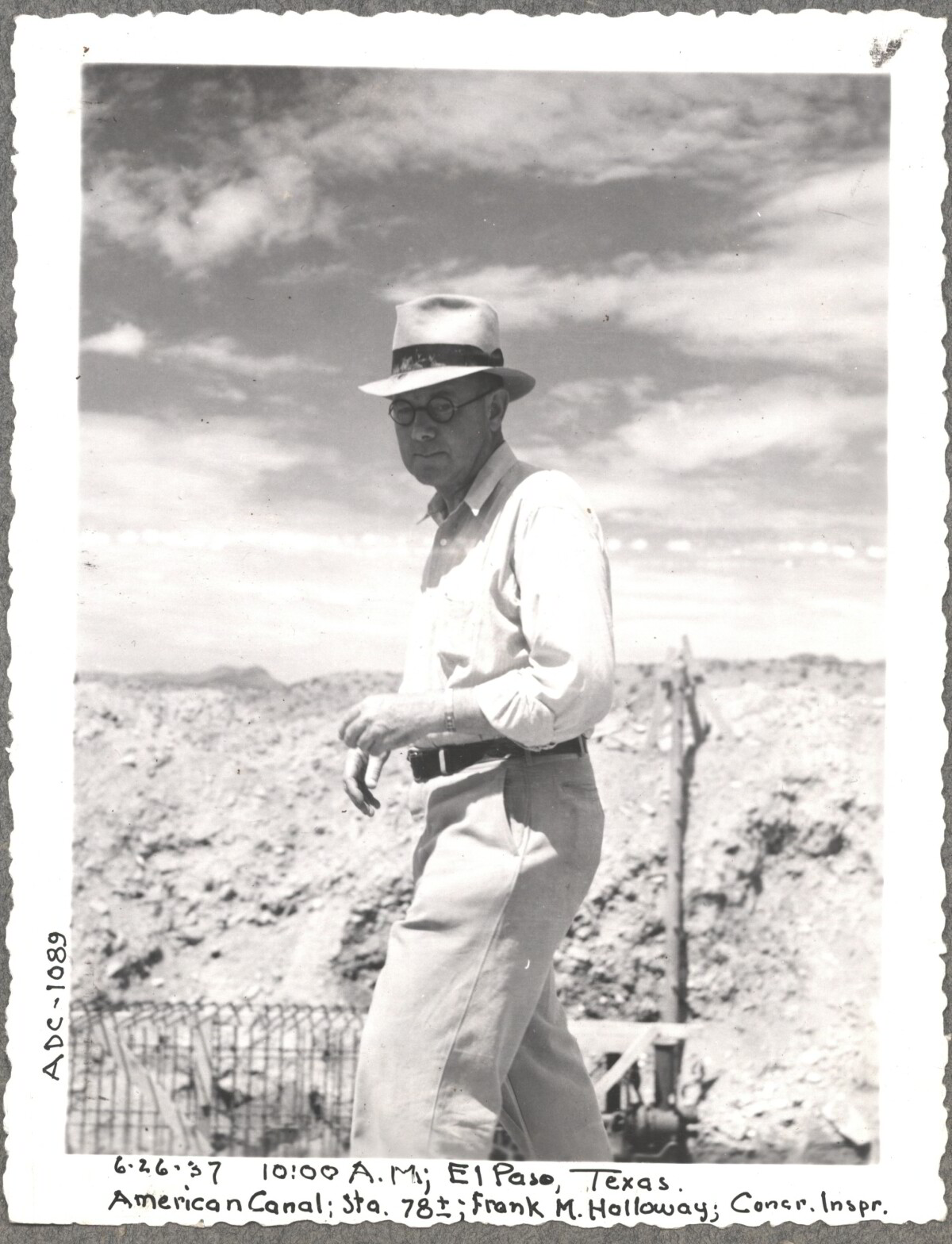
Note: 6-26-37, 10:00am, El Paso, Texas. American Canal; Sta. 78; Frank M. Holloway, Cocr. Inspr. For centuries the Rio Grande River has been used as a source of irrigation water for agriculture in the El Paso – Juarez area. In 1889 the governments of the United States and Mexico established the International Boundary Commission (IBC), in 1944 renamed the International Boundary and Water Commission (IBWC). One of its early actions was to discuss delivery of Rio Grande water to Mexico. In 1906, the two countries agreed to deliver 60,000 acre-feet of water annually to Mexico at the main irrigation Canal in Ciudad Juarez, known as Acequia Madre. The canal's mouth is two miles downstream from the international border. The remainder of the water would be used by American farmers in the ninety-mile-long El Paso valley. In times of drought both Mexican and American shares would be reduced on a percentage basis. The system did not provide a way for the United States to allot Mexico its rightful portion and keep the rest. As a result, Mexico took its share first and channeled the remainder into the Franklin Canal for the farms in the El Paso valley. According to some American estimates this permitted Mexico to siphon off up to three times its portion of irrigation water. Responding in 1935, Congress authorized two diversionary projects, the American Dam and the American Canal. The dam caught the water in New Mexico short of the international border, measured Mexico's share and allowed it to continue to the Acequia Madre, and diverted everything else into the American Canal, a two-mile feeder leading to the Franklin Canal. The American Canal parallels West Paisano Drive (US Highway 85) and the Burlington Northern Santa Fe Railroad track. The project has proved a successful solution to the problem of dividing the waters. Sources: http://www.tshaonline.org/handbook/online/articles/rua03 http://www.ibwc.gov/Files/EnvironmentalAssessment.pdf

Área: Central / Smeltertown

Fuente: IBWC

Cargado por: El Paso Museum of History

Comentarios

Hacer un comentario
Gracias por su comentario

Internatinal Boundary & Water Commission

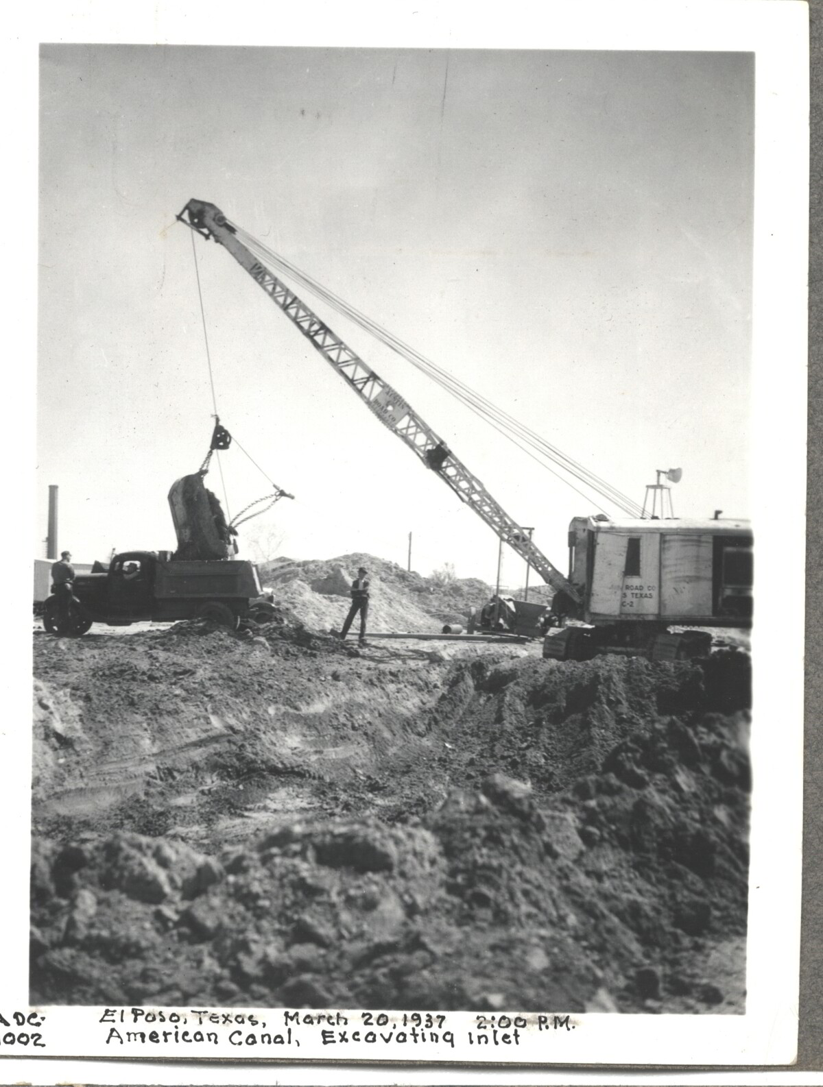
American Canal; Excavatina inlet; El Paso, Texas March 20, 1937 at 2:00 p.m.

Área: Central / Smeltertown

Fuente: IBWC

Cargado por: El Paso Museum of History

Comentarios

Hacer un comentario
Gracias por su comentario

Construction of American Dam, 1937

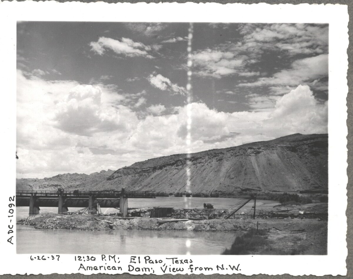
Note: 6-26-37, 12:30 pm, El Paso Texas. American Dam, View from N.W. For centuries the Rio Grande River has been used as a source of irrigation water for agriculture in the El Paso – Juarez area. In 1889 the governments of the United States and Mexico established the International Boundary Commission (IBC), in 1944 renamed the International Boundary and Water Commission (IBWC). One of its early actions was to discuss delivery of Rio Grande water to Mexico. In 1906, the two countries agreed to deliver 60,000 acre-feet of water annually to Mexico at the main irrigation Canal in Ciudad Juarez, known as Acequia Madre. The canal's mouth is two miles downstream from the international border. The remainder of the water would be used by American farmers in the ninety-mile-long El Paso valley. In times of drought both Mexican and American shares would be reduced on a percentage basis. The system did not provide a way for the United States to allot Mexico its rightful portion and keep the rest. As a result, Mexico took its share first and channeled the remainder into the Franklin Canal for the farms in the El Paso valley. According to some American estimates this permitted Mexico to siphon off up to three times its portion of irrigation water. Responding in 1935, Congress authorized two diversionary projects, the American Dam and the American Canal. The dam caught the water in New Mexico short of the international border, measured Mexico's share and allowed it to continue to the Acequia Madre, and diverted everything else into the American Canal, a two-mile feeder leading to the Franklin Canal. The American Canal parallels West Paisano Drive (US Highway 85) and the Burlington Northern Santa Fe Railroad track. The project has proved a successful solution to the problem of dividing the waters. Sources: http://www.tshaonline.org/handbook/online/articles/rua03 http://www.ibwc.gov/Files/EnvironmentalAssessment.pdf

Área: Central / Smeltertown

Fuente: IBWC

Cargado por: El Paso Museum of History

Comentarios

Hacer un comentario
Gracias por su comentario

American Canal, 1937

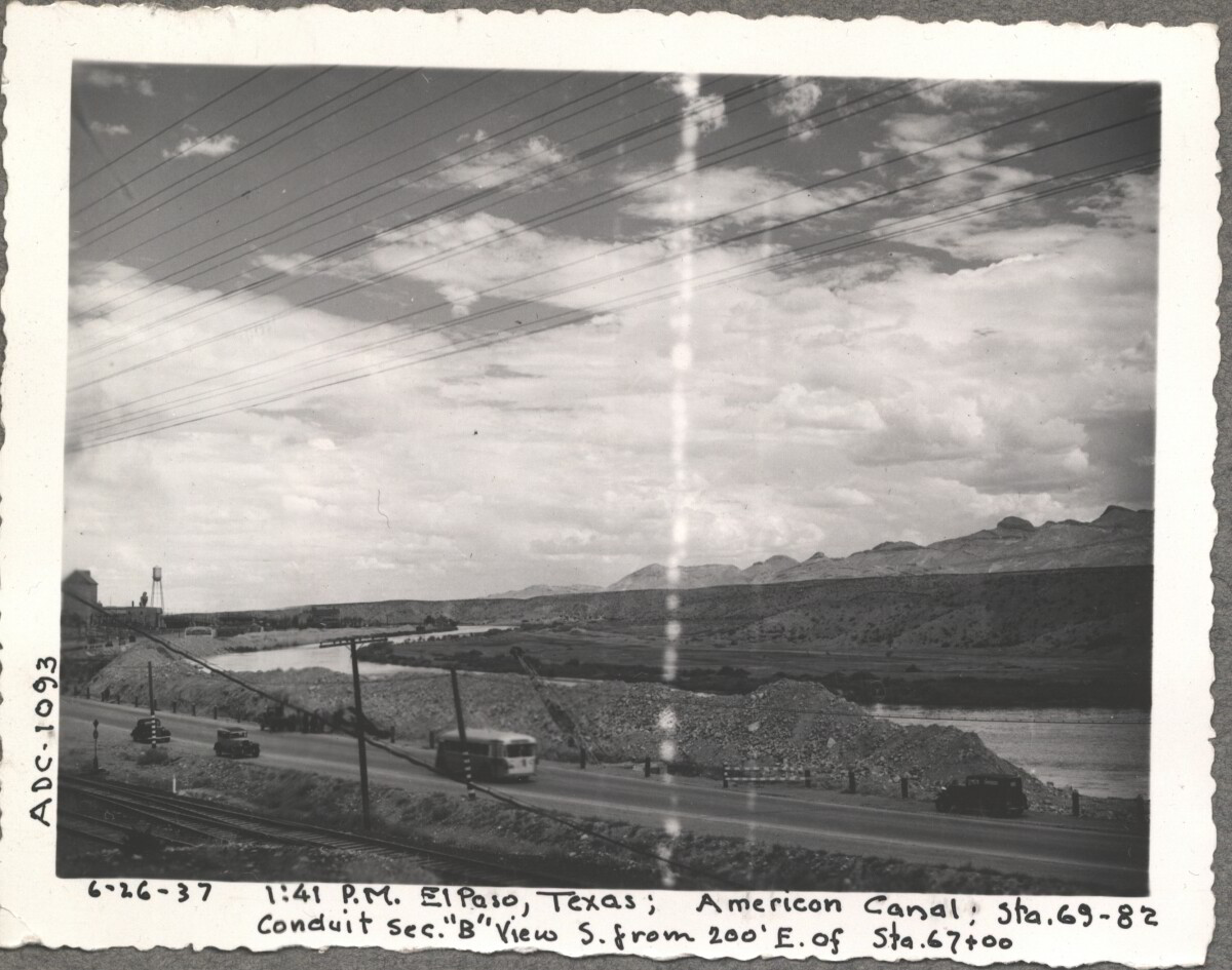
Note: 6-26-37, 1:41pm, El Paso, Texas; American Canal; sta. 69-82 Conduit sec. "B" View S. from 200' E. of Sta. 67+00 For centuries the Rio Grande River has been used as a source of irrigation water for agriculture in the El Paso – Juarez area. In 1889 the governments of the United States and Mexico established the International Boundary Commission (IBC), in 1944 renamed the International Boundary and Water Commission (IBWC). One of its early actions was to discuss delivery of Rio Grande water to Mexico. In 1906, the two countries agreed to deliver 60,000 acre-feet of water annually to Mexico at the main irrigation Canal in Ciudad Juarez, known as Acequia Madre. The canal's mouth is two miles downstream from the international border. The remainder of the water would be used by American farmers in the ninety-mile-long El Paso valley. In times of drought both Mexican and American shares would be reduced on a percentage basis. The system did not provide a way for the United States to allot Mexico its rightful portion and keep the rest. As a result, Mexico took its share first and channeled the remainder into the Franklin Canal for the farms in the El Paso valley. According to some American estimates this permitted Mexico to siphon off up to three times its portion of irrigation water. Responding in 1935, Congress authorized two diversionary projects, the American Dam and the American Canal. The dam caught the water in New Mexico short of the international border, measured Mexico's share and allowed it to continue to the Acequia Madre, and diverted everything else into the American Canal, a two-mile feeder leading to the Franklin Canal. The American Canal parallels West Paisano Drive (US Highway 85) and the Burlington Northern Santa Fe Railroad track. The project has proved a successful solution to the problem of dividing the waters. Sources: http://www.tshaonline.org/handbook/online/articles/rua03 http://www.ibwc.gov/Files/EnvironmentalAssessment.pdf

Área: Central / Smeltertown

Fuente: IBWC

Cargado por: El Paso Museum of History

Comentarios

Hacer un comentario
Gracias por su comentario

Reportar esta entrada

Elige la razón más importante para este reporte

Tu nombre

Tu correo electrónico

Detalle opcional

Gracias por su reporte

Más sobre la misma comunidad-colección

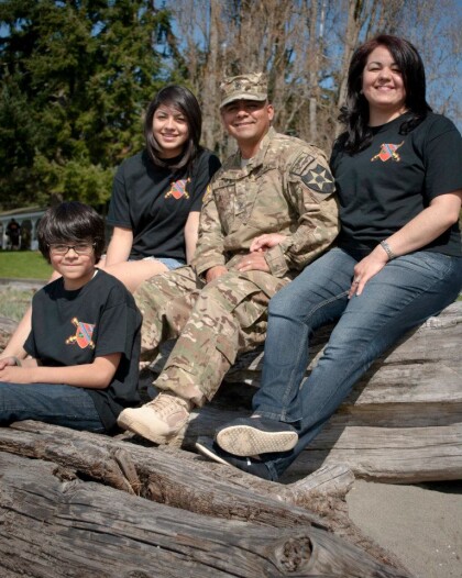
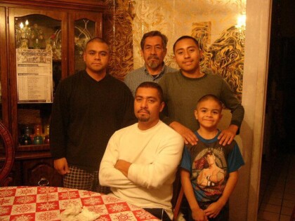
FERNANDO VILLELA'S SON - MICHAEL VILLELA, RETIRED 1SG, US ARMY

MICHAEL VILLELA RETURNS HOME TO HIS FAMILY AFTER HIS WAR ...

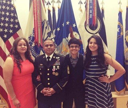
Fernando Villlela, SU HIJO RETIRADO JUBILACIÓN

FERNANDO VILLELA'S SON - MICHAEL VILLELA, RETIRED 1SG, US ARMY - ...

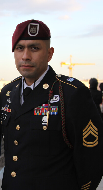
FERNANDO VILLELA'S SON - SFC ERIK VILLELA IN WASHINGTON D.C.

FERNANDO VILLELA'S SON - SFC VILLELA IN WASHINGTON D.C.

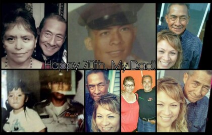
FERNANDO VILLELA'S 70TH BIRTHDAY - APRIL 5, 2016

FERNANDO VILLELA'S 70TH BIRTHDAY - APRIL 5, 2016 CELEBRATED ...

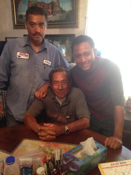
FERNANDO VILLELA'S SON - FERNIE, ROTO ROOTER MASTER SPECIALIST

FERNANDO VILLELA'S SON - FERNIE, ROTO ROOTER MASTER SPECIALIST ...

FERNANDO VILLELA SR & FERNIE JR & FERNIE III

FERNANDO VILLELA SR & FERNIE JR & FERNIE III

FERNANDO VILLELA - ROSA WITH STEPHANIE & FERNIE

FERNANDO VILLELA - ROSA WITH STEPHANIE & FERNIE

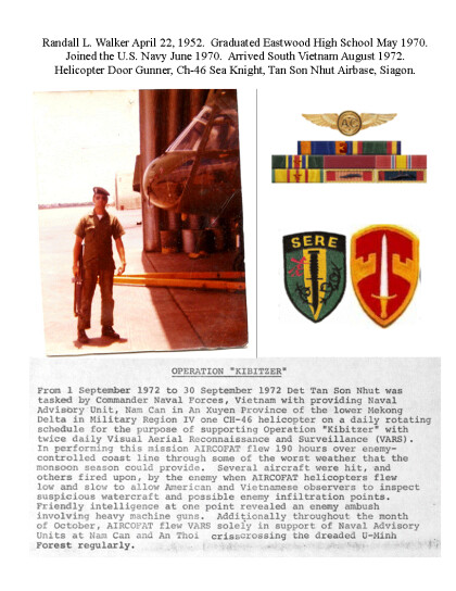
El Paso Veterano de Vietnam

Picture taken South Vietnam, Ribbons and aircrew wings awarded, ...

FERNANDO VILLELA'S - FIRST BORN DAUGHTER - STEPHANIE VILLELA

FERNANDO VILLELA'S - FIRST BORN DAUGHTER - STEPHANIE VILLELA

FERNANDO VILLELA'S - HIJA STEPHANIE - UNIQUE SALON

FERNANDO VILLELA'S - DAUGHTER STEPHANIE - UNIQUE SALON ...

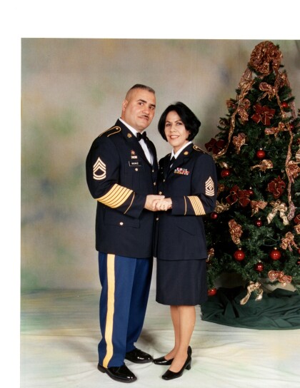
1SG GLORIA VILLELA MUNIZ AND DETACHMENT 1SG MIGUEL MUNIZ

1SG GLORIA VILLELA MUNZ AND DETACHMENT 1SG MIGUEL MUNIZ US ...

Cpl. Victor A. Flores - Vietnam - 1969

"I graduated from Bel Air High School and was 19 years old, when ...

Rodolfo "Rudy" Escajeda - 1965

After graduating from Bowie High School in 1964, I decided to ...

Zorah, Eula y Lena Sparks

Zorah Pope Sparks with two of her seven daughters

Robert Lewis Hall - Vietnam - 1966

SP4 Hall, Robert Lewis Robert (Bob-o) Lewis Hall was born and ...

Richard Reyes - Vietnam - 1964

Richard Reyes, ET2 In 1964, when I was 19 years old, I made ...

Mike Krause USNA

Michael Sam Krause graduates from the United States Naval ...

Los primos Sparks - 1950-1959

Mike, Sissy, Tim, Tinnie Sue, Glenda, Patricia

Los varones Krause

Mike and Michael Sam Krause 1953

Raymond Guerra - Vietnam - 1964

Raymond Guerra, E6 Petty Officer First Class During my free ...

La familia Ochoa - 1949

Flores and Ochoa family in the year 1949.

Estudiantes de la secundaria Austin High - 1974

Student from Austin High School playing the guitar in the quad ...
Rafael Robles - Vietnam - 1963

Rafael Robles, SP4 In December 1963, I was 21 years old when ...
home.search_collection