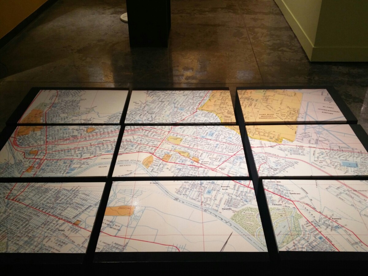
1970 Map of El Paso, Texas
Mapa de El Paso en 1970 El Paso, Texas

Mapa de El Paso en 1970 El Paso, Texas
Estos bloques constituyen un mapa de 1970 de la ciudad de El Paso. El mapa muestra las calles del ferrocarril. por los años 70 servicio de tren de pasajeros estaba a punto de cambiar a Amtrak.
Reportar esta entrada
Más sobre la misma comunidad-colección
The White House, Mills Building, and The Plaza Hotel
All of these famous El Paso landmarks in the historic Pioneer ...
The White House Department store
This department store has been around for over 100 years in one ...
Inside the White House - El Paso, Texas
One of the oldest and most well-known businesses in El Paso, ...
Me and the White House Department Store
This is a picture of me standing in front of the building that ...
Julia Bussinger - Visionary For The Digital Wall Says Goodbye
Julia Bussinger - Director of the El Paso Museum of History says ...


